Vauréal Canyon
A high waterfall drops into a narrow limestone gorge.
Plan the least frequent boat, ferry or exposed coastal section first. Use early or late light and keep a weather alternative during Jun-Sep.
Limestone canyons, waterfalls and a long shipwreck coast define a large island in the Gulf of St Lawrence.
A high waterfall drops into a narrow limestone gorge.
Plan the least frequent boat, ferry or exposed coastal section first. Use early or late light and keep a weather alternative during Jun-Sep.
The details that make Anticosti Island different.
A high waterfall drops into a narrow limestone gorge.
Long coastal exposures reveal fossil-rich rock and powerful tides.
Navigation hazards have left a strong cultural record around the island.
Limestone canyons, waterfalls and a long shipwreck coast define a large island in the Gulf of St Lawrence. The deeper story links its visible features with the people and changes behind them.
Anticosti Island occupies a large island between the north shore of Quebec and the Gaspe Peninsula. Limestone canyons, waterfalls and a long shipwreck coast define a large island in the Gulf of St Lawrence. Anticosti sits at the meeting point of the St Lawrence estuary and Gulf, connecting marine ecology with the geology of eastern Quebec.
The familiar invitation at Anticosti Island is “Vauréal Canyon”, yet that image makes more sense when it is connected to the landform, the local economy and the changes that determined access. A high waterfall drops into a narrow limestone gorge.
Continue to practical planningThe first layer of Anticosti Island is geological and ecological rather than scenic. Flat limestone plateaus are cut by clear rivers and canyons before ending at cliffs, reefs and broad tidal shorelines.
Routes and settlements at Anticosti Island follow the water system even when the map emphasises roads. “Vauréal Canyon” exposes that older logic. A high waterfall drops into a narrow limestone gorge.
At Anticosti Island, people learned to work with the landscape limits rather than arriving after its story was complete. Lighthouse history, former settlements, forestry and fishing remain visible in a landscape now dominated by protected areas and sparse access.
At Anticosti Island, the feature described as “North-coast cliffs” offers a second line of evidence. Long coastal exposures reveal fossil-rich rock and powerful tides. Within Anticosti Island, it shows how local knowledge and practical use became embedded in the landscape.
Formal protection changed how Anticosti Island was described and managed. At Anticosti Island, new boundaries, visitor rules and conservation priorities created a public identity that still has to coexist with settlements, customary use and economic pressures. At Anticosti Island, the current visitor experience is the newest layer rather than the whole history.
Start with the feature “Vauréal Canyon”, because it condenses a much larger part of the story of Anticosti Island. A high waterfall drops into a narrow limestone gorge. At Anticosti Island, it gives a concrete reference point for reading change rather than merely collecting viewpoints.
At Anticosti Island, the feature “North-coast cliffs” is one of the most useful pieces of visible evidence. Long coastal exposures reveal fossil-rich rock and powerful tides. At Anticosti Island, the detail links local scale with the wider regional pattern.
Start with the feature “Lighthouse and shipwreck history”, because it condenses a much larger part of the story of Anticosti Island. Navigation hazards have left a strong cultural record around the island. At Anticosti Island, the detail links local scale with the wider regional pattern.
At Anticosti Island, light, water and temperature reveal different structures at different times of year. Summer offers the most reliable transport and trail conditions; fog, wind and changing coastal weather remain common.
For Anticosti Island, the main seasonal constraint is: the strongest planning window is Jun-Sep. For Anticosti Island, outside it, check weather, daylight, road or ferry schedules and seasonal closures before committing to a fixed route.
For Anticosti Island, one practical detail matters: distances, fuel, food and mobile coverage can be less predictable than the map suggests. For Anticosti Island, carry offline maps and keep a margin in the schedule.
Placed within its wider geography, Anticosti Island is not an isolated exception. For Anticosti Island, the wider context shows that, anticosti sits at the meeting point of the St Lawrence estuary and Gulf, connecting marine ecology with the geology of eastern Quebec.
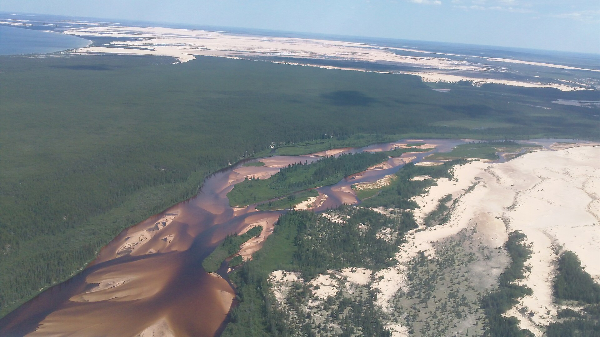
Canada's largest active dune field runs along the south shore of Lake Athabasca and supports rare endemic plants.
Explore this place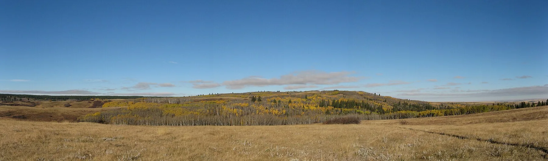
A high forested plateau rises above the surrounding prairie with lodgepole pine, coulees and dark skies.
Explore this place
A forested escarpment of lakes and rolling highland rises above Manitoba farmland.
Explore this place