Castildetierra
A capped erosional form has become the best-known symbol of the central badlands.
Build the visit around sunrise or late afternoon. Low light reveals relief, animal movement and surface colour that disappear around midday.
Eroded clay, sandstone plateaus and open semi-arid basins form a stark landscape between the Pyrenees and the Ebro valley.
A capped erosional form has become the best-known symbol of the central badlands.
Build the visit around sunrise or late afternoon. Low light reveals relief, animal movement and surface colour that disappear around midday.
The details that make Bardenas Reales different.
A capped erosional form has become the best-known symbol of the central badlands.
Soft sediment creates a constantly weathered network of gullies beneath harder horizontal surfaces.
Long-standing grazing rights and working routes reveal the human organisation of the open land.
Eroded clay, sandstone plateaus and open semi-arid basins form a stark landscape between the Pyrenees and the Ebro valley. The deeper story links its visible features with the people and changes behind them.
Bardenas Reales appears unexpectedly in northern Spain: a broad semi-arid landscape of clay ravines, tablelands and isolated forms surrounded by more productive agricultural regions. Its exposed geology and wide horizons create a visual language closer to badlands than to the green imagery usually associated with Navarre.
The strongest visual shorthand for Bardenas Reales is the experience described as “Castildetierra”. Behind it lies a more complex relationship between physical processes, settlement and the modern idea of the place as a destination. A capped erosional form has become the best-known symbol of the central badlands.
Continue to practical planningThe first layer of Bardenas Reales is geological and ecological rather than scenic. Water and wind have carved soft sediment into gullies, ridges and capped formations. The central depression, known for Castildetierra, is only one part of a larger area that includes elevated plateaus and darker steppe. The apparent emptiness is structured by drainage, vegetation and long-established routes.
Altitude turns distance into effort and creates abrupt ecological boundaries. At Bardenas Reales, “Castildetierra” provides a useful reference point for understanding that vertical structure. A capped erosional form has become the best-known symbol of the central badlands.
At Bardenas Reales, people learned to work with the landscape limits rather than arriving after its story was complete. The land has been used for grazing and seasonal agriculture by neighbouring communities, and traditional rights remain important to its identity. Military use in part of the area adds a modern and sometimes contested layer. Historic paths, corrals and boundaries show that the landscape is managed rather than untouched.
At Bardenas Reales, the feature described as “Ravines and plateaus” offers a second line of evidence. Soft sediment creates a constantly weathered network of gullies beneath harder horizontal surfaces. Within Bardenas Reales, it shows how local knowledge and practical use became embedded in the landscape.
The decisive modern change at Bardenas Reales was access. At Bardenas Reales, transport and visitor infrastructure made the landscape easier to reach while concentrating pressure at the few points where roads, boats or trails enter it. At Bardenas Reales, the result is not a clean break with the past because earlier routes and habits continue to organise the present landscape.
At Bardenas Reales, the feature “Castildetierra” is best understood as part of the surrounding system rather than an isolated stop. A capped erosional form has become the best-known symbol of the central badlands. At Bardenas Reales, the detail links local scale with the wider regional pattern.
At Bardenas Reales, the significance of the feature “Ravines and plateaus” goes beyond its visual impact. Soft sediment creates a constantly weathered network of gullies beneath harder horizontal surfaces. Within Bardenas Reales, the feature explains why this destination differs from nearby landscapes.
At Bardenas Reales, the significance of the feature “Pastoral history” goes beyond its visual impact. Long-standing grazing rights and working routes reveal the human organisation of the open land. For Bardenas Reales, that relationship is more informative than treating the feature only as a photograph or checklist item.
At Bardenas Reales, season is part of the landscape history, not merely a planning detail. Spring and autumn are the most balanced seasons for the open terrain. Summer heat can be severe and shade is limited, while rain can rapidly affect clay tracks. Winter brings colder light, fewer visitors and a more austere reading of the landforms.
For Bardenas Reales, the main seasonal constraint is: the strongest planning window is Mar-Jun, Sep-Nov. For Bardenas Reales, outside it, check weather, daylight, road or ferry schedules and seasonal closures before committing to a fixed route.
For Bardenas Reales, one practical detail matters: distances, fuel, food and mobile coverage can be less predictable than the map suggests. For Bardenas Reales, carry offline maps and keep a margin in the schedule.
Placed within its wider geography, Bardenas Reales is not an isolated exception. For Bardenas Reales, the wider context shows that, bardenas sits between the Pyrenean foothills, Tudela and the Ebro basin. For Bardenas Reales, linking it with nearby historic towns and irrigated agricultural landscapes makes the contrast sharper: the badlands are not a detached desert but part of a complex regional transition.

A loop descends from a medieval hill village to metal walkways fixed above the Vero River.
Explore this place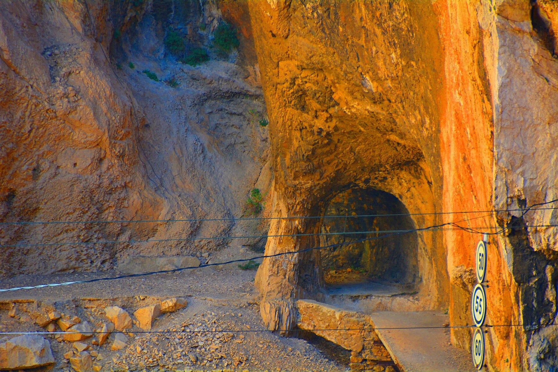
A restored boardwalk follows the walls of the Gaitanes Gorge above a narrow river and railway corridor.
Explore this place
Atlantic cliffs, pale beaches, dune systems and seabird colonies form a compact island group at the mouth of the Ria de Vigo.
Explore this place