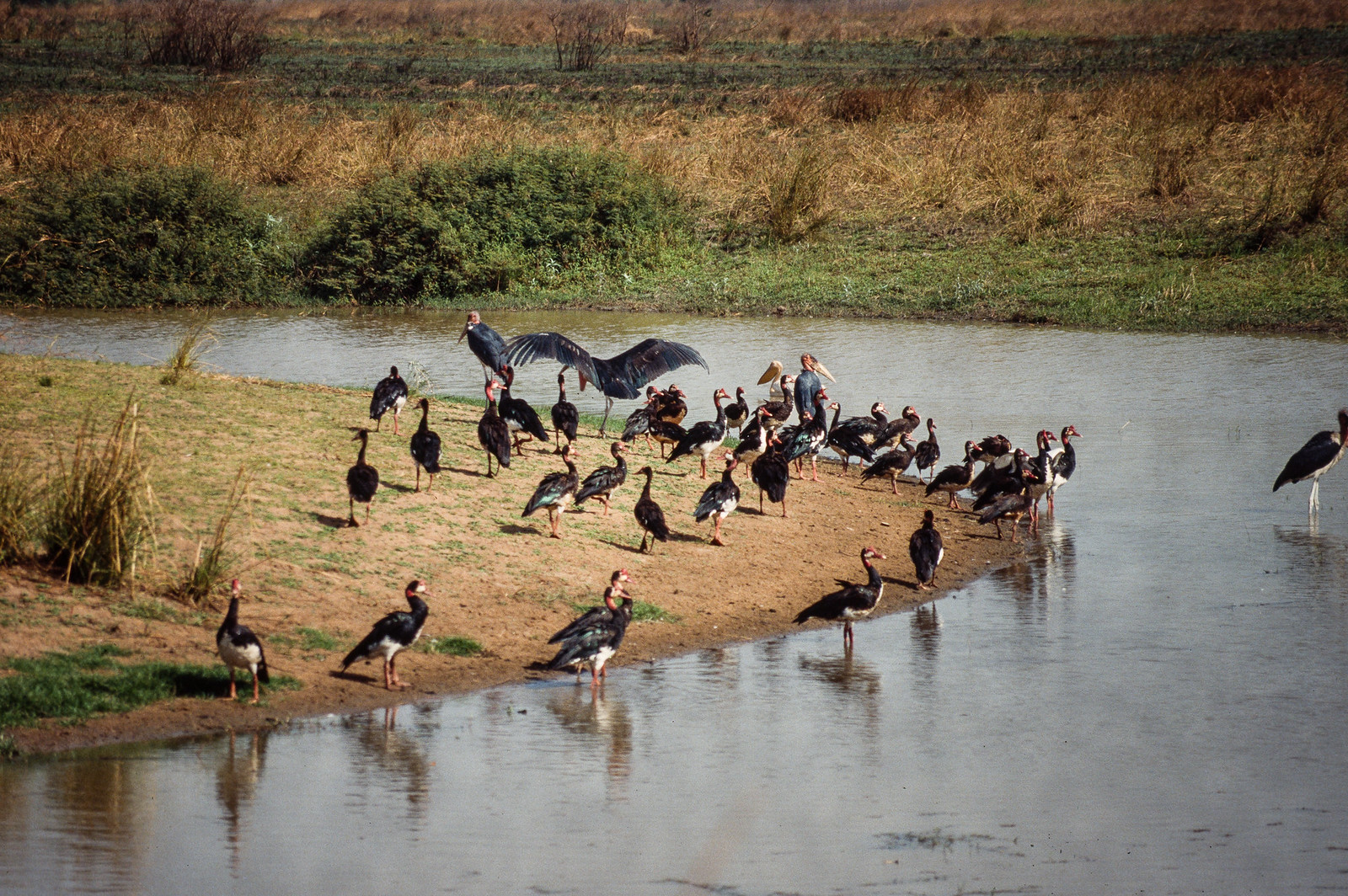
Rolling grasslands, sandy soils and narrow forest galleries create an open plateau unlike the surrounding Congo Basin rainforest. The view is only the surface of a longer story of formation, use and change.
4 min readCentral African plateau, Gabon and Republic of the Congo
Bateke Plateau is centred on Central African plateau, where rolling grasslands, sandy soils and narrow forest galleries create an open plateau unlike the surrounding Congo Basin rainforest. The strongest reason to make the journey is to walk a grassland ridge above a hidden forest river.
The familiar invitation at Bateke Plateau is “Walk a grassland ridge above a hidden forest river”, yet that image makes more sense when it is connected to the landform, the local economy and the changes that determined access. The landscape alternates between huge open horizons and deeply cut green corridors, making the plateau feel both expansive and concealed.
Before roads, settlements or protected-area boundaries, the terrain of Bateke Plateau set the basic terms. Open grassland is broken by rivers, woodland and seasonal water. Light and wildlife movement change rapidly between the cool morning, midday heat and evening.
Altitude turns distance into effort and creates abrupt ecological boundaries. At Bateke Plateau, “Lefini and Mpassa valleys” provides a useful reference point for understanding that vertical structure. Rivers cut forested channels into the open plateau.
02
Settlement and memory
Lives shaped by the terrain
The Bateke Plateau is named for Teke peoples whose political, trade and pastoral networks crossed open savannas between the Congo and Ogooue basins. Fire, cultivation and seasonal movement helped maintain grasslands within a wider forest region.
Colonial boundaries divided Teke territories, and later roads, hunting and resource extraction reduced wildlife. Gabon created Bateke Plateau National Park in 2002 as part of a national expansion of protected areas.
03
Turning point
What altered the old balance
Reintroduction projects, including efforts to restore large predators and herbivores, have made the plateau a test of ecological recovery. Conservation must operate across an international landscape rather than within Gabon's park boundary alone.
04
On the ground
Landmarks that carry the deeper story
At Bateke Plateau, the feature “Lefini and Mpassa valleys” provides a precise clue to how the landscape works. Rivers cut forested channels into the open plateau. For Bateke Plateau, that relationship is more informative than treating the feature only as a photograph or checklist item.
At Bateke Plateau, the feature “Rolling grasslands” is one of the most useful pieces of visible evidence. Long ridges create broad light and weather views. At Bateke Plateau, the detail links local scale with the wider regional pattern.
At Bateke Plateau, the feature “Forest galleries” is one of the most useful pieces of visible evidence. Dense vegetation follows water through the savanna. At Bateke Plateau, the detail links local scale with the wider regional pattern.
05
Season and scale
The current chapter
At Bateke Plateau, season is part of the landscape history, not merely a planning detail. For Bateke Plateau, the most reliable visiting window is Jun-Sep.
For Bateke Plateau, the stated visiting window is Jun-Sep, but its practical meaning depends on local weather, water and transport rather than the calendar alone.
Placed within its wider geography, Bateke Plateau is not an isolated exception. Beyond the best-known image of Bateke Plateau feature, Bateke Plateau matters because rolling grasslands and forest galleries place the destination inside a broader regional story.
Chronology
Key dates
Teke trade and savanna management
Communities linked river basins through political and commercial networks.
Borders divide the plateau
French territories fragmented older routes and intensified hunting.
National park established
Gabon protected a large savanna-forest mosaic and began long-term restoration.
Travel notes
Plan your visit
Time needed
3-5 days
Getting around
4x4 and authorised local guide
Effort
Moderate
Plan first
Access, guide, security and seasonal road conditions
Time of day
Sunrise and late afternoon
Best window
Jun-Sep
Traveller stories
Stories from people who have been here.
First-hand moments, practical notes and overlooked details from Bateke Plateau.