Southern coastline

Cilento Coast

A long southern Italian coastline where fishing towns, headlands, beaches and inland hill villages are spread across a landscape with room to breathe.

Tyrrhenian coastHill villagesAncient landscapes

Location
Campania, Italy
Best window
Apr-Oct
Suggested stay
2-4 days
Go for
Coast and countryside
The reason to go

Castellabate

A hill town and group of coastal settlements that show the connection between inland defence, agriculture and the sea.

Plan the least frequent boat, ferry or exposed coastal section first. Use early or late light and keep a weather alternative during Apr-Oct.

Look a little closer

Worth discovering

The details that make Cilento Coast different.

Destination view
01

Castellabate

A hill town and group of coastal settlements that show the connection between inland defence, agriculture and the sea.

Destination view
02

Cape Palinuro

Cliffs, coves and sea caves create one of the coast's strongest transitions between open water and limestone terrain.

Photo journal
03

Marina di Camerota

A harbour town surrounded by beaches and headlands that provide access to both local life and coastal walking.

Photo journal

A closer look at Cilento Coast

17 photographs
Landscape and history

A deeper history of Cilento Coast

A long southern Italian coastline where fishing towns, headlands, beaches and inland hill villages are spread across a landscape with room to breathe. Its character becomes clearer when geology, settlement and modern protection are considered together.

The Cilento Coast extends south of Salerno through a varied sequence of sandy bays, rocky capes, harbour towns and inland ridges. Settlements such as Castellabate, Acciaroli, Palinuro and Marina di Camerota each occupy a distinct piece of coast rather than forming one continuous urban strip. The result is a region suited to a multi-day journey rather than a single famous road.

Many visits to Cilento Coast begin with the experience described as “Castellabate”. The more revealing question is why it exists here, how people used the surrounding ground and what remains visible from earlier phases. A hill town and group of coastal settlements that show the connection between inland defence, agriculture and the sea.

Continue to practical planning
Cilento Coast — view 4See the complete photo journal
Landform

What the ground explains

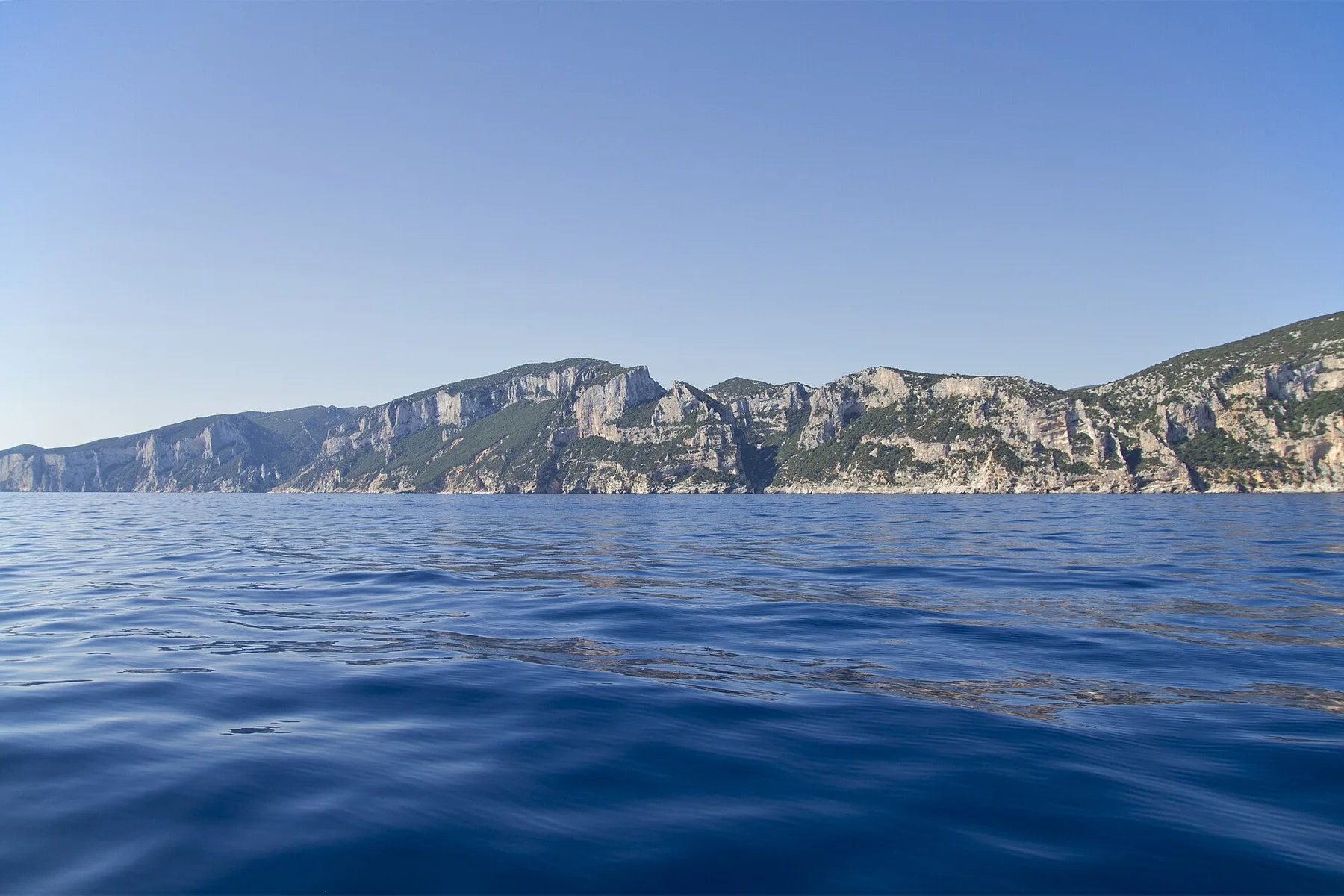
Before roads, settlements or protected-area boundaries, the terrain of Cilento Coast set the basic terms. Low beaches alternate with limestone promontories, sea caves and headlands covered by Mediterranean vegetation. Inland, the terrain rises toward olive groves, wooded slopes and older villages positioned above the water. This shift between coast and interior gives the region more geographical depth than its beach image suggests.

Because land is limited, every ridge, bay and passage acquires practical importance. At Cilento Coast, “Castellabate” is where that compressed geography becomes easiest to read. A hill town and group of coastal settlements that show the connection between inland defence, agriculture and the sea.

Settlement and memory

The human landscape behind the scenery

At Cilento Coast, human history is written into settlement and land use rather than separated from the scenery. Fishing harbours, agricultural terraces and historic town centres remain visible across the coast. Castellabate links a hilltop core with several maritime settlements, while smaller communities retain local markets and seasonal rhythms. Archaeological sites and long-established rural landscapes place present-day tourism within a much older pattern of movement and settlement.

At Cilento Coast, “Cape Palinuro” should not be treated as a decorative detail. Cliffs, coves and sea caves create one of the coast's strongest transitions between open water and limestone terrain. The feature records how construction, movement or livelihood adapted to local conditions at Cilento Coast.

Turning point

How access and attention changed the place

Formal protection changed how Cilento Coast was described and managed. At Cilento Coast, new boundaries, visitor rules and conservation priorities created a public identity that still has to coexist with settlements, customary use and economic pressures. At Cilento Coast, the current visitor experience is the newest layer rather than the whole history.

Details to read

Three details that explain the whole place

At Cilento Coast, the feature “Castellabate” is one of the most useful pieces of visible evidence. A hill town and group of coastal settlements that show the connection between inland defence, agriculture and the sea. At Cilento Coast, the detail links local scale with the wider regional pattern.

Start with the feature “Cape Palinuro”, because it condenses a much larger part of the story of Cilento Coast. Cliffs, coves and sea caves create one of the coast's strongest transitions between open water and limestone terrain. For Cilento Coast, that relationship is more informative than treating the feature only as a photograph or checklist item.

At Cilento Coast, the feature “Marina di Camerota” is best understood as part of the surrounding system rather than an isolated stop. A harbour town surrounded by beaches and headlands that provide access to both local life and coastal walking. For Cilento Coast, that relationship is more informative than treating the feature only as a photograph or checklist item.

Living landscape

What continues to change

A single visit to Cilento Coast captures only one phase of its annual cycle. May, June and September usually offer warm conditions with more space along roads and waterfronts. July and August bring the busiest beaches and strongest evening life. Spring and autumn are better for linking the coast with archaeological sites, hill towns and walking routes without making the trip entirely about swimming.

For Cilento Coast, the main seasonal constraint is: the strongest planning window is Apr-Oct. For Cilento Coast, outside it, check weather, daylight, road or ferry schedules and seasonal closures before committing to a fixed route.

For Cilento Coast, one practical detail matters: cloud, wind and trail conditions can change quickly. For Cilento Coast, put the highest or most exposed stop first and keep a lower-level alternative.

Placed within its wider geography, Cilento Coast is not an isolated exception. For Cilento Coast, the wider context shows that, the coast belongs to the broader Cilento and Vallo di Diano landscape, where Paestum, inland valleys and protected mountain areas extend the journey well beyond the shoreline. For Cilento Coast, it can function as a slower alternative to more compressed coastal destinations while retaining a distinctly Campanian character.
Travel notes

Plan your visit

Time needed
2-4 days
Getting around
Car to access points, then walking or hiking
Effort
Moderate
Plan first
Opening days and any limited-entry sites
Time of day
Start early for clearer conditions and more time
Best window
Apr-Oct
Traveller stories

Stories from people who have been here.

First-hand moments, practical notes and overlooked details from Cilento Coast.

Loading traveller stories…

Browse all traveller stories ↗

Keep exploring

Where next?

All place stories