Lagoon networks
Open water and narrow channels provide the principal routes through the wetland.
Plan the least frequent boat, ferry or exposed coastal section first. Use early or late light and keep a weather alternative during Apr-Oct.
Lagoons, floating vegetation, grassland and wildlife form one of South America's largest freshwater wetland systems.
Open water and narrow channels provide the principal routes through the wetland.
Plan the least frequent boat, ferry or exposed coastal section first. Use early or late light and keep a weather alternative during Apr-Oct.
The details that make Ibera Wetlands different.
Open water and narrow channels provide the principal routes through the wetland.
Dense plant mats create moving islands and distinctive habitats.
Species restoration has become a visible part of the region's ecological and economic future.
Lagoons, floating vegetation, grassland and wildlife form one of South America's largest freshwater wetland systems. The view is only the surface of a longer story of formation, use and change.
The Ibera Wetlands occupy a vast interior basin in Argentina's Corrientes Province. Lagoons, marshes, floating plant mats and seasonally flooded grassland create a landscape where water determines nearly every route. Small gateway communities provide access to different parts of a system too large to be represented by one reserve or boat trip.
The familiar invitation at Ibera Wetlands is “Lagoon networks”, yet that image makes more sense when it is connected to the landform, the local economy and the changes that determined access. Open water and narrow channels provide the principal routes through the wetland.
Continue to practical planningAt Ibera Wetlands, the physical story begins with the structure of the ground. Shallow water moves slowly through channels and lagoons, supporting dense aquatic vegetation. Floating embalsados can carry shrubs and small trees, while drier islands provide refuge for mammals and birds. Fire, flood and seasonal rainfall continually alter the boundary between open water, marsh and grassland.
On an island, coast, altitude and exposure work together. At Ibera Wetlands, the feature described as “Lagoon networks” shows how a short distance can separate sheltered ground from a very different ocean-facing environment. Open water and narrow channels provide the principal routes through the wetland.
At Ibera Wetlands, human history is written into settlement and land use rather than separated from the scenery. Cattle culture, fishing and rural settlements have long shaped the region. Conservation and rewilding projects have restored species and created new tourism economies, particularly around towns such as Colonia Carlos Pellegrini. These changes bring opportunities but also require careful distribution of benefits and access among local communities.
At Ibera Wetlands, the feature described as “Floating vegetation” offers a second line of evidence. Dense plant mats create moving islands and distinctive habitats. Within Ibera Wetlands, it shows how local knowledge and practical use became embedded in the landscape.
Formal protection changed how Ibera Wetlands was described and managed. At Ibera Wetlands, new boundaries, visitor rules and conservation priorities created a public identity that still has to coexist with settlements, customary use and economic pressures. At Ibera Wetlands, the consequences are clearest where traditional use, protection and tourism occupy the same ground.
Look closely at the feature “Lagoon networks” in Ibera Wetlands; it carries information that a panoramic view can miss. Open water and narrow channels provide the principal routes through the wetland. Within Ibera Wetlands, the feature explains why this destination differs from nearby landscapes.
Look closely at the feature “Floating vegetation” in Ibera Wetlands; it carries information that a panoramic view can miss. Dense plant mats create moving islands and distinctive habitats. Within Ibera Wetlands, the feature explains why this destination differs from nearby landscapes.
Look closely at the feature “Rewilding landscape” in Ibera Wetlands; it carries information that a panoramic view can miss. Species restoration has become a visible part of the region's ecological and economic future. At Ibera Wetlands, it gives a concrete reference point for reading change rather than merely collecting viewpoints.
Ibera Wetlands changes through the year because weather and biological cycles rearrange what can be seen and used. Autumn through spring generally offers milder temperatures and strong wildlife viewing. Summer is hot, humid and storm-prone, though the wetland remains active year-round. Water levels vary between years, influencing boat routes, animal distribution and the appearance of the landscape.
For Ibera Wetlands, the main seasonal constraint is: the strongest planning window is Apr-Oct. For Ibera Wetlands, outside it, check weather, daylight, road or ferry schedules and seasonal closures before committing to a fixed route.
For Ibera Wetlands, one practical detail matters: ferries, tunnels and weather can change the order of the day. For Ibera Wetlands, build the route around the least frequent connection, not the closest viewpoint.
Placed within its wider geography, Ibera Wetlands is not an isolated exception. For Ibera Wetlands, the wider context shows that, ibera connects ecologically with the Parana basin, subtropical grasslands and wetlands extending toward Paraguay and Brazil. For Ibera Wetlands, it shows how interior South America is structured by slow water systems as much as by major rivers or forest frontiers.
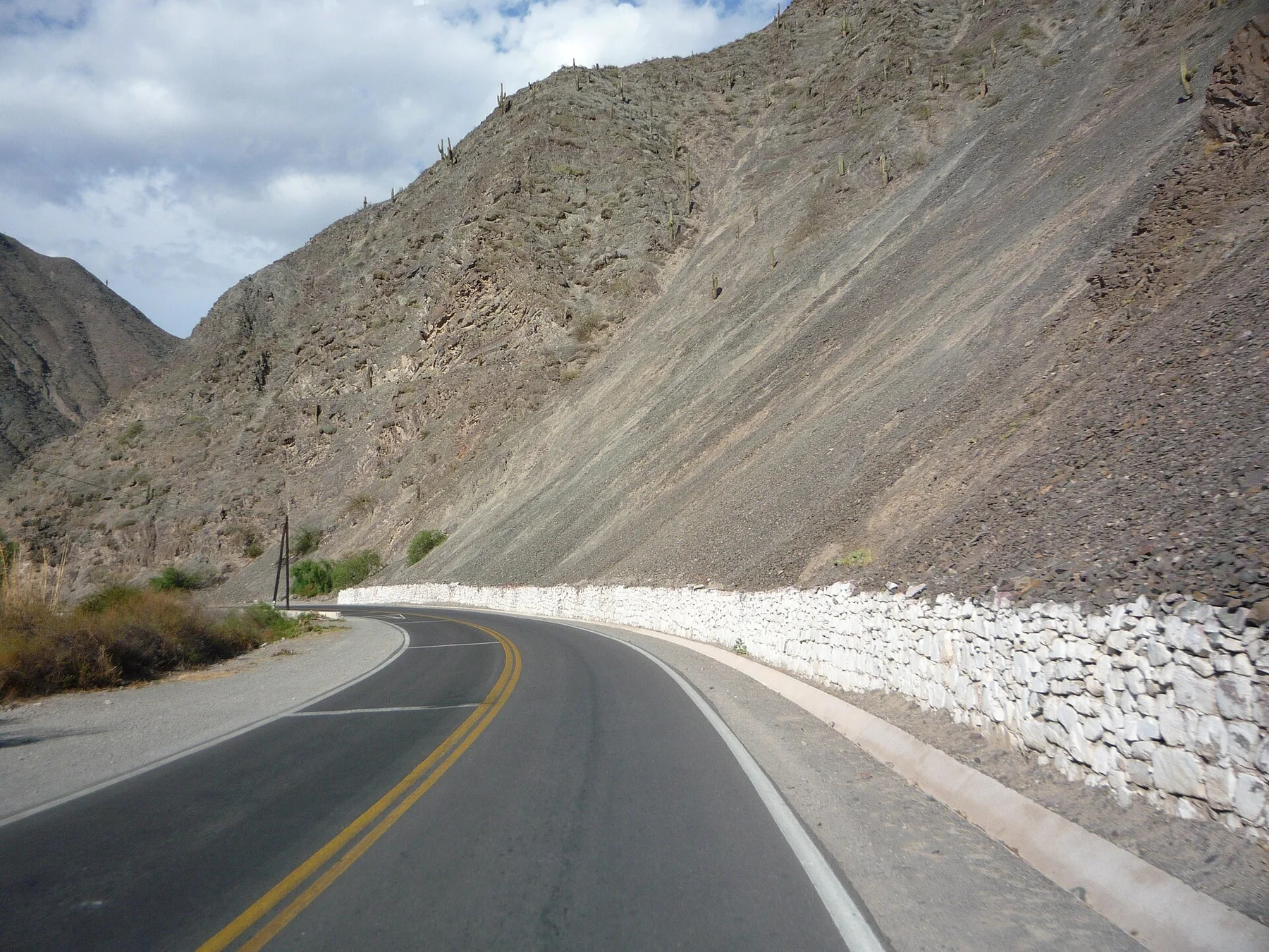
A high Andean valley of coloured strata, adobe towns and long-distance cultural routes connecting the puna with lower valleys.
Explore this place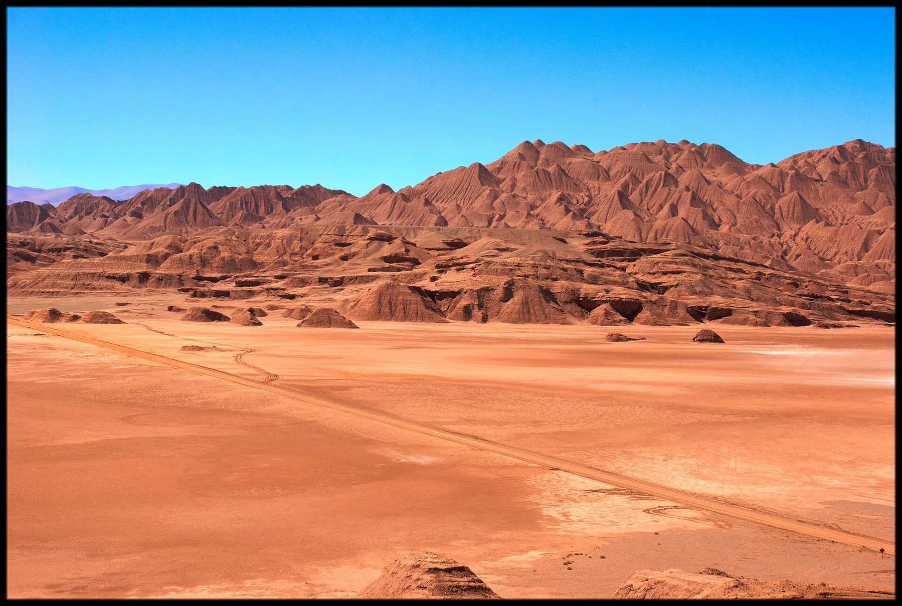
Salt flats, red desert, volcanic peaks and a small high-altitude settlement occupy one of Argentina's most remote puna landscapes.
Explore this place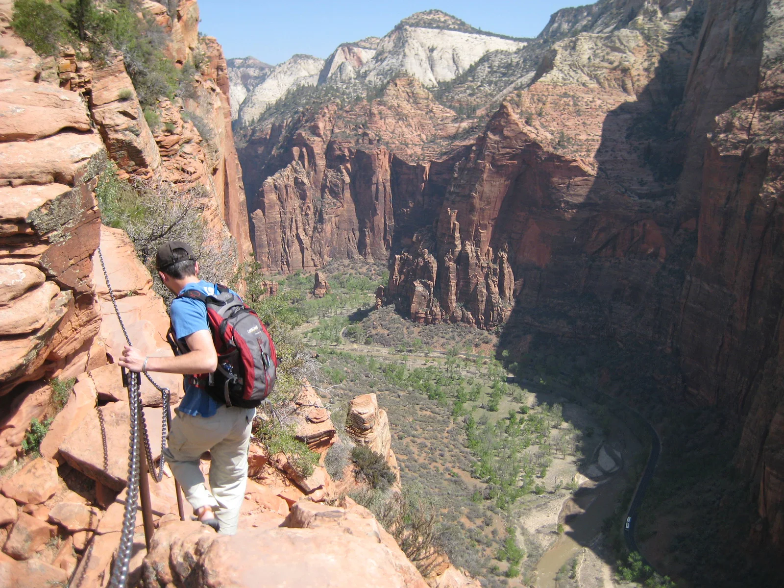
A steep trail climbs Walter’s Wiggles and an exposed chain-protected fin above Zion Canyon.
Explore this place