Cheow Lan Lake
Long reservoir arms pass between forested limestone towers.
Arrange a local guide or boat where appropriate and use the first or final hours of daylight, when water, wildlife and temperature usually make the experience strongest.
Limestone towers, tropical rainforest and the long inlets of Cheow Lan Lake create one of southern Thailand’s most dramatic inland landscapes.
Long reservoir arms pass between forested limestone towers.
Arrange a local guide or boat where appropriate and use the first or final hours of daylight, when water, wildlife and temperature usually make the experience strongest.
The details that make Khao Sok different.
Long reservoir arms pass between forested limestone towers.
Steep tropical rock formations define both the lake horizon and interior valleys.
Dense lowland forest brings a different scale and sensory character from the open water.
Limestone towers, tropical rainforest and the long inlets of Cheow Lan Lake create one of southern Thailand’s most dramatic inland landscapes. The view is only the surface of a longer story of formation, use and change.
Khao Sok occupies a humid limestone landscape between Thailand’s Andaman and Gulf coasts. The national park combines dense rainforest with steep karst formations, while nearby Cheow Lan Lake extends water deep into flooded valleys.
Many visits to Khao Sok begin with the experience described as “Cheow Lan Lake”. The more revealing question is why it exists here, how people used the surrounding ground and what remains visible from earlier phases. Long reservoir arms pass between forested limestone towers.
Continue to practical planningUnderstanding Khao Sok starts below the visible surface. Vertical limestone towers rise above forest canopy and lake inlets, producing sudden changes in scale. Streams, caves and wet-season waterfalls add another layer to a landscape already shaped by both geology and tropical vegetation.
Water is not simply scenery at Khao Sok; it organises erosion, habitat and movement. “Cheow Lan Lake” is where those roles become easiest to separate and understand. Long reservoir arms pass between forested limestone towers.
Khao Sok has been shaped as much by livelihoods and movement as by natural processes. Local communities provide boat transport, guiding and accommodation around the park and reservoir. The lake itself is artificial, created by the Ratchaprapha Dam, so the present scenery combines protected forest with a major twentieth-century water project.
The role of “Karst cliffs” is especially revealing at Khao Sok. Steep tropical rock formations define both the lake horizon and interior valleys. In the history of Khao Sok, it connects the wider regional context with a specific place that can still be examined today.
Formal protection changed how Khao Sok was described and managed. At Khao Sok, new boundaries, visitor rules and conservation priorities created a public identity that still has to coexist with settlements, customary use and economic pressures. At Khao Sok, that transition remains visible in the contrast between older working features and visitor infrastructure.
At Khao Sok, the feature “Cheow Lan Lake” is one of the most useful pieces of visible evidence. Long reservoir arms pass between forested limestone towers. Its position and condition at Khao Sok connect physical history with the way people use the place now.
Start with the feature “Karst cliffs”, because it condenses a much larger part of the story of Khao Sok. Steep tropical rock formations define both the lake horizon and interior valleys. At Khao Sok, the detail links local scale with the wider regional pattern.
Start with the feature “Rainforest trails”, because it condenses a much larger part of the story of Khao Sok. Dense lowland forest brings a different scale and sensory character from the open water. For Khao Sok, that relationship is more informative than treating the feature only as a photograph or checklist item.
At Khao Sok, season is part of the landscape history, not merely a planning detail. The drier months from December to April are generally easiest for lake travel and trails. Rain remains possible in every season, while the monsoon increases water levels, humidity and the intensity of forest conditions.
For Khao Sok, the main seasonal constraint is: the strongest planning window is Dec-Apr. For Khao Sok, outside it, check weather, daylight, road or ferry schedules and seasonal closures before committing to a fixed route.
For Khao Sok, one practical detail matters: wind, sea state and tide can matter as much as distance. For Khao Sok, check conditions before boat trips, exposed cliffs or tidal sections.
Placed within its wider geography, Khao Sok is not an isolated exception. Khao Sok sits between coastal destinations such as Khao Lak and the Gulf islands, making it a strong inland counterpoint to southern Thailand’s beach geography. For Khao Sok, the wider region also includes extensive karst landscapes beyond the park boundary.
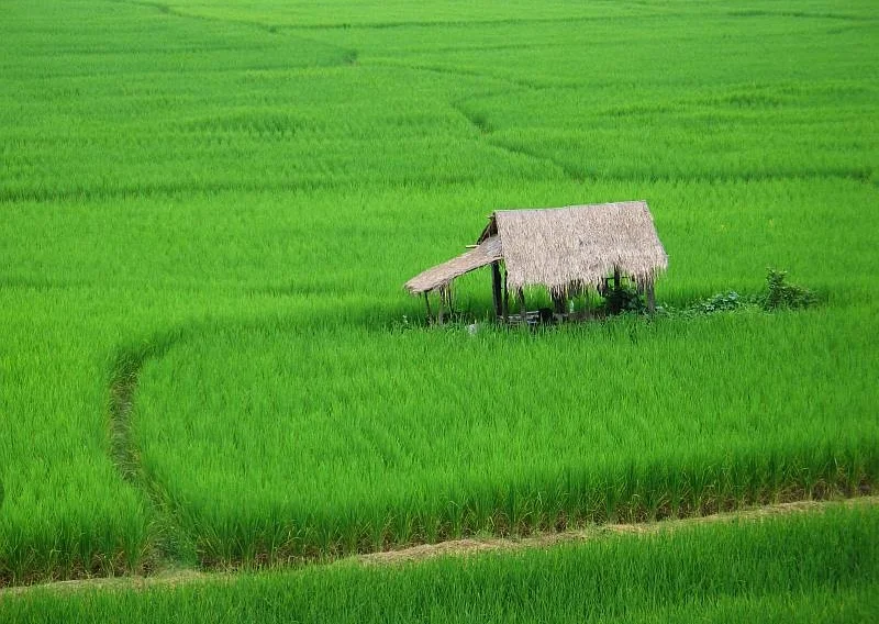
Forested mountains, river valleys, Tai Lue heritage and a compact historic town define Thailand's quieter northeastern north.
Explore this place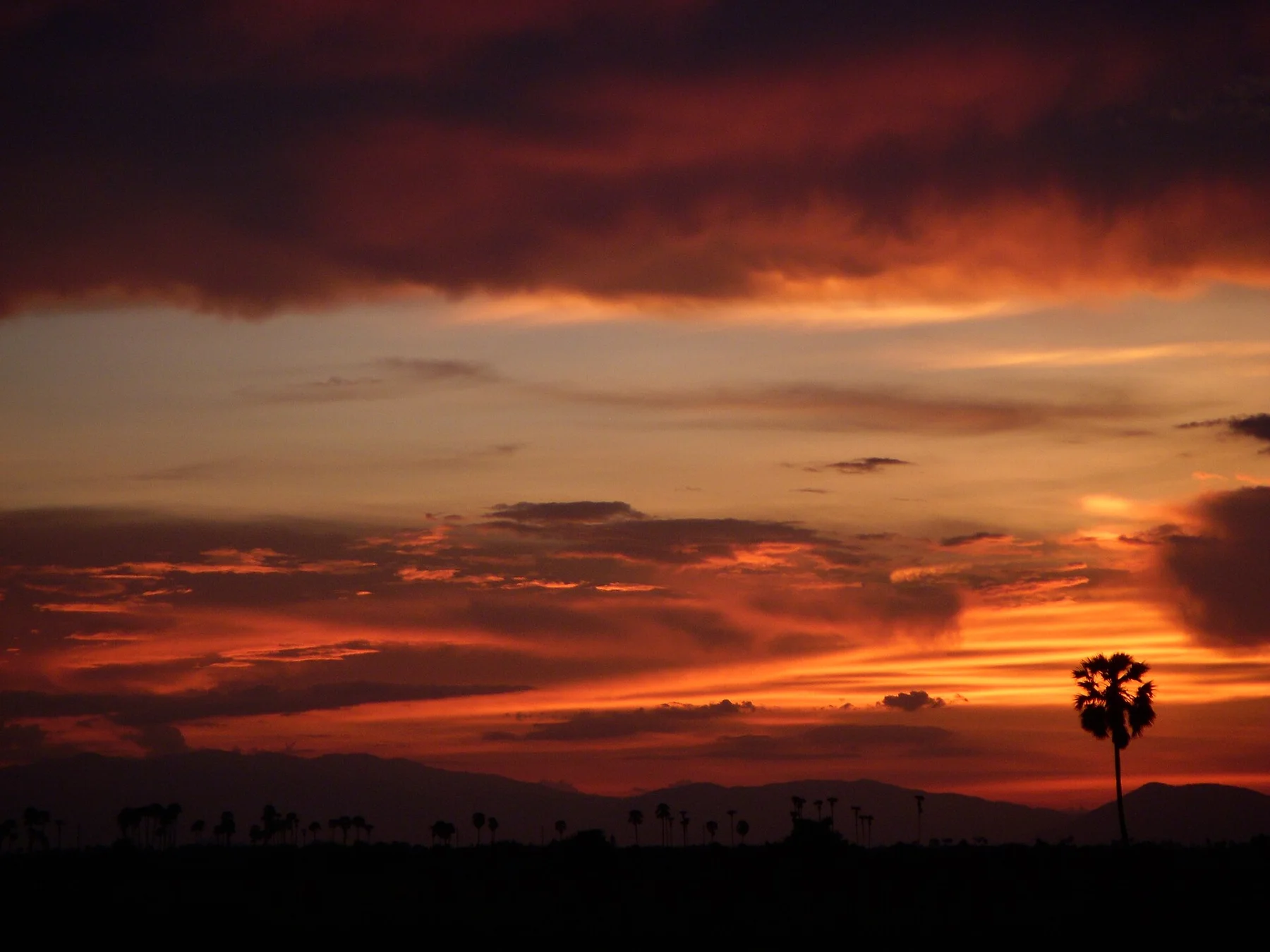
Large rainforest blocks, rivers and low mountain ranges form one of mainland Southeast Asia’s most important remaining wilderness landscapes.
Explore this place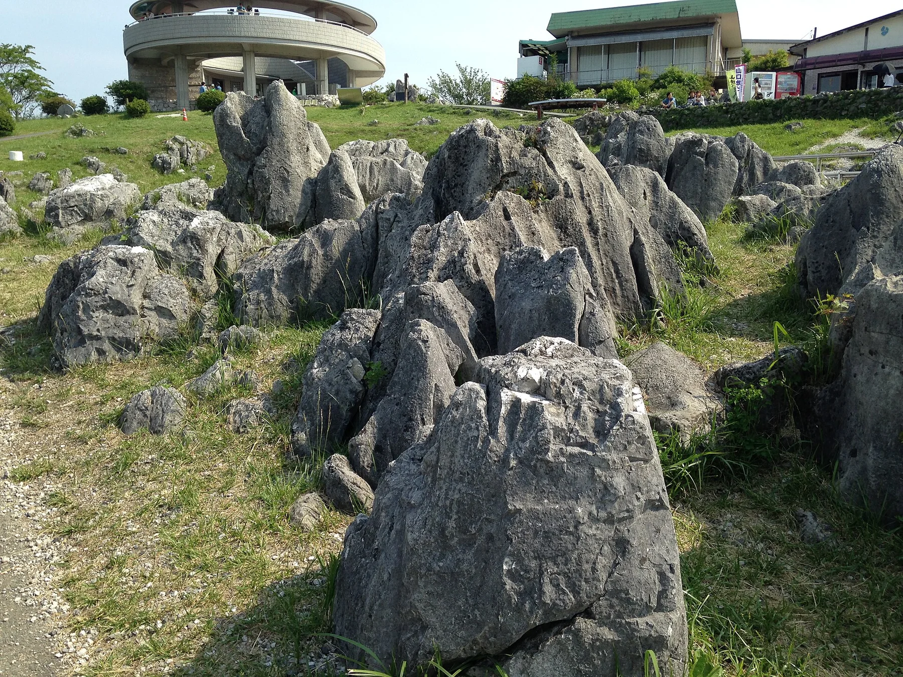
Japan's largest karst plateau combines pale limestone pinnacles, grassland, caves and a long record of human land management.
Explore this place