Tsumago
A carefully preserved post town with a long timber street set close to forested slopes.
Start early and make this the first exposed stop of the day. Keep a lower route ready if cloud, heat, wind or trail conditions change during Apr-Nov.
A forested central Japanese valley where preserved post towns and stone paths follow a former highway between mountain passes.
A carefully preserved post town with a long timber street set close to forested slopes.
Start early and make this the first exposed stop of the day. Keep a lower route ready if cloud, heat, wind or trail conditions change during Apr-Nov.
The details that make Kiso Valley different.
A carefully preserved post town with a long timber street set close to forested slopes.
Stone and woodland paths connect settlements while preserving the physical experience of crossing the valley on foot.
A larger post town extends along the old highway and shows the commercial scale of historic travel through Kiso.
A forested central Japanese valley where preserved post towns and stone paths follow a former highway between mountain passes. The deeper story links its visible features with the people and changes behind them.
The Kiso Valley runs through the mountains of central Honshu along an important section of the historic Nakasendo route. Towns such as Magome, Tsumago and Narai preserve long streets of timber buildings, while stone paths and forest connect the settlements across passes. The valley offers a rare opportunity to experience a historic corridor at walking speed.
The familiar invitation at Kiso Valley is “Tsumago”, yet that image makes more sense when it is connected to the landform, the local economy and the changes that determined access. A carefully preserved post town with a long timber street set close to forested slopes.
Continue to practical planningBefore roads, settlements or protected-area boundaries, the terrain of Kiso Valley set the basic terms. Steep wooded slopes confine the Kiso River and its tributaries, leaving narrow areas for towns, fields and transport. Cedar and cypress forest dominate the mountain routes, interrupted by streams, small shrines and open views toward higher ridges. Modern rail and roads follow the same basic north-south geography as older movement.
Relief controls far more than the view. At Kiso Valley, “Tsumago” reveals how elevation divides vegetation, weather, water and the routes available to people. A carefully preserved post town with a long timber street set close to forested slopes.
At Kiso Valley, daily life gives the terrain a historical meaning that a viewpoint alone cannot provide. Post towns developed to serve travellers, officials and freight moving between Edo and Kyoto. Restored facades, inns and shops retain this linear urban form, but residents still live and work within the settlements. Careful preservation is most convincing where everyday domestic details remain visible alongside visitor services.
At Kiso Valley, “Magome pass route” should not be treated as a decorative detail. Stone and woodland paths connect settlements while preserving the physical experience of crossing the valley on foot. The feature records how construction, movement or livelihood adapted to local conditions at Kiso Valley.
Formal protection changed how Kiso Valley was described and managed. At Kiso Valley, new boundaries, visitor rules and conservation priorities created a public identity that still has to coexist with settlements, customary use and economic pressures. At Kiso Valley, the current visitor experience is the newest layer rather than the whole history.
At Kiso Valley, the feature “Tsumago” is best understood as part of the surrounding system rather than an isolated stop. A carefully preserved post town with a long timber street set close to forested slopes. Its position and condition at Kiso Valley connect physical history with the way people use the place now.
At Kiso Valley, the feature “Magome pass route” provides a precise clue to how the landscape works. Stone and woodland paths connect settlements while preserving the physical experience of crossing the valley on foot. At Kiso Valley, the detail links local scale with the wider regional pattern.
At Kiso Valley, the feature “Narai” is one of the most useful pieces of visible evidence. A larger post town extends along the old highway and shows the commercial scale of historic travel through Kiso. Within Kiso Valley, it is both an attraction and a record of the processes described above.
At Kiso Valley, season is part of the landscape history, not merely a planning detail. Spring brings fresh forest growth and comfortable walking. Summer is humid and green, while autumn colour gives the old road its strongest seasonal contrast. Winter snow can transform the towns and reduce crowds, though some paths and services become more limited.
For Kiso Valley, the main seasonal constraint is: the strongest planning window is Apr-Nov. For Kiso Valley, outside it, check weather, daylight, road or ferry schedules and seasonal closures before committing to a fixed route.
For Kiso Valley, one practical detail matters: cloud, wind and trail conditions can change quickly. For Kiso Valley, put the highest or most exposed stop first and keep a lower-level alternative.
Placed within its wider geography, Kiso Valley is not an isolated exception. For Kiso Valley, the wider context shows that, the Kiso section is part of a much longer historical route across central Japan. For Kiso Valley, combining several post towns by rail and foot reveals differences in scale and preservation and avoids reducing the valley to the single popular walk between Magome and Tsumago.
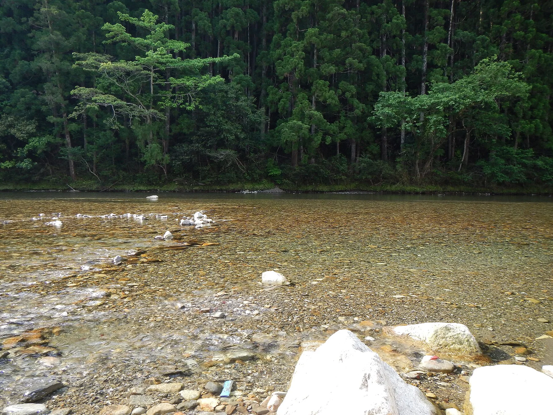
Ancient pilgrimage routes cross cedar forest, mountain villages and shrine landscapes on Japan’s deeply folded Kii Peninsula.
Explore this place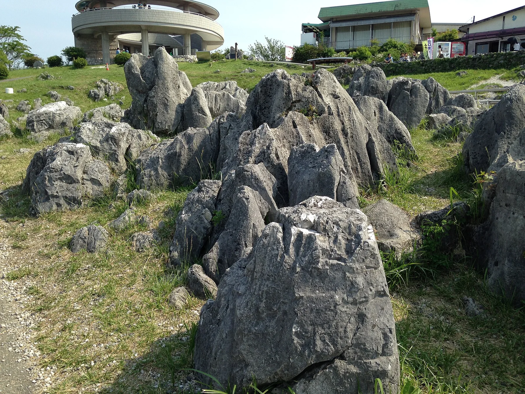
Japan's largest karst plateau combines pale limestone pinnacles, grassland, caves and a long record of human land management.
Explore this place
A high volcanic massif of alpine plateaus, hot springs and vast autumn colour rises at the centre of Hokkaido.
Explore this place