King Range
Mountains rise abruptly from the ocean and control access.
Plan the least frequent boat, ferry or exposed coastal section first. Use early or late light and keep a weather alternative during May-Oct.
Mountain ridges fall directly into the Pacific along a roadless section of northern California coast.
Mountains rise abruptly from the ocean and control access.
Plan the least frequent boat, ferry or exposed coastal section first. Use early or late light and keep a weather alternative during May-Oct.
The details that make Lost Coast different.
Mountains rise abruptly from the ocean and control access.
Dark gravel and open surf create a stark northern coastal scene.
Some routes depend on tide windows rather than conventional trails.
Mountain ridges fall directly into the Pacific along a roadless section of northern California coast. Its character becomes clearer when geology, settlement and modern protection are considered together.
Lost Coast occupies the rugged coast around the King Range. Mountain ridges fall directly into the Pacific along a roadless section of northern California coast. The Lost Coast connects redwood country with the Mendocino coast and reveals a less urbanised section of California’s Pacific margin.
The strongest visual shorthand for Lost Coast is the experience described as “King Range”. Behind it lies a more complex relationship between physical processes, settlement and the modern idea of the place as a destination. Mountains rise abruptly from the ocean and control access.
Continue to practical planningBefore roads, settlements or protected-area boundaries, the terrain of Lost Coast set the basic terms. Steep slopes, beaches, river mouths and marine terraces create a shoreline too difficult for the main coastal highway.
The visible shoreline or channel at Lost Coast is only one stage in a larger cycle. “King Range” demonstrates how flow, season and terrain interact. Mountains rise abruptly from the ocean and control access.
At Lost Coast, daily life gives the terrain a historical meaning that a viewpoint alone cannot provide. Small communities, ranching history and conservation areas remain separated by winding inland roads and long beach routes.
A close look at “Black Sands Beach” makes the cultural layer of Lost Coast more concrete. Dark gravel and open surf create a stark northern coastal scene. At Lost Coast, the surviving form links present-day identity with earlier work and settlement.
Formal protection changed how Lost Coast was described and managed. At Lost Coast, new boundaries, visitor rules and conservation priorities created a public identity that still has to coexist with settlements, customary use and economic pressures. At Lost Coast, the consequences are clearest where traditional use, protection and tourism occupy the same ground.
At Lost Coast, the feature “King Range” is best understood as part of the surrounding system rather than an isolated stop. Mountains rise abruptly from the ocean and control access. Within Lost Coast, the feature explains why this destination differs from nearby landscapes.
At Lost Coast, the feature “Black Sands Beach” is one of the most useful pieces of visible evidence. Dark gravel and open surf create a stark northern coastal scene. At Lost Coast, the detail links local scale with the wider regional pattern.
At Lost Coast, the feature “Tidal hiking corridor” provides a precise clue to how the landscape works. Some routes depend on tide windows rather than conventional trails. Within Lost Coast, the feature explains why this destination differs from nearby landscapes.
At Lost Coast, season is part of the landscape history, not merely a planning detail. Late spring through early autumn is most practical, but tides, fog, storms and wildfire conditions must be checked carefully.
For Lost Coast, the main seasonal constraint is: the strongest planning window is May-Oct. For Lost Coast, outside it, check weather, daylight, road or ferry schedules and seasonal closures before committing to a fixed route.
For Lost Coast, one practical detail matters: distances, fuel, food and mobile coverage can be less predictable than the map suggests. For Lost Coast, carry offline maps and keep a margin in the schedule.
Placed within its wider geography, Lost Coast is not an isolated exception. The Lost Coast connects redwood country with the Mendocino coast and reveals a less urbanised section of California’s Pacific margin.
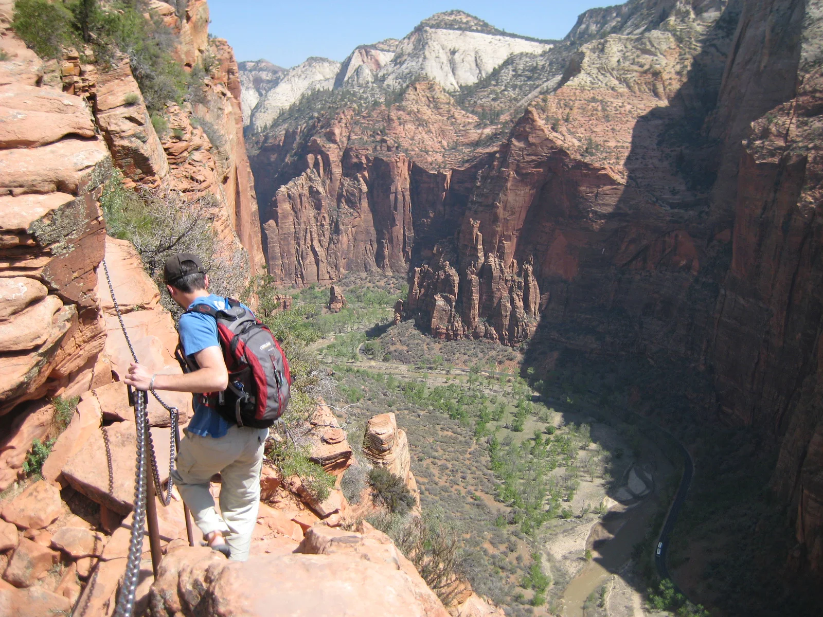
A steep trail climbs Walter’s Wiggles and an exposed chain-protected fin above Zion Canyon.
Explore this place
Sharp eroded spires and mixed-grass prairie meet in a dense fossil landscape.
Explore this place
Desert basins, volcanic mountains and the Rio Grande form a remote border landscape in far western Texas.
Explore this place