Alotau and the bay
The provincial capital sits between rainforest mountains and sheltered water.
Plan the least frequent boat, ferry or exposed coastal section first. Use early or late light and keep a weather alternative during May-Oct.
Reef-fringed islands, rainforest coasts and small communities spread across an expansive maritime province at Papua New Guinea’s eastern edge.
The provincial capital sits between rainforest mountains and sheltered water.
Plan the least frequent boat, ferry or exposed coastal section first. Use early or late light and keep a weather alternative during May-Oct.
The details that make Milne Bay different.
The provincial capital sits between rainforest mountains and sheltered water.
Marine biodiversity is a defining feature across the province’s many island groups.
Boat routes and local exchange networks shape settlement across large distances.
Reef-fringed islands, rainforest coasts and small communities spread across an expansive maritime province at Papua New Guinea’s eastern edge. The view is only the surface of a longer story of formation, use and change.
Milne Bay is both a deep mainland bay and the gateway to a province containing hundreds of islands across Papua New Guinea’s eastern seas. Travel is fundamentally maritime, with Alotau providing the main service and transport centre.
Many visits to Milne Bay begin with the experience described as “Alotau and the bay”. The more revealing question is why it exists here, how people used the surrounding ground and what remains visible from earlier phases. The provincial capital sits between rainforest mountains and sheltered water.
Continue to practical planningAt Milne Bay, the form of the landscape explains many of the choices that came later. Rainforest-covered mountains frame the mainland bay, while offshore islands range from high volcanic land to low reef systems. Coral passages and deep ocean channels create some of the region’s richest marine environments.
Routes and settlements at Milne Bay follow the water system even when the map emphasises roads. “Alotau and the bay” exposes that older logic. The provincial capital sits between rainforest mountains and sheltered water.
At Milne Bay, daily life gives the terrain a historical meaning that a viewpoint alone cannot provide. Island communities maintain strong local languages, canoe traditions and exchange networks. The area also contains important Second World War sites, adding a modern historical layer to a much older maritime cultural landscape.
The role of “Reef systems” is especially revealing at Milne Bay. Marine biodiversity is a defining feature across the province’s many island groups. In the history of Milne Bay, it connects the wider regional context with a specific place that can still be examined today.
Political change left a physical imprint on Milne Bay. At Milne Bay, borders, conflict or population movement altered settlement and access, so the quieter landscape visible today should not be mistaken for one that was always empty. At Milne Bay, that transition remains visible in the contrast between older working features and visitor infrastructure.
At Milne Bay, the feature “Alotau and the bay” provides a precise clue to how the landscape works. The provincial capital sits between rainforest mountains and sheltered water. Within Milne Bay, it is both an attraction and a record of the processes described above.
At Milne Bay, the significance of the feature “Reef systems” goes beyond its visual impact. Marine biodiversity is a defining feature across the province’s many island groups. For Milne Bay, that relationship is more informative than treating the feature only as a photograph or checklist item.
At Milne Bay, the feature “Maritime communities” is one of the most useful pieces of visible evidence. Boat routes and local exchange networks shape settlement across large distances. At Milne Bay, the detail links local scale with the wider regional pattern.
Milne Bay changes through the year because weather and biological cycles rearrange what can be seen and used. May to October is generally less humid and more comfortable for boat travel. Weather and sea state remain critical because many destinations depend on small aircraft or marine transport.
For Milne Bay, the main seasonal constraint is: the strongest planning window is May-Oct. For Milne Bay, outside it, check weather, daylight, road or ferry schedules and seasonal closures before committing to a fixed route.
For Milne Bay, one practical detail matters: ferries, tunnels and weather can change the order of the day. For Milne Bay, build the route around the least frequent connection, not the closest viewpoint.
Placed within its wider geography, Milne Bay is not an isolated exception. For Milne Bay, the wider context shows that, the province connects the Trobriand Islands, D’Entrecasteaux group and Louisiade Archipelago within one large cultural and ecological region. Milne Bay therefore works best as a gateway to a wider island world rather than a single point.

Volcanic mountains, rainforest, reefs and culturally distinct communities define a large Melanesian island east of mainland Papua New Guinea.
Explore this place
A multi-day track crosses steep rainforest ridges, rivers and villages along a major Second World War campaign route.
Explore this place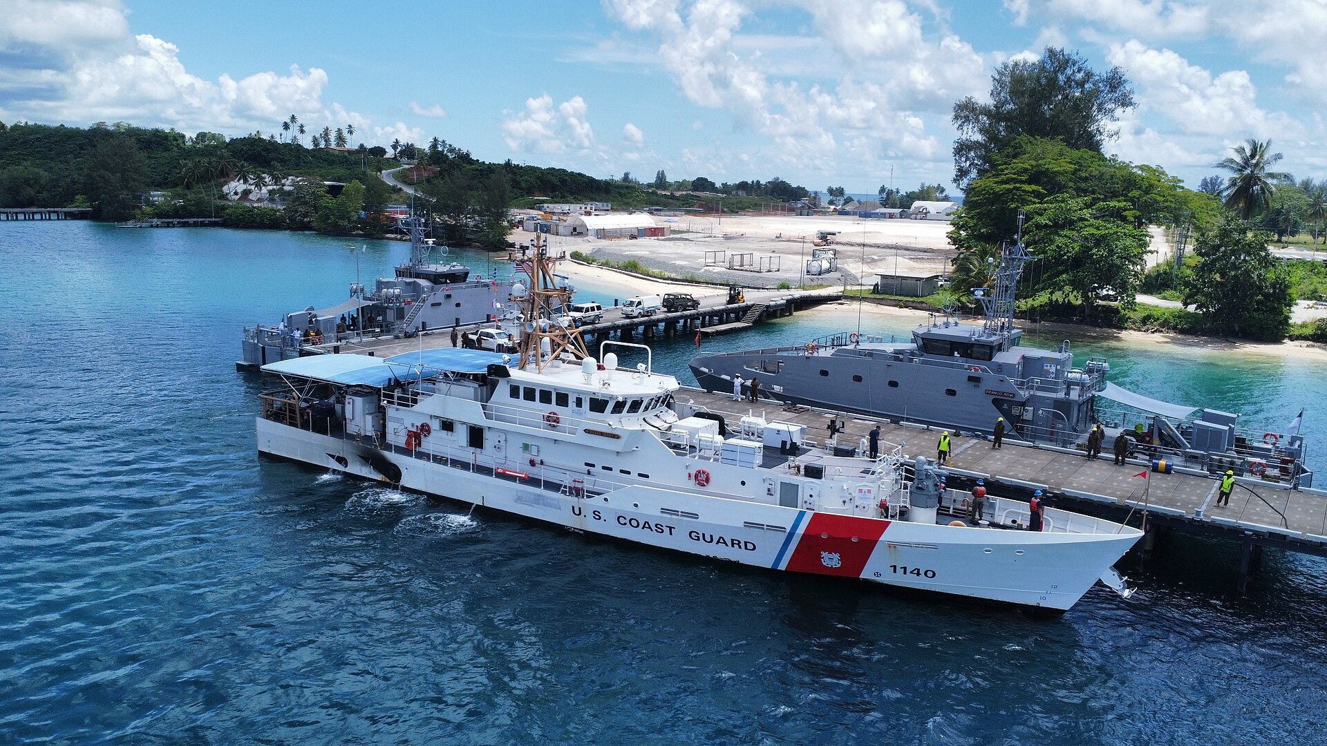
A rainforest island and reef system north of New Guinea, with rich marine life, Second World War history and communities linked by road and boat.
Explore this place