Buea ascent
The classic route begins in a humid highland city and climbs through several ecological zones.
Plan the least frequent boat, ferry or exposed coastal section first. Use early or late light and keep a weather alternative during Nov-Feb.
An active volcano rises from humid coastal forest to bare lava fields above the Gulf of Guinea.
The classic route begins in a humid highland city and climbs through several ecological zones.
Plan the least frequent boat, ferry or exposed coastal section first. Use early or late light and keep a weather alternative during Nov-Feb.
The details that make Mount Cameroon different.
The classic route begins in a humid highland city and climbs through several ecological zones.
Young volcanic surfaces make the mountain’s activity visually explicit.
The rapid elevation gain links Gulf of Guinea rainforest with high volcanic terrain.
An active volcano rises from humid coastal forest to bare lava fields above the Gulf of Guinea. Its character becomes clearer when geology, settlement and modern protection are considered together.
Mount Cameroon rises immediately inland from the Gulf of Guinea and dominates the city of Buea. Few mountains in Africa show such a rapid transition from humid lowland conditions to open volcanic high country.
Visitors often encounter Mount Cameroon through the idea of “Buea ascent”, but the destination is more than that single scene. Its landscape carries evidence of work, movement, adaptation and environmental change. The classic route begins in a humid highland city and climbs through several ecological zones.
Continue to practical planningBefore roads, settlements or protected-area boundaries, the terrain of Mount Cameroon set the basic terms. Lower slopes support dense tropical vegetation and plantation landscapes, while higher routes cross grassland, cinder and recent lava fields. The summit area is broad and exposed, with views shaped by cloud and Atlantic moisture.
The skyline is only the upper edge of a larger system. At Mount Cameroon, “Buea ascent” connects the high ground with valleys, settlement and the movement of water below. The classic route begins in a humid highland city and climbs through several ecological zones.
At Mount Cameroon, human history is written into settlement and land use rather than separated from the scenery. Buea provides the main cultural and logistical base, with a history tied to colonial administration, plantations and mountain guiding. Villages and farms occupy the lower slopes where fertile volcanic soils support intensive land use.
The role of “Recent lava landscapes” is especially revealing at Mount Cameroon. Young volcanic surfaces make the mountain’s activity visually explicit. In the history of Mount Cameroon, it connects the wider regional context with a specific place that can still be examined today.
Economic use reorganised the landscape of Mount Cameroon. At Mount Cameroon, extraction, farming or engineered infrastructure created routes and clearings that still influence settlement and the scenery interpreted as natural today. At Mount Cameroon, the result is not a clean break with the past because earlier routes and habits continue to organise the present landscape.
Look closely at the feature “Buea ascent” in Mount Cameroon; it carries information that a panoramic view can miss. The classic route begins in a humid highland city and climbs through several ecological zones. At Mount Cameroon, it gives a concrete reference point for reading change rather than merely collecting viewpoints.
Look closely at the feature “Recent lava landscapes” in Mount Cameroon; it carries information that a panoramic view can miss. Young volcanic surfaces make the mountain’s activity visually explicit. Within Mount Cameroon, the feature explains why this destination differs from nearby landscapes.
Look closely at the feature “Coast-to-summit gradient” in Mount Cameroon; it carries information that a panoramic view can miss. The rapid elevation gain links Gulf of Guinea rainforest with high volcanic terrain. Within Mount Cameroon, the feature explains why this destination differs from nearby landscapes.
A single visit to Mount Cameroon captures only one phase of its annual cycle. The drier months from November to February are generally preferred for summit routes. Rainfall on the coastal side is among the highest in Africa, and cloud can remain a defining feature even in the dry season.
For Mount Cameroon, the main seasonal constraint is: the strongest planning window is Nov-Feb. For Mount Cameroon, outside it, check weather, daylight, road or ferry schedules and seasonal closures before committing to a fixed route.
For Mount Cameroon, one practical detail matters: cloud, wind and trail conditions can change quickly. For Mount Cameroon, put the highest or most exposed stop first and keep a lower-level alternative.
Placed within its wider geography, Mount Cameroon is not an isolated exception. For Mount Cameroon, the wider context shows that, the mountain is part of a volcanic line extending through western Cameroon and into the Gulf of Guinea islands. For Mount Cameroon, nearby Limbe, coastal lava flows and montane forests show the system beyond the summit route.
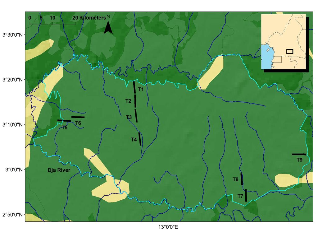
A near-complete loop of the Dja River encloses a large block of Congo Basin rainforest.
Explore this place
Old lowland rainforest, large rivers and exceptionally high plant diversity survive near the Nigerian border.
Explore this place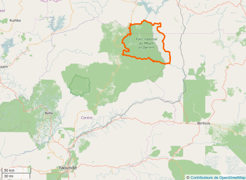
A broad transition zone joins northern savanna to southern rainforest around the headwaters of the Sanaga system.
Explore this place