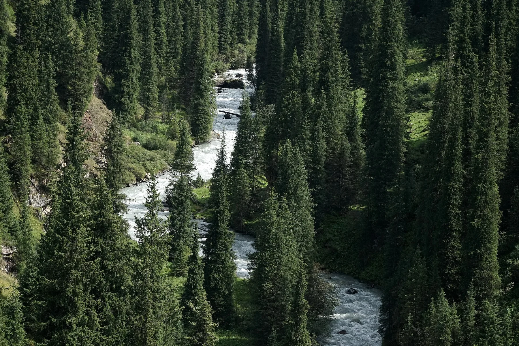
Road across the roof of Asia

Pamir Highway

A high trans-Pamir road crosses plateaus, river valleys and remote settlements beneath some of Central Asia's largest mountain systems.

High plateausWakhan ValleyMountain communities

Location
Gorno-Badakhshan, Tajikistan
Best window
Jun-Sep
Suggested stay
3-5 days
Go for
High-altitude road journey
The reason to go

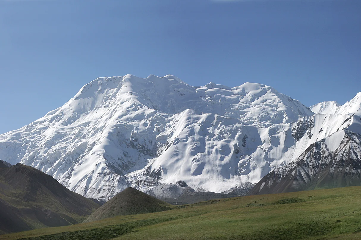
Ak-Baital Pass

One of the road's highest points opens across sparse plateau terrain and distant glaciated ranges.

Start early and make this the first exposed stop of the day. Keep a lower route ready if cloud, heat, wind or trail conditions change during Jun-Sep.

Look a little closer

Worth discovering

The details that make Pamir Highway different.

Photo journal
01

Ak-Baital Pass

One of the road's highest points opens across sparse plateau terrain and distant glaciated ranges.

Destination view
02

Wakhan Corridor

Villages, fields and historic sites line the Panj River opposite mountains in Afghanistan.

Photo journal
03

Karakul Lake

A large high-altitude lake occupies an impact basin in a severe landscape of wind and bare rock.

Photo journal

A closer look at Pamir Highway

15 photographs
Deep background

Reading the layers of Pamir Highway

A high trans-Pamir road crosses plateaus, river valleys and remote settlements beneath some of Central Asia's largest mountain systems. This account follows the forces, communities and decisions that made the present landscape.

The Pamir Highway is less a single road than a long corridor through eastern Tajikistan. It follows broad plateaus, river valleys and mountain passes where settlements are separated by great distances. Elevation, weather and limited services make the journey physically demanding even when the road appears open and empty.

Visitors often encounter Pamir Highway through the idea of “Ak-Baital Pass”, but the destination is more than that single scene. Its landscape carries evidence of work, movement, adaptation and environmental change. One of the road's highest points opens across sparse plateau terrain and distant glaciated ranges.

Continue to practical planning
From Langar to Murghab (29289400017)See the complete photo journal
Physical setting

From underlying structure to visible landscape

At Pamir Highway, the physical story begins with the structure of the ground. The Pamirs form a junction between major Asian mountain systems. Bare slopes, salt lakes and wide gravel plains dominate the eastern plateau, while the Wakhan corridor is narrower and more cultivated. Snow peaks rise beyond national borders, giving the landscape a scale that cannot be contained by one country.

Altitude turns distance into effort and creates abrupt ecological boundaries. At Pamir Highway, “Ak-Baital Pass” provides a useful reference point for understanding that vertical structure. One of the road's highest points opens across sparse plateau terrain and distant glaciated ranges.

Lives and livelihoods

Settlement, movement and local knowledge

At Pamir Highway, daily life gives the terrain a historical meaning that a viewpoint alone cannot provide. Pamiri communities maintain distinct languages, architecture and agricultural practices adapted to short growing seasons. Villages depend on irrigated plots, livestock and strong local networks. Historical routes connected the region with Afghanistan, China and the wider Silk Road world long before modern borders formalized movement.

The role of “Wakhan Corridor” is especially revealing at Pamir Highway. Villages, fields and historic sites line the Panj River opposite mountains in Afghanistan. In the history of Pamir Highway, it connects the wider regional context with a specific place that can still be examined today.

Turning point

What altered the old balance

The decisive modern change at Pamir Highway was access. At Pamir Highway, transport and visitor infrastructure made the landscape easier to reach while concentrating pressure at the few points where roads, boats or trails enter it. At Pamir Highway, that transition remains visible in the contrast between older working features and visitor infrastructure.

Details to read

Three details that explain the whole place

At Pamir Highway, the feature “Ak-Baital Pass” provides a precise clue to how the landscape works. One of the road's highest points opens across sparse plateau terrain and distant glaciated ranges. For Pamir Highway, that relationship is more informative than treating the feature only as a photograph or checklist item.

At Pamir Highway, the feature “Wakhan Corridor” is one of the most useful pieces of visible evidence. Villages, fields and historic sites line the Panj River opposite mountains in Afghanistan. At Pamir Highway, the detail links local scale with the wider regional pattern.

Start with the feature “Karakul Lake”, because it condenses a much larger part of the story of Pamir Highway. A large high-altitude lake occupies an impact basin in a severe landscape of wind and bare rock. Within Pamir Highway, it is both an attraction and a record of the processes described above.

Living landscape

Why the landscape still feels dynamic

Pamir Highway changes through the year because weather and biological cycles rearrange what can be seen and used. The main travel window is short. Snow can close high passes outside summer, while landslides and river damage may affect lower sections. Even in July and August, nights at altitude are cold and strong sun creates rapid daily temperature changes.

For Pamir Highway, the main seasonal constraint is: the strongest planning window is Jun-Sep. For Pamir Highway, outside it, check weather, daylight, road or ferry schedules and seasonal closures before committing to a fixed route.

For Pamir Highway, one practical detail matters: distances, fuel, food and mobile coverage can be less predictable than the map suggests. For Pamir Highway, carry offline maps and keep a margin in the schedule.

Placed within its wider geography, Pamir Highway is not an isolated exception. For Pamir Highway, the wider context shows that, the road's appeal comes from continuity rather than isolated attractions. For Pamir Highway, river valleys, homestays, ruins, high lakes and border landscapes build meaning across several days. For Pamir Highway, responsible travel requires attention to altitude, road conditions and the limited resources of small communities.
Travel notes

Plan your visit

Time needed
3-5 days
Getting around
Car to access points, then walking or hiking
Effort
Moderate to demanding
Plan first
Main transport and accommodation
Time of day
Start early for clearer conditions and more time
Best window
Jun-Sep
Traveller stories

Stories from people who have been here.

First-hand moments, practical notes and overlooked details from Pamir Highway.

Loading traveller stories…

Browse all traveller stories ↗

Keep exploring

Where next?

All place stories