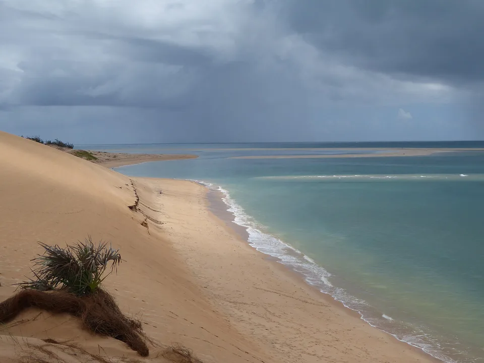
Cross the lagoon to Ile aux Cocos, then walk a limestone cave
The combination of seabird islet, broad shallow water and inland karst makes the island feel much larger than its road map.
Plan the least frequent boat or flight first, then use the remaining time for the signature route rather than trying to collect every viewpoint.
Look a little closer
Worth discovering
The details that make Rodrigues different.
Photo journal
01
Ile aux Cocos
A protected sand islet supports nesting seabirds.
Photo journal
02
Francois Leguat Reserve
Giant tortoises and limestone caves occupy a restored valley.
Destination view
03
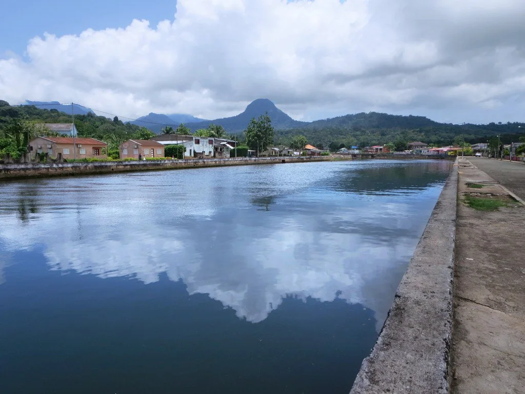
Port Mathurin market
The compact capital reflects local food and island rhythm.
Photo journal
A closer look at Rodrigues
5 photographs
01Rodrigues CalcareniteQuarry02Rodrigues CavernePatatesEntrance03Rodrigues West04Île aux Cocos, Rodrigues05Rodrigues-François-Leguat-Reserve-by-Kevin-Gepford
Landscape and history
The making of Rodrigues
A small high island is surrounded by an oversized lagoon and preserves a distinct Creole culture. Its character becomes clearer when geology, settlement and modern protection are considered together.
4 min readMascarene Islands, Mauritius
Rodrigues is centred on Mascarene Islands, where a small high island is surrounded by an oversized lagoon and preserves a distinct Creole culture. The strongest reason to make the journey is to cross the lagoon to ile aux cocos, then walk a limestone cave.
Many visits to Rodrigues begin with the experience described as “Cross the lagoon to Ile aux Cocos, then walk a limestone cave”. The more revealing question is why it exists here, how people used the surrounding ground and what remains visible from earlier phases. The combination of seabird islet, broad shallow water and inland karst makes the island feel much larger than its road map.
The map understates the role of the sea. At Rodrigues, “Ile aux Cocos” makes clear that water is both a boundary and the route through which settlements, wildlife and outside connections developed. A protected sand islet supports nesting seabirds.
Rodrigues is not a uniform area. Changes in elevation, exposure, water and substrate produce distinct environments over short distances, which is why a route through the place often reveals more than a fixed viewpoint.
02
Settlement and memory
Lives shaped by the terrain
Rodrigues was known to early Indian Ocean navigators and was named after Portuguese pilot Diogo Rodrigues in the sixteenth century. French settlers established a lasting community in the eighteenth century, developing livestock and agriculture on an island where giant tortoises and the flightless Rodrigues solitaire were soon driven to extinction.
Enslaved Africans and Malagasy people, European settlers and later Indian Ocean migrants shaped the island's Creole language and culture. Britain took Mauritius and Rodrigues during the Napoleonic Wars, but Rodrigues remained socially and geographically distinct from the main island. Port Mathurin grew as its administrative and trading centre.
03
Change
How access and attention changed the place
The Francois Leguat reserve and other restoration projects have reintroduced giant tortoises as ecological replacements and protected caves and native vegetation. They do not recreate the lost island, but they make the consequences of early exploitation visible within a living conservation landscape.
04
Field notes
Where the story becomes visible
At Rodrigues, the significance of the feature “Ile aux Cocos” goes beyond its visual impact. A protected sand islet supports nesting seabirds. At Rodrigues, the detail links local scale with the wider regional pattern.
Start with the feature “Francois Leguat Reserve”, because it condenses a much larger part of the story of Rodrigues. Giant tortoises and limestone caves occupy a restored valley. For Rodrigues, that relationship is more informative than treating the feature only as a photograph or checklist item.
Look closely at the feature “Port Mathurin market” in Rodrigues; it carries information that a panoramic view can miss. The compact capital reflects local food and island rhythm. Its position and condition at Rodrigues connect physical history with the way people use the place now.
05
Living landscape
Season, scale and the present day
Rodrigues changes through the year because weather and biological cycles rearrange what can be seen and used. For Rodrigues, the most reliable visiting window is May-Nov.
For Rodrigues, the stated visiting window is May-Nov, but its practical meaning depends on local weather, water and transport rather than the calendar alone.
Placed within its wider geography, Rodrigues is not an isolated exception. Beyond the best-known image of Rodrigues feature, Rodrigues matters because francois leguat reserve and port mathurin market place the destination inside a broader regional story.
Chronology
Key dates
Rodrigues enters European charts
Portuguese navigation named the island on the routes across the western Indian Ocean.
Permanent settlement expands
French colonial agriculture and hunting rapidly altered native ecosystems and established a Creole population.
Ecological restoration
Tortoise reintroduction and habitat work turned former grazing and limestone areas into conservation sites.
Travel notes
Plan your visit
Time needed
3-5 days
Getting around
Local transport, walking and boat or ferry connections
Effort
Easy to moderate
Plan first
Main flight or ferry, accommodation and weather backup
Time of day
Morning movement; late light for coast
Best window
May-Nov
Traveller stories
Stories from people who have been here.
First-hand moments, practical notes and overlooked details from Rodrigues.