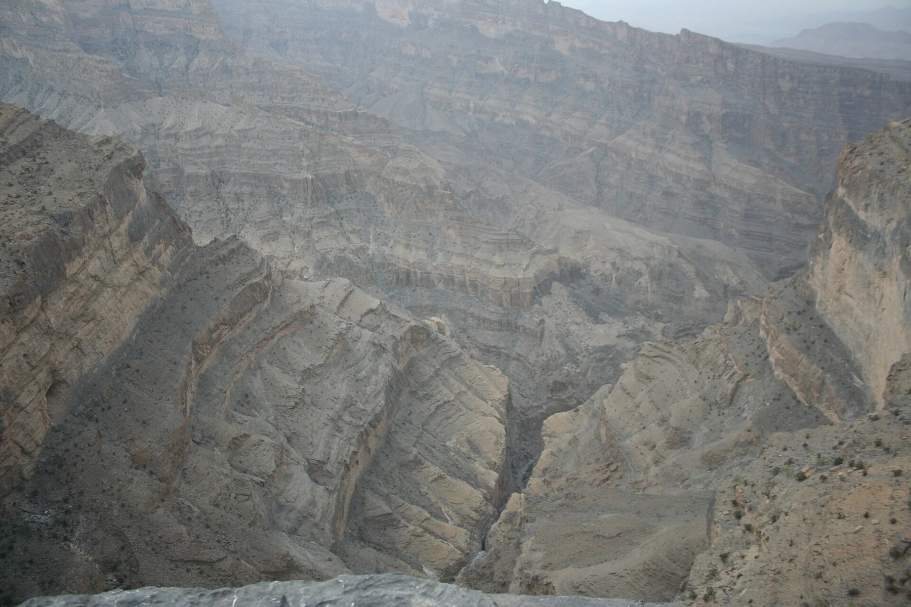
The easy entrance walkway ends where visitors step into icy water and continue between close, high walls over a rough riverbed.
Decide how far to continue based on water level and footing; the canyon beyond the boardwalk is the real experience.
Look a little closer
Worth discovering
The details that make Saklikent Gorge different.
Destination view
01
Entrance boardwalk
A suspended walkway follows the cliff above the first section of water.
Photo journal
02
Spring crossing
Cold water emerges strongly where the wading route begins.
Photo journal
03
Narrow canyon walls
The gorge closes into a shaded corridor with very little direct sun.
Photo journal
A closer look at Saklikent Gorge
8 photographs
01Crossing the river (Saklıkent) - panoramio02Saklikent Gorge — view 203Angel in the gorge Saklikent - panoramio04In the canyon (Saklıkent) - panoramio05Crossing the river (Saklıkent) - panoramio06Angel in the gorge Saklikent - panoramio07Saklikent Gorge tree house - panoramio08SAKLIKENT-TURKEY - panoramio
The full story
A deeper history of Saklikent Gorge
A seasonal route enters a very narrow limestone canyon by boardwalk and continues through cold flowing water. Its character becomes clearer when geology, settlement and modern protection are considered together.
4 min readMugla–Antalya border, Turkey
Saklikent Gorge is centred on Mugla–Antalya border, where a seasonal route enters a very narrow limestone canyon by boardwalk and continues through cold flowing water. The strongest reason to make the journey is to wade beyond the boardwalk into Saklikent.
The strongest visual shorthand for Saklikent Gorge is the experience described as “Wade beyond the boardwalk into Saklikent”. Behind it lies a more complex relationship between physical processes, settlement and the modern idea of the place as a destination. The easy entrance walkway ends where visitors step into icy water and continue between close, high walls over a rough riverbed.
At Saklikent Gorge, the form of the landscape explains many of the choices that came later. Changes in height, rock, water and exposure make the sequence important: the approach, the most engineered or natural passage and the final overlook each reveal a different part of Mugla–Antalya border.
A route records decisions about gradient, exposure and access. At Saklikent Gorge, “Entrance boardwalk” shows why this line was chosen and what kind of movement it was designed to permit. A suspended walkway follows the cliff above the first section of water.
02
Cultural landscape
The human landscape behind the scenery
Saklikent was known locally as a water-cut passage below the Akdag mountains before it became a developed visitor attraction. Snowmelt and springs made the gorge useful and dangerous in equal measure, while nearby communities farmed the lower valley.
Walkways, restaurants and controlled entry were added as tourism expanded from the Turkish coast into the interior. The modern route reaches only the accessible lower section; seasonal floods continue to determine how far anyone can proceed.
03
Change
A landscape reorganised
Commercial development made the gorge easy to reach but also changed its entrance into a busy service zone, creating a sharp contrast between the engineered first section and the unstable river corridor beyond.
04
Field notes
The evidence still visible on the ground
Start with the feature “Entrance boardwalk”, because it condenses a much larger part of the story of Saklikent Gorge. A suspended walkway follows the cliff above the first section of water. Within Saklikent Gorge, the feature explains why this destination differs from nearby landscapes.
Look closely at the feature “Spring crossing” in Saklikent Gorge; it carries information that a panoramic view can miss. Cold water emerges strongly where the wading route begins. Within Saklikent Gorge, it is both an attraction and a record of the processes described above.
At Saklikent Gorge, the feature “Narrow canyon walls” is one of the most useful pieces of visible evidence. The gorge closes into a shaded corridor with very little direct sun. At Saklikent Gorge, the detail links local scale with the wider regional pattern.
05
Living landscape
Season, scale and the present day
A single visit to Saklikent Gorge captures only one phase of its annual cycle. For Saklikent Gorge, the most reliable visiting window is May-Oct.
For Saklikent Gorge, one practical detail matters: water depth and current vary. For Saklikent Gorge, use suitable footwear and follow closure or turnaround instructions.
For Saklikent Gorge, the most useful visiting period is: morning before tour groups.
Placed within its wider geography, Saklikent Gorge is not an isolated exception. Beyond the best-known image of Saklikent Gorge crossing, Saklikent Gorge is useful because spring crossing and narrow canyon walls place the route inside a broader landscape story.
Chronology
Key dates
A seasonal mountain-water corridor
Communities around the lower valley knew the gorge through springs, floods and access to upland terrain.
Tourist access developed
Platforms and businesses transformed the entrance into a major excursion stop.
Water still sets the limit
Opening and route length depend on flow, temperature and flash-flood risk.
Travel notes
Plan your visit
Time needed
2-4 hours
Getting around
Paid entry, boardwalk and optional wading
Effort
Moderate; cold water and uneven footing
Plan first
Water level, footwear and dry storage
Time of day
Morning before tour groups
Best window
May-Oct
Traveller stories
Stories from people who have been here.
First-hand moments, practical notes and overlooked details from Saklikent Gorge.