In favourable conditions, whales enter shallow bays close to the shore, creating one of the rarest large-animal encounters in the Russian Far East.
Build the trip around access permissions, sea or ice conditions and the short Jul-Sep operating window; leave at least one reserve day.
Look a little closer
Worth discovering
The details that make Shantar Islands different.
Destination view
01
Wrangel Bay
A sheltered bay is known for close whale activity in summer.
Destination view
02
Tidal straits
Strong currents compress marine life into narrow channels.
Destination view
03
Taiga islands
Dense forest reaches almost to the cold sea.
Photo journal
A closer look at Shantar Islands
3 photographs
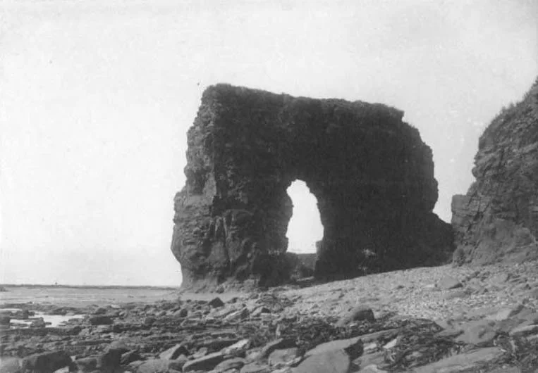
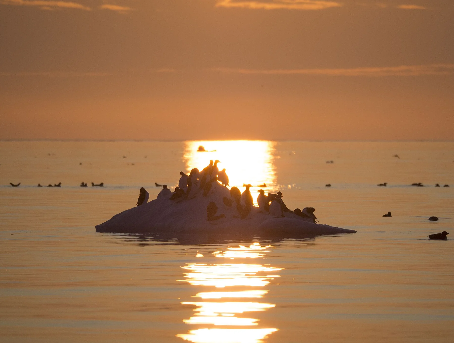
01Bowhead whales swimming in Lingolm strait by Vladislav Raevskii02A bowhead whale is tail-slapping in the coastal waters of western Sea of Okhotsk by Olga Shpak, Marine Mammal Council, IEE RAS03Shantar Islands — view 3
Deep background
What made Shantar Islands distinctive
A remote archipelago of forested islands, tidal straits and cold-water wildlife in the western Sea of Okhotsk. Its character becomes clearer when geology, settlement and modern protection are considered together.
4 min readSea of Okhotsk, Russia
Shantar Islands is centred on Sea of Okhotsk, where a remote archipelago of forested islands, tidal straits and cold-water wildlife in the western Sea of Okhotsk. The strongest reason to make the journey is to watch bowhead whales in a narrow tidal bay.
Visitors often encounter Shantar Islands through the idea of “Watch bowhead whales in a narrow tidal bay”, but the destination is more than that single scene. Its landscape carries evidence of work, movement, adaptation and environmental change. In favourable conditions, whales enter shallow bays close to the shore, creating one of the rarest large-animal encounters in the Russian Far East.
Before roads, settlements or protected-area boundaries, the terrain of Shantar Islands set the basic terms. Sea ice, tundra, exposed coasts and rapidly changing weather control both the scenery and access. Distances that look short on a map can require specialised boats, aircraft or expedition support.
Because land is limited, every ridge, bay and passage acquires practical importance. At Shantar Islands, “Wrangel Bay” is where that compressed geography becomes easiest to read. A sheltered bay is known for close whale activity in summer.
02
Lives and livelihoods
Lives shaped by the terrain
The Shantar archipelago sits where tides, sea ice and cold currents concentrate marine life in the Sea of Okhotsk. Indigenous Evenki and coastal peoples used the wider region for fishing, hunting and movement long before Russian mapping and commercial exploitation.
From the nineteenth century, whalers and traders entered these waters, and Soviet-era industry reached nearby mainland coasts. The islands themselves remained sparsely occupied, preserving rookeries and feeding grounds that are now their defining value.
03
Turning point
What altered the old balance
Creation of Shantar Islands National Park in 2013 brought formal protection to the archipelago and its surrounding waters, where bowhead whales can feed unusually close to shore but shipping and resource development remain regional pressures.
04
On the ground
Landmarks that carry the deeper story
At Shantar Islands, the feature “Wrangel Bay” provides a precise clue to how the landscape works. A sheltered bay is known for close whale activity in summer. Its position and condition at Shantar Islands connect physical history with the way people use the place now.
At Shantar Islands, the feature “Tidal straits” is one of the most useful pieces of visible evidence. Strong currents compress marine life into narrow channels. Its position and condition at Shantar Islands connect physical history with the way people use the place now.
Look closely at the feature “Taiga islands” in Shantar Islands; it carries information that a panoramic view can miss. Dense forest reaches almost to the cold sea. Its position and condition at Shantar Islands connect physical history with the way people use the place now.
05
Living landscape
What continues to change
A single visit to Shantar Islands captures only one phase of its annual cycle. For Shantar Islands, the most reliable visiting window is Jul-Sep.
For Shantar Islands, the stated visiting window is Jul-Sep, but its practical meaning depends on local weather, water and transport rather than the calendar alone.
Placed within its wider geography, Shantar Islands is not an isolated exception. Beyond the best-known image of Shantar Islands feature, Shantar Islands matters because tidal straits and taiga islands place the destination inside a broader regional story.
Chronology
Key dates
Seasonal use of a difficult sea
Coastal communities navigated, fished and hunted around islands shaped by ice and extreme tides.
Commercial whaling reaches the Okhotsk Sea
Foreign and Russian vessels exploited rich whale populations.
National park established
The islands and marine habitats received federal protection.
Travel notes
Plan your visit
Time needed
4-7 days
Getting around
Expedition vessel, charter aircraft or authorised local operator
Effort
Demanding / expedition access
Plan first
Permits, operator, weather margin and evacuation conditions
Time of day
Use every safe weather window
Best window
Jul-Sep
Traveller stories
Stories from people who have been here.
First-hand moments, practical notes and overlooked details from Shantar Islands.