Cloud-forest gradients
Moist eastern slopes transition rapidly into drier interior landscapes.
Start early and make this the first exposed stop of the day. Keep a lower route ready if cloud, heat, wind or trail conditions change during Nov-Apr.
Cloud forest, semi-desert, deep canyons and mission towns meet within a steep biosphere reserve in central Mexico.
Moist eastern slopes transition rapidly into drier interior landscapes.
Start early and make this the first exposed stop of the day. Keep a lower route ready if cloud, heat, wind or trail conditions change during Nov-Apr.
The details that make Sierra Gorda different.
Moist eastern slopes transition rapidly into drier interior landscapes.
Historic churches link communities across valleys shaped by Indigenous and colonial histories.
Local initiatives connect forest protection with livelihoods and tourism.
Cloud forest, semi-desert, deep canyons and mission towns meet within a steep biosphere reserve in central Mexico. The view is only the surface of a longer story of formation, use and change.
The Sierra Gorda rises in northern Queretaro as a rugged meeting point of the Sierra Madre Oriental and central Mexican highlands. Elevation, slope and rainfall create a striking mosaic of dry scrub, pine-oak forest, cloud forest and river canyon. Communities and historic missions are distributed throughout this ecological complexity.
Many visits to Sierra Gorda begin with the experience described as “Cloud-forest gradients”. The more revealing question is why it exists here, how people used the surrounding ground and what remains visible from earlier phases. Moist eastern slopes transition rapidly into drier interior landscapes.
Continue to practical planningThe first layer of Sierra Gorda is geological and ecological rather than scenic. Deep valleys cut between limestone ridges and forested peaks. The eastern side receives humid air from the Gulf of Mexico, while western slopes are much drier, producing rapid environmental change over short distances. Rivers, caves and waterfalls add further variation to a biosphere reserve recognised for exceptional biodiversity.
Routes and settlements at Sierra Gorda follow the water system even when the map emphasises roads. “Cloud-forest gradients” exposes that older logic. Moist eastern slopes transition rapidly into drier interior landscapes.
At Sierra Gorda, daily life gives the terrain a historical meaning that a viewpoint alone cannot provide. Pame communities, rural settlements and five eighteenth-century Franciscan missions form important cultural layers. Farming, forestry and migration influence village life, while community conservation projects have created local income tied to ecosystem protection. The region's heritage cannot be separated from the roads and valleys that connect isolated settlements.
At Sierra Gorda, the feature described as “Mission route” offers a second line of evidence. Historic churches link communities across valleys shaped by Indigenous and colonial histories. Within Sierra Gorda, it shows how local knowledge and practical use became embedded in the landscape.
Formal protection changed how Sierra Gorda was described and managed. At Sierra Gorda, new boundaries, visitor rules and conservation priorities created a public identity that still has to coexist with settlements, customary use and economic pressures. At Sierra Gorda, the current visitor experience is the newest layer rather than the whole history.
At Sierra Gorda, the feature “Cloud-forest gradients” is one of the most useful pieces of visible evidence. Moist eastern slopes transition rapidly into drier interior landscapes. Its position and condition at Sierra Gorda connect physical history with the way people use the place now.
Look closely at the feature “Mission route” in Sierra Gorda; it carries information that a panoramic view can miss. Historic churches link communities across valleys shaped by Indigenous and colonial histories. For Sierra Gorda, that relationship is more informative than treating the feature only as a photograph or checklist item.
At Sierra Gorda, the significance of the feature “Community conservation” goes beyond its visual impact. Local initiatives connect forest protection with livelihoods and tourism. At Sierra Gorda, it gives a concrete reference point for reading change rather than merely collecting viewpoints.
A single visit to Sierra Gorda captures only one phase of its annual cycle. The dry season from November to April generally provides easier travel and clearer conditions. Higher forest remains cool, while lower valleys can be warm. Summer rain revives waterfalls and cloud forest but also increases landslide and road risks on steep routes.
For Sierra Gorda, the main seasonal constraint is: the strongest planning window is Nov-Apr. For Sierra Gorda, outside it, check weather, daylight, road or ferry schedules and seasonal closures before committing to a fixed route.
For Sierra Gorda, one practical detail matters: distances, fuel, food and mobile coverage can be less predictable than the map suggests. For Sierra Gorda, carry offline maps and keep a margin in the schedule.
Placed within its wider geography, Sierra Gorda is not an isolated exception. Sierra Gorda connects central Mexico with the Huasteca and Gulf-facing mountains. For Sierra Gorda, its ecological gradients make it a strong counterpoint to destinations defined by one climate, showing how cultural and biological diversity often concentrate where environmental zones overlap.

Tropical forest, cloud forest, oak woodland and dry scrub meet across a steep ecological gradient in northeastern Mexico.
Explore this place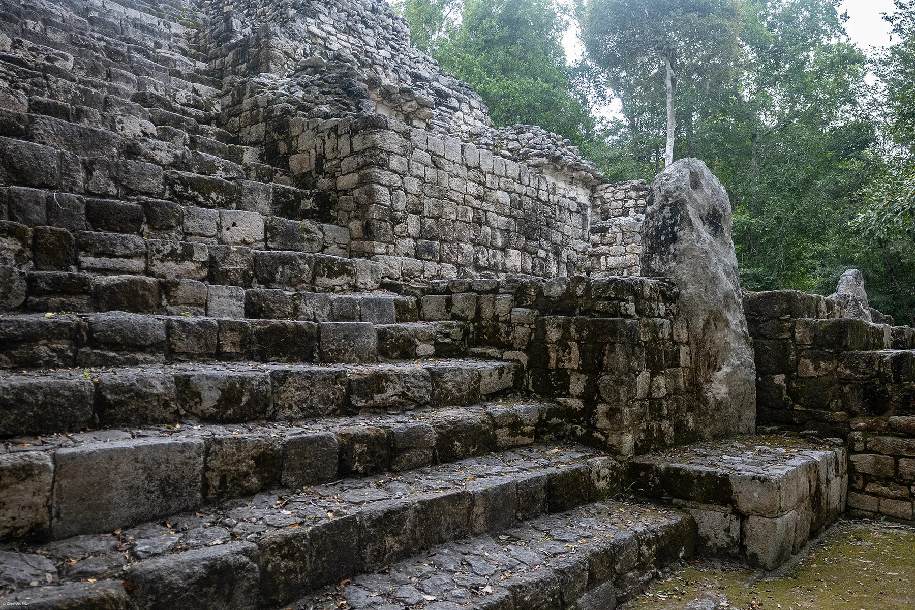
A major Maya city rises within one of the largest remaining tropical forest blocks of the Yucatan Peninsula.
Explore this place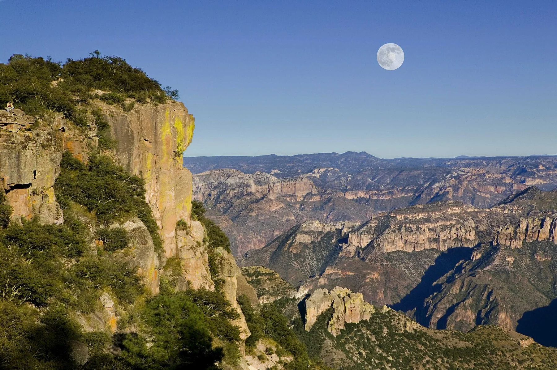
A vast network of canyons in northern Mexico where pine plateaus, subtropical ravines, railway settlements and Raramuri communities span major changes in elevation.
Explore this place