High forest
Pine-oak woodland survives far above the surrounding desert.
Plan the least frequent boat, ferry or exposed coastal section first. Use early or late light and keep a weather alternative during Nov-Apr.
An isolated forested mountain range rises above the deserts and coasts of southern Baja California.
Pine-oak woodland survives far above the surrounding desert.
Plan the least frequent boat, ferry or exposed coastal section first. Use early or late light and keep a weather alternative during Nov-Apr.
The details that make Sierra de la Laguna different.
Pine-oak woodland survives far above the surrounding desert.
Water-cut ravines create pools and sheltered vegetation.
Traditional paths connect scattered mountain properties and springs.
An isolated forested mountain range rises above the deserts and coasts of southern Baja California. Its character becomes clearer when geology, settlement and modern protection are considered together.
Sierra de la Laguna occupies the high interior of the southern Baja peninsula. An isolated forested mountain range rises above the deserts and coasts of southern Baja California. The range stands between the Pacific and Gulf of California coasts, making it a biological island within the peninsula.
The strongest visual shorthand for Sierra de la Laguna is the experience described as “High forest”. Behind it lies a more complex relationship between physical processes, settlement and the modern idea of the place as a destination. Pine-oak woodland survives far above the surrounding desert.
Continue to practical planningThe first layer of Sierra de la Laguna is geological and ecological rather than scenic. Granite peaks and canyons capture enough moisture to support pine-oak forest above cactus desert and tropical dry woodland.
Erosion and scarcity give small features unusual weight. At Sierra de la Laguna, “High forest” exposes the processes that cut, transported or concentrated the visible materials. Pine-oak woodland survives far above the surrounding desert.
Sierra de la Laguna has been shaped as much by livelihoods and movement as by natural processes. Remote ranches and historic routes reflect a long local culture of livestock, water knowledge and mountain travel.
At Sierra de la Laguna, “Granite canyons” should not be treated as a decorative detail. Water-cut ravines create pools and sheltered vegetation. The feature records how construction, movement or livelihood adapted to local conditions at Sierra de la Laguna.
Economic use reorganised the landscape of Sierra de la Laguna. At Sierra de la Laguna, extraction, farming or engineered infrastructure created routes and clearings that still influence settlement and the scenery interpreted as natural today. Sierra de la Laguna should therefore be read as an evolving cultural landscape rather than a timeless scene.
Start with the feature “High forest”, because it condenses a much larger part of the story of Sierra de la Laguna. Pine-oak woodland survives far above the surrounding desert. For Sierra de la Laguna, that relationship is more informative than treating the feature only as a photograph or checklist item.
Look closely at the feature “Granite canyons” in Sierra de la Laguna; it carries information that a panoramic view can miss. Water-cut ravines create pools and sheltered vegetation. At Sierra de la Laguna, the detail links local scale with the wider regional pattern.
Look closely at the feature “Ranch routes” in Sierra de la Laguna; it carries information that a panoramic view can miss. Traditional paths connect scattered mountain properties and springs. At Sierra de la Laguna, it gives a concrete reference point for reading change rather than merely collecting viewpoints.
At Sierra de la Laguna, season is part of the landscape history, not merely a planning detail. Cooler months are best for lower approaches; high trails can be cold, and water availability varies strongly by season.
For Sierra de la Laguna, the main seasonal constraint is: the strongest planning window is Nov-Apr. For Sierra de la Laguna, outside it, check weather, daylight, road or ferry schedules and seasonal closures before committing to a fixed route.
For Sierra de la Laguna, one practical detail matters: distances, fuel, food and mobile coverage can be less predictable than the map suggests. For Sierra de la Laguna, carry offline maps and keep a margin in the schedule.
Placed within its wider geography, Sierra de la Laguna is not an isolated exception. For Sierra de la Laguna, the wider context shows that, the range stands between the Pacific and Gulf of California coasts, making it a biological island within the peninsula.
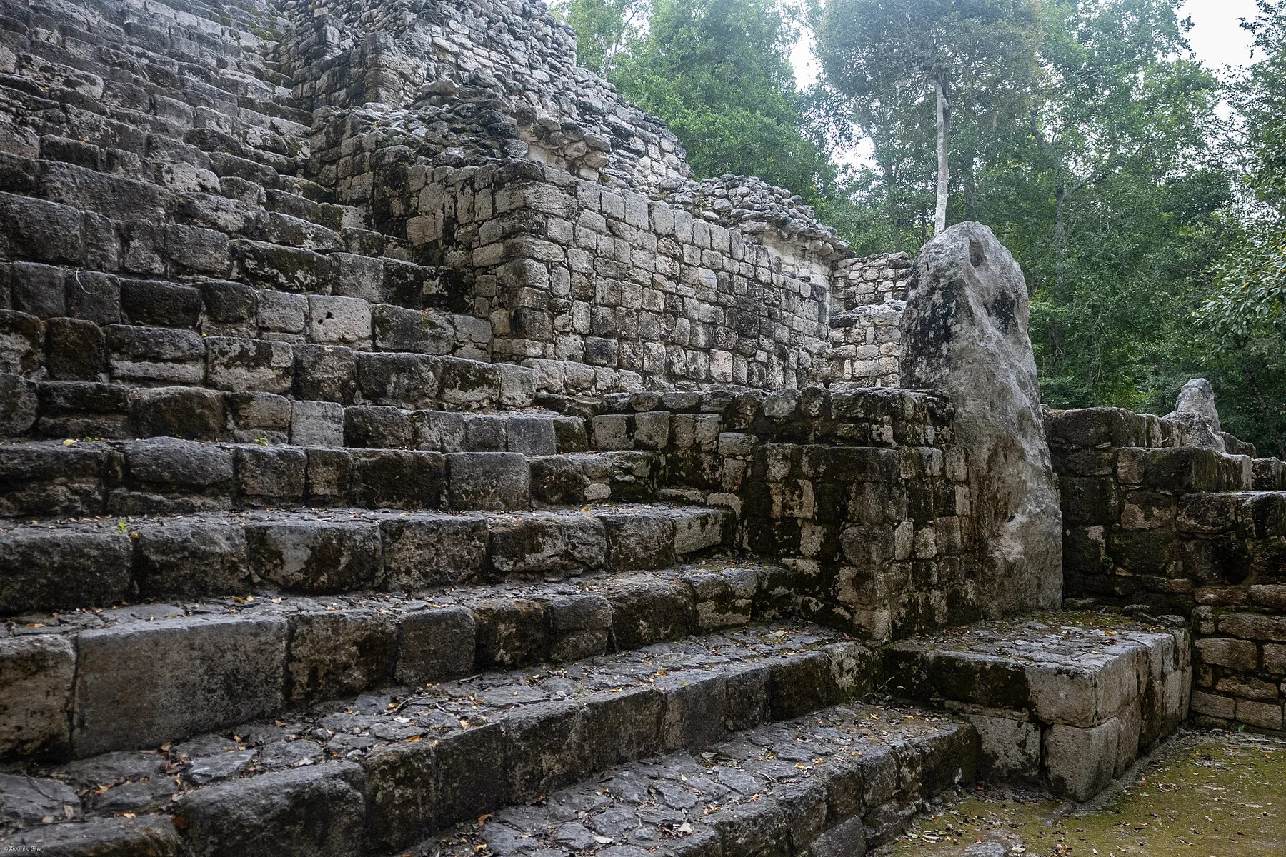
A major Maya city rises within one of the largest remaining tropical forest blocks of the Yucatan Peninsula.
Explore this place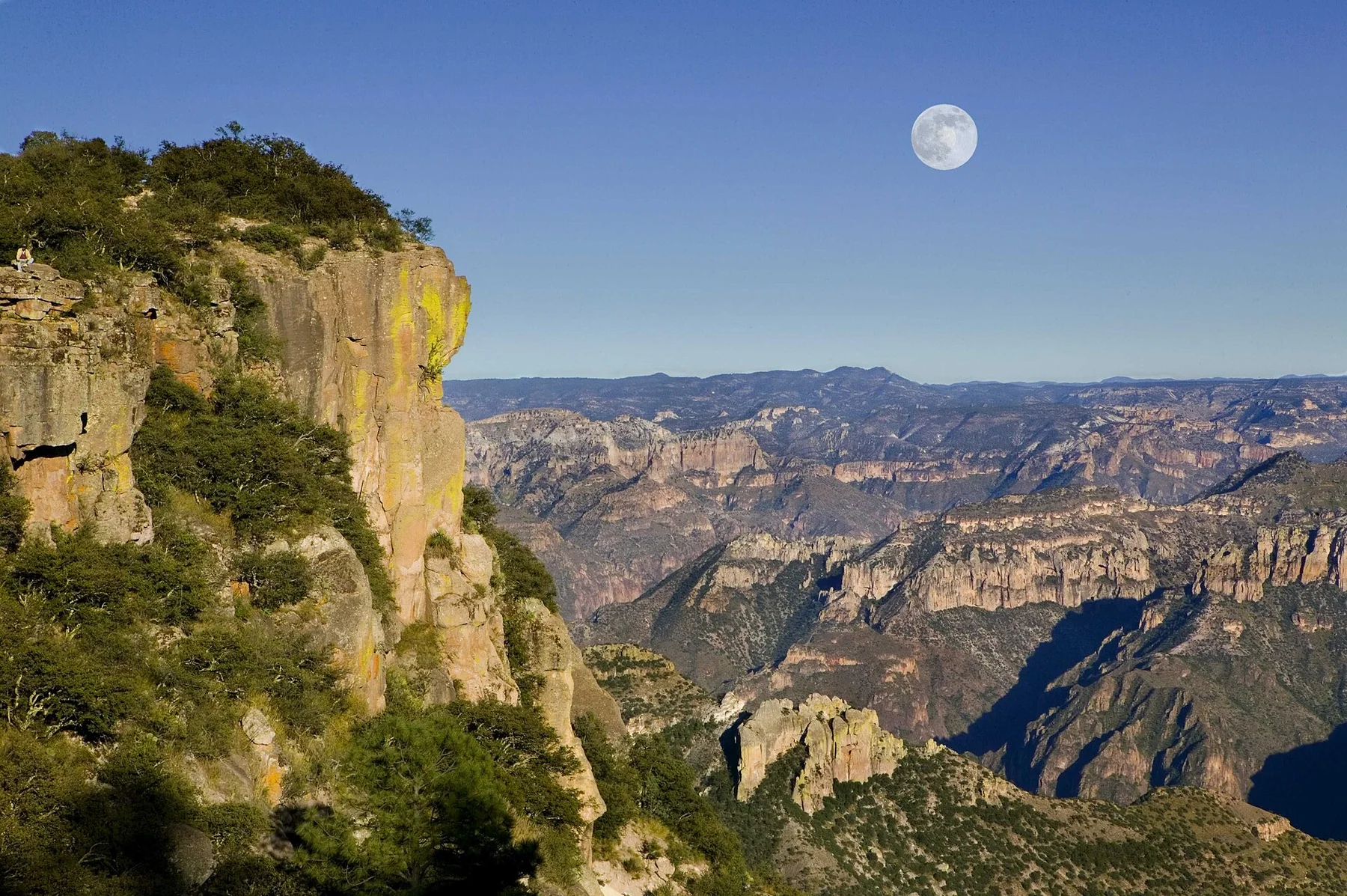
A vast network of canyons in northern Mexico where pine plateaus, subtropical ravines, railway settlements and Raramuri communities span major changes in elevation.
Explore this place
Tropical forest, cloud forest, oak woodland and dry scrub meet across a steep ecological gradient in northeastern Mexico.
Explore this place