Evolutionary island

Socotra

An isolated island system of endemic trees, limestone plateaus, caves, dunes and bright coastlines shaped by long evolutionary separation.

Endemic floraLimestoneIsland plateaus

Location
Arabian Sea, Yemen
Best window
Oct-Apr
Suggested stay
3-5 days
Go for
Ecological expedition
The reason to go

Dragon blood forests

Umbrella-shaped trees create a distinctive upland canopy found nowhere else at this scale.

Plan the least frequent boat, ferry or exposed coastal section first. Use early or late light and keep a weather alternative during Oct-Apr.

Look a little closer

Worth discovering

The details that make Socotra different.

Photo journal
01

Dragon blood forests

Umbrella-shaped trees create a distinctive upland canopy found nowhere else at this scale.

Destination view
02

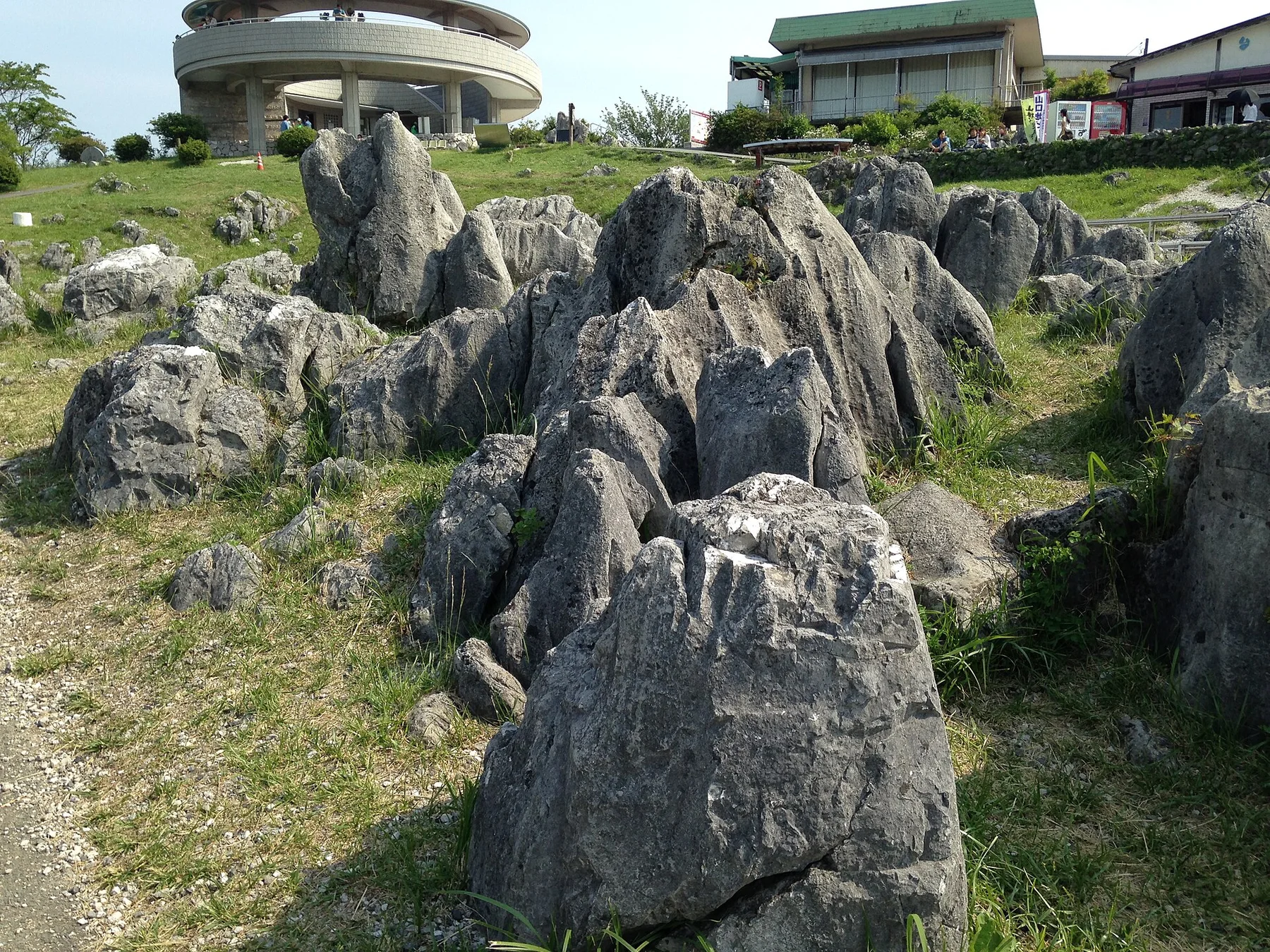
Limestone interior

Plateaus, caves and escarpments form a large hidden landscape beyond the better-known coast.

Destination view
03

Endemic archipelago

Plants, reptiles and other species reflect long isolation and exceptional ecological specialisation.

Photo journal

A closer look at Socotra

12 photographs
Origins and change

Socotra: land, people and change

An isolated island system of endemic trees, limestone plateaus, caves, dunes and bright coastlines shaped by long evolutionary separation. Its character becomes clearer when geology, settlement and modern protection are considered together.

Socotra is often recognised by the umbrella form of the dragon blood tree, but the archipelago contains a much broader range of landscapes. Limestone plateaus, deep wadis, caves, dry valleys, coastal dunes and clear bays occur within a relatively compact island. Long isolation has produced high levels of endemism and a visual character unlike the surrounding mainland regions.

The familiar invitation at Socotra is “Dragon blood forests”, yet that image makes more sense when it is connected to the landform, the local economy and the changes that determined access. Umbrella-shaped trees create a distinctive upland canopy found nowhere else at this scale.

Continue to practical planning
Coast, Socotra Island (12447577503)See the complete photo journal
Physical setting

Why the terrain has this form

At Socotra, the form of the landscape explains many of the choices that came later. The main island rises from coastal plains into broad interior plateaus and rugged mountains. Seasonal water cuts through limestone, while wind shapes dunes along sections of the coast. Vegetation changes sharply with elevation and exposure, from sparse lowland scrub to concentrations of dragon blood and frankincense trees in suitable upland zones.

The map understates the role of the sea. At Socotra, “Dragon blood forests” makes clear that water is both a boundary and the route through which settlements, wildlife and outside connections developed. Umbrella-shaped trees create a distinctive upland canopy found nowhere else at this scale.

Lives and livelihoods

Lives shaped by the terrain

At Socotra, human history is written into settlement and land use rather than separated from the scenery. Socotri communities have developed languages, pastoral practices, plant knowledge and settlement patterns adapted to limited water and powerful seasonal weather. Hadibo is the principal town, but much of the island remains rural. Traditional ecological knowledge is especially important because many species and habitats are both locally useful and globally rare.

A close look at “Limestone interior” makes the cultural layer of Socotra more concrete. Plateaus, caves and escarpments form a large hidden landscape beyond the better-known coast. At Socotra, the surviving form links present-day identity with earlier work and settlement.

Modern history

What altered the old balance

The decisive modern change at Socotra was access. At Socotra, transport and visitor infrastructure made the landscape easier to reach while concentrating pressure at the few points where roads, boats or trails enter it. At Socotra, the result is not a clean break with the past because earlier routes and habits continue to organise the present landscape.

Details to read

What to read in the landscape

Look closely at the feature “Dragon blood forests” in Socotra; it carries information that a panoramic view can miss. Umbrella-shaped trees create a distinctive upland canopy found nowhere else at this scale. Within Socotra, the feature explains why this destination differs from nearby landscapes.

At Socotra, the feature “Limestone interior” is best understood as part of the surrounding system rather than an isolated stop. Plateaus, caves and escarpments form a large hidden landscape beyond the better-known coast. At Socotra, it gives a concrete reference point for reading change rather than merely collecting viewpoints.

At Socotra, the feature “Endemic archipelago” provides a precise clue to how the landscape works. Plants, reptiles and other species reflect long isolation and exceptional ecological specialisation. At Socotra, it gives a concrete reference point for reading change rather than merely collecting viewpoints.

Continuity

What continues to change

At Socotra, light, water and temperature reveal different structures at different times of year. The calmer period usually falls outside the strongest monsoon months, when wind and sea conditions can dominate access and movement. Rain is irregular but ecologically important. Conditions, permissions and transport can change, so the island's seasonal rhythm is inseparable from its remoteness.

For Socotra, the main seasonal constraint is: the strongest planning window is Oct-Apr. For Socotra, outside it, check weather, daylight, road or ferry schedules and seasonal closures before committing to a fixed route.

For Socotra, one practical detail matters: distances, fuel, food and mobile coverage can be less predictable than the map suggests. For Socotra, carry offline maps and keep a margin in the schedule.

Placed within its wider geography, Socotra is not an isolated exception. Socotra lies closer to the Horn of Africa than to mainland Yemen and occupies a strategic position between the Arabian Sea and Indian Ocean. For Socotra, its biogeographic connections reach toward Arabia, East Africa and older Gondwanan lineages, making the archipelago significant far beyond its iconic trees.
Travel notes

Plan your visit

Time needed
3-5 days
Getting around
4x4 or local driver, with short walks at the main sites
Effort
Moderate to demanding
Plan first
Main transport and accommodation
Time of day
Sunrise and the final hours of light
Best window
Oct-Apr
Traveller stories

Stories from people who have been here.

First-hand moments, practical notes and overlooked details from Socotra.

Loading traveller stories…

Browse all traveller stories ↗

Keep exploring

Where next?

All place stories