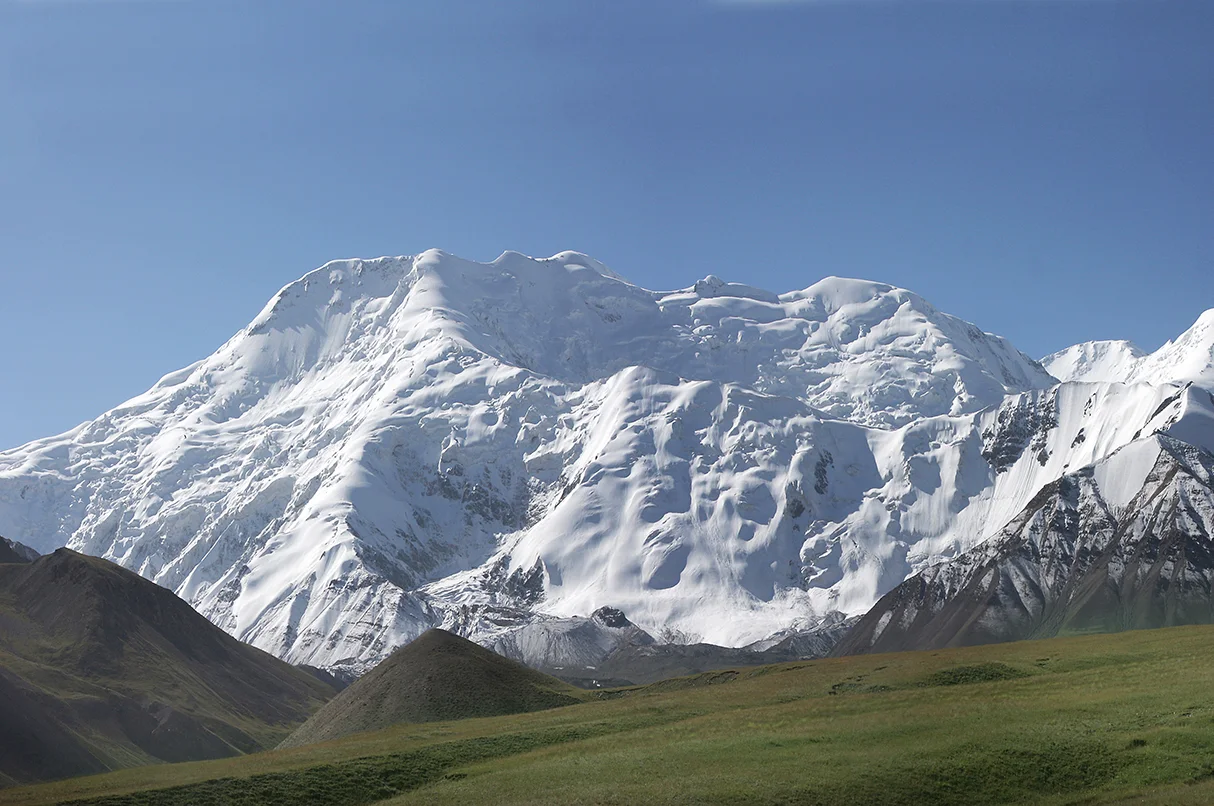
Caucasus stronghold

Upper Svaneti

Medieval defensive towers, high valleys and glacier-fed rivers form one of the Caucasus region's most distinctive inhabited mountain landscapes.

Svan towersHigh valleysGlaciers

Location
Caucasus, Georgia
Best window
Jun-Oct
Suggested stay
2-4 days
Go for
Living mountain history
The reason to go

Svan towers

Medieval defensive towers rise among family compounds and create a unique inhabited skyline.

Start early and make this the first exposed stop of the day. Keep a lower route ready if cloud, heat, wind or trail conditions change during Jun-Oct.

Look a little closer

Worth discovering

The details that make Upper Svaneti different.

Photo journal
01

Svan towers

Medieval defensive towers rise among family compounds and create a unique inhabited skyline.

Photo journal
02

Mestia and Ushguli

The principal settlements reveal different balances of regional life, heritage and high-mountain exposure.

Destination view
03

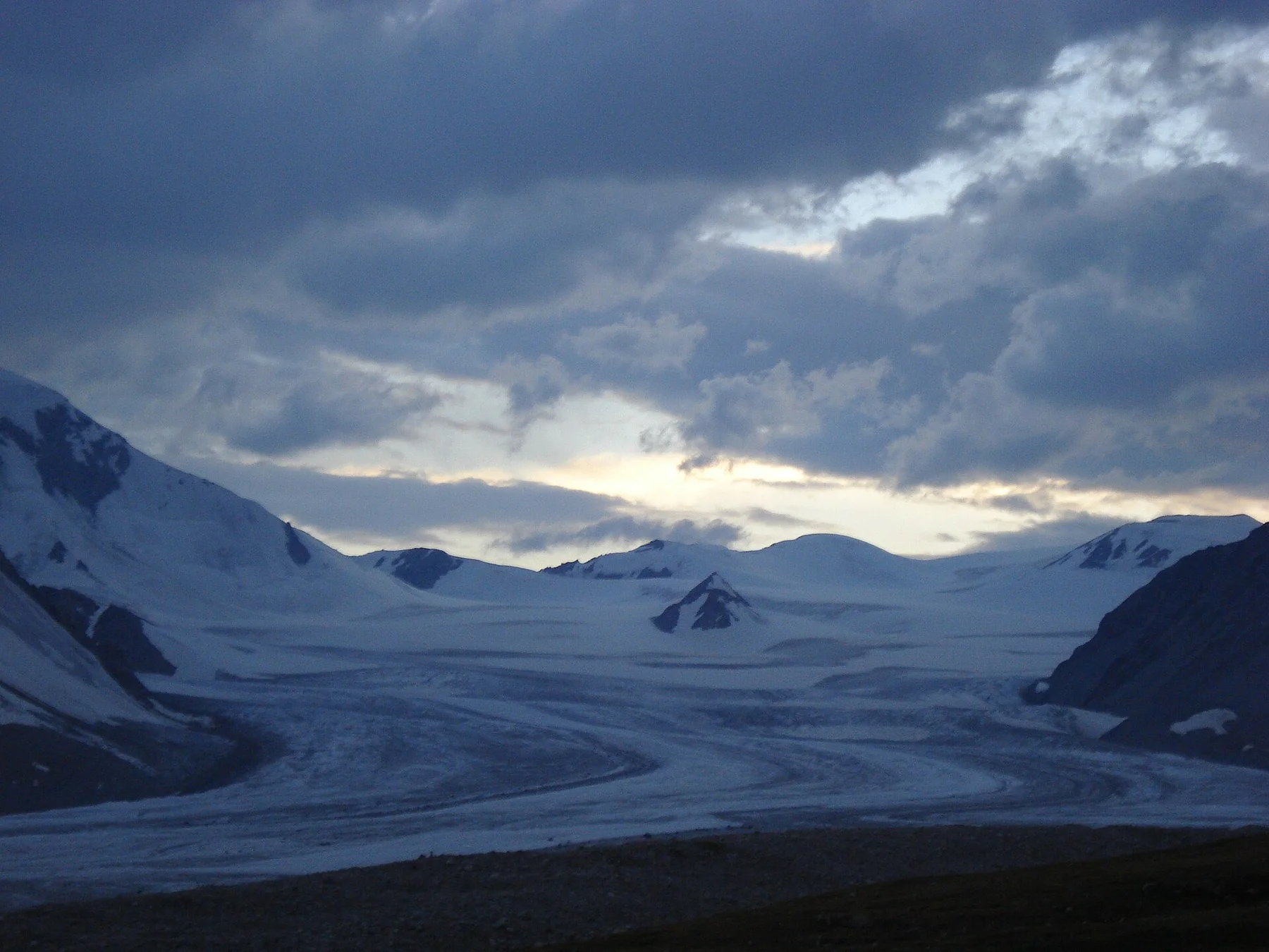
Glacier valleys

Rivers, moraine and permanent snow connect cultivated village land with the central Caucasus massifs.

Photo journal

A closer look at Upper Svaneti

15 photographs
Deep background

Upper Svaneti: land, people and change

Medieval defensive towers, high valleys and glacier-fed rivers form one of the Caucasus region's most distinctive inhabited mountain landscapes. This account follows the forces, communities and decisions that made the present landscape.

Upper Svaneti occupies the upper Enguri valley beneath some of the central Caucasus's highest peaks. Villages are marked by stone defensive towers rising above houses, barns and lanes. The architecture is inseparable from the terrain: steep valleys, snowbound passes and historical isolation helped produce communities with a strong local language and identity.

Many visits to Upper Svaneti begin with the experience described as “Svan towers”. The more revealing question is why it exists here, how people used the surrounding ground and what remains visible from earlier phases. Medieval defensive towers rise among family compounds and create a unique inhabited skyline.

Continue to practical planning
Mestia (59)See the complete photo journal
Origins

The landform before the landmark

At Upper Svaneti, the physical story begins with the structure of the ground. Glaciers and high ridges feed rivers that cut through forested valleys before opening around settlements. The landscape shifts from cultivated terraces and hayfields to moraine, scree and permanent snow over short horizontal distances. Ushguli sits especially high in the valley system, with monumental mountains forming its immediate horizon.

Relief controls far more than the view. At Upper Svaneti, “Svan towers” reveals how elevation divides vegetation, weather, water and the routes available to people. Medieval defensive towers rise among family compounds and create a unique inhabited skyline.

Lives and livelihoods

The human landscape behind the scenery

Upper Svaneti has been shaped as much by livelihoods and movement as by natural processes. Mestia is the regional centre, while smaller villages preserve different concentrations of towers and churches. Svan music, oral traditions, icons and family histories add cultural depth beyond the architecture. Road improvements and tourism have transformed access, but seasonal work and the constraints of mountain weather remain visible.

At Upper Svaneti, “Mestia and Ushguli” should not be treated as a decorative detail. The principal settlements reveal different balances of regional life, heritage and high-mountain exposure. The feature records how construction, movement or livelihood adapted to local conditions at Upper Svaneti.

Reorganisation

A landscape reorganised

Formal protection changed how Upper Svaneti was described and managed. At Upper Svaneti, new boundaries, visitor rules and conservation priorities created a public identity that still has to coexist with settlements, customary use and economic pressures. At Upper Svaneti, the result is not a clean break with the past because earlier routes and habits continue to organise the present landscape.

Visible evidence

The evidence still visible on the ground

Look closely at the feature “Svan towers” in Upper Svaneti; it carries information that a panoramic view can miss. Medieval defensive towers rise among family compounds and create a unique inhabited skyline. At Upper Svaneti, the detail links local scale with the wider regional pattern.

Start with the feature “Mestia and Ushguli”, because it condenses a much larger part of the story of Upper Svaneti. The principal settlements reveal different balances of regional life, heritage and high-mountain exposure. At Upper Svaneti, the detail links local scale with the wider regional pattern.

At Upper Svaneti, the significance of the feature “Glacier valleys” goes beyond its visual impact. Rivers, moraine and permanent snow connect cultivated village land with the central Caucasus massifs. Within Upper Svaneti, it is both an attraction and a record of the processes described above.

Living landscape

A living landscape, not a frozen scene

A single visit to Upper Svaneti captures only one phase of its annual cycle. Summer offers the broadest movement between valleys and high routes. Early autumn brings clearer air and haymaking landscapes, while winter can isolate communities and concentrate activity around inhabited centres. Snowmelt defines spring, when rivers rise and access to higher ground changes gradually.

For Upper Svaneti, the main seasonal constraint is: the strongest planning window is Jun-Oct. For Upper Svaneti, outside it, check weather, daylight, road or ferry schedules and seasonal closures before committing to a fixed route.

For Upper Svaneti, one practical detail matters: cloud, wind and trail conditions can change quickly. For Upper Svaneti, put the highest or most exposed stop first and keep a lower-level alternative.

Placed within its wider geography, Upper Svaneti is not an isolated exception. Upper Svaneti is part of a wider western Georgian mountain system connected to Lower Svaneti, Racha and the passes toward the north Caucasus. For Upper Svaneti, understanding the Enguri valley alongside these neighbouring regions shows how varied the Georgian highlands are in architecture, language and terrain.
Travel notes

Plan your visit

Time needed
2-4 days
Getting around
Car to access points, then walking or hiking
Effort
Moderate to demanding
Plan first
Opening days and any limited-entry sites
Time of day
Start early for clearer conditions and more time
Best window
Jun-Oct
Traveller stories

Stories from people who have been here.

First-hand moments, practical notes and overlooked details from Upper Svaneti.

Loading traveller stories…

Browse all traveller stories ↗

Keep exploring

Where next?

All place stories