Taman Negara changes through the year because weather and biological cycles rearrange what can be seen and used. Rain is possible year-round, with drier periods generally offering easier trail and river conditions. Heat and humidity remain constant, and water levels can change transport plans. Quieter shoulder periods can be rewarding when services are still operating.
For Taman Negara, the main seasonal constraint is: the strongest planning window is Feb-Sep. For Taman Negara, outside it, check weather, daylight, road or ferry schedules and seasonal closures before committing to a fixed route.
For Taman Negara, one practical detail matters: use the highlights as a route, not as isolated photo stops, and leave enough time for local roads, short walks and unplanned changes.
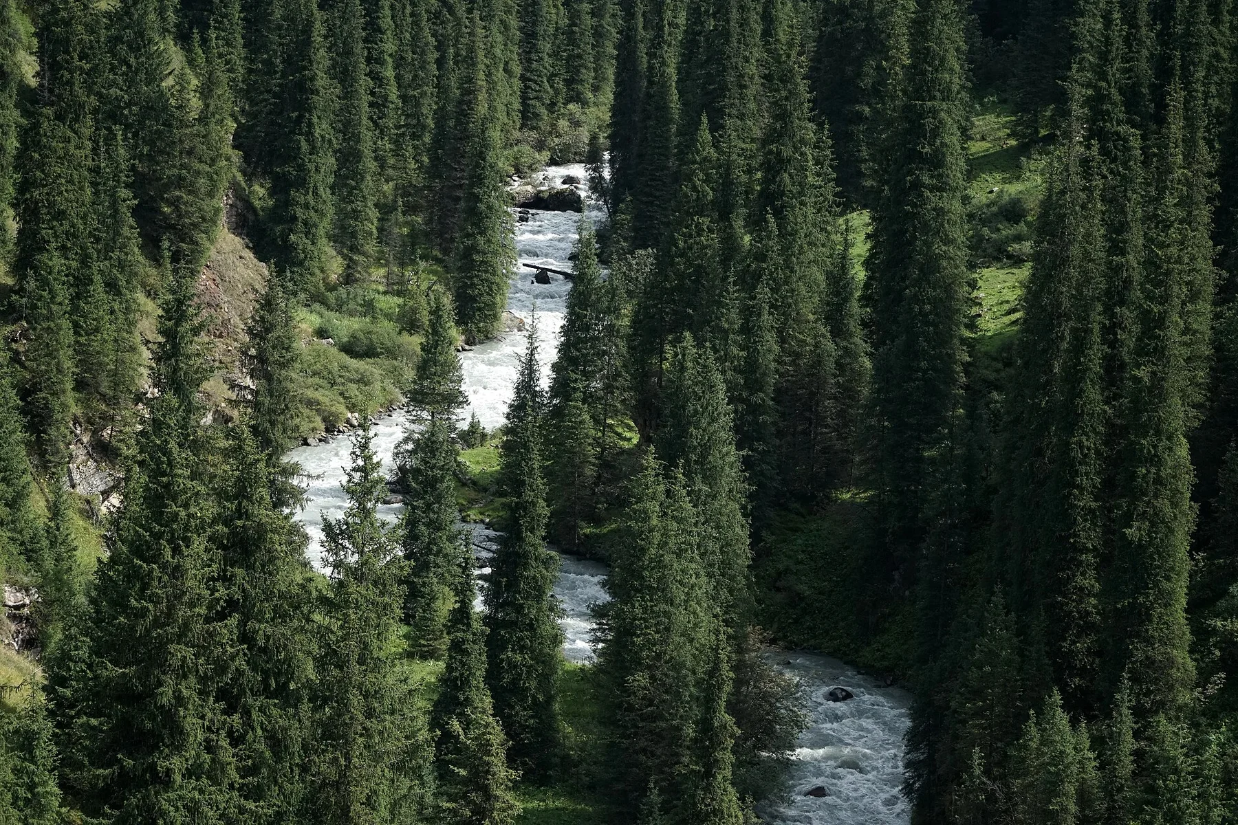
Placed within its wider geography, Taman Negara is not an isolated exception. Taman Negara forms a central block within a larger network of forested mountains and river catchments. For Taman Negara, exploring by river and on foot, rather than only using the canopy walkway, reveals the true scale and ecological continuity of the area.