Mount Yasur
Persistent volcanic activity makes geological process immediately visible and audible.
Plan the least frequent boat, ferry or exposed coastal section first. Use early or late light and keep a weather alternative during May-Oct.
An active volcano, ash plain, rainforest, black-sand coast and strong kastom communities occupy one compact island in southern Vanuatu.
Persistent volcanic activity makes geological process immediately visible and audible.
Plan the least frequent boat, ferry or exposed coastal section first. Use early or late light and keep a weather alternative during May-Oct.
The details that make Tanna different.
Persistent volcanic activity makes geological process immediately visible and audible.
A broad unvegetated surface creates a stark transition between volcano and rainforest.
Customary land and ceremony remain central to how the island is organised and understood.
An active volcano, ash plain, rainforest, black-sand coast and strong kastom communities occupy one compact island in southern Vanuatu. Its character becomes clearer when geology, settlement and modern protection are considered together.
Tanna contains an exceptional concentration of landscapes. Mount Yasur rises above a broad ash plain, while rainforest, cultivated slopes, grassland and black-sand beaches appear within short distances. The volcano is visually dominant, but the island's cultural strength is equally important.
The strongest visual shorthand for Tanna is the experience described as “Mount Yasur”. Behind it lies a more complex relationship between physical processes, settlement and the modern idea of the place as a destination. Persistent volcanic activity makes geological process immediately visible and audible.
Continue to practical planningThe first layer of Tanna is geological and ecological rather than scenic. Ash and volcanic gases shape the immediate surroundings of Yasur, producing an open, almost monochrome plain. Elsewhere, high rainfall supports dense vegetation and waterfalls. Coral terraces and coastal cliffs reveal older phases of island uplift and erosion.
Water is not simply scenery at Tanna; it organises erosion, habitat and movement. “Mount Yasur” is where those roles become easiest to separate and understand. Persistent volcanic activity makes geological process immediately visible and audible.
At Tanna, human history is written into settlement and land use rather than separated from the scenery. Kastom remains a powerful framework for land, ceremony and community identity. Villages maintain distinct traditions alongside churches, schools and modern services. Tourism around the volcano operates within customary land relationships rather than on an empty natural stage.
At Tanna, the feature described as “Ash plain” offers a second line of evidence. A broad unvegetated surface creates a stark transition between volcano and rainforest. Within Tanna, it shows how local knowledge and practical use became embedded in the landscape.
The decisive modern change at Tanna was access. At Tanna, transport and visitor infrastructure made the landscape easier to reach while concentrating pressure at the few points where roads, boats or trails enter it. At Tanna, the consequences are clearest where traditional use, protection and tourism occupy the same ground.
At Tanna, the significance of the feature “Mount Yasur” goes beyond its visual impact. Persistent volcanic activity makes geological process immediately visible and audible. For Tanna, that relationship is more informative than treating the feature only as a photograph or checklist item.
At Tanna, the feature “Ash plain” is best understood as part of the surrounding system rather than an isolated stop. A broad unvegetated surface creates a stark transition between volcano and rainforest. At Tanna, it gives a concrete reference point for reading change rather than merely collecting viewpoints.
Look closely at the feature “Kastom communities” in Tanna; it carries information that a panoramic view can miss. Customary land and ceremony remain central to how the island is organised and understood. For Tanna, that relationship is more informative than treating the feature only as a photograph or checklist item.
At Tanna, season is part of the landscape history, not merely a planning detail. The cooler, drier months generally provide more stable conditions, while the wet season brings humidity and cyclone risk. Volcanic activity and access rules can change independently of weather and require local authority.
For Tanna, the main seasonal constraint is: the strongest planning window is May-Oct. For Tanna, outside it, check weather, daylight, road or ferry schedules and seasonal closures before committing to a fixed route.
For Tanna, one practical detail matters: wind, sea state and tide can matter as much as distance. For Tanna, check conditions before boat trips, exposed cliffs or tidal sections.
Placed within its wider geography, Tanna is not an isolated exception. Tanna belongs to Vanuatu's southern island group and has cultural and ecological links with Aneityum, Erromango and the wider Melanesian region. For Tanna, its compact scale makes the contrast between volcano, village and coast especially clear.
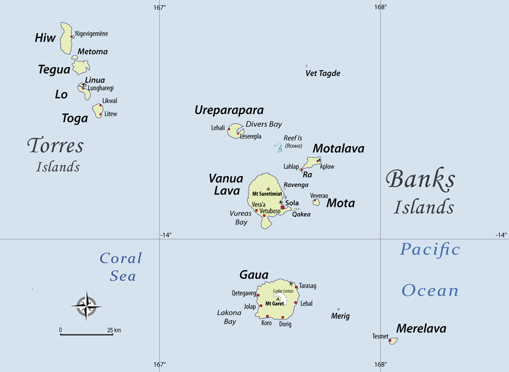
A remote volcanic island group combines active craters, waterfalls, reefs and culturally distinct communities.
Explore this place
Vanuatu largest island combines blue holes, rainforest, village coastlines, caves and Second World War history.
Explore this place
A volcanic main island and a wide turquoise lagoon are enclosed by reef and small motu in the central South Pacific.
Explore this place