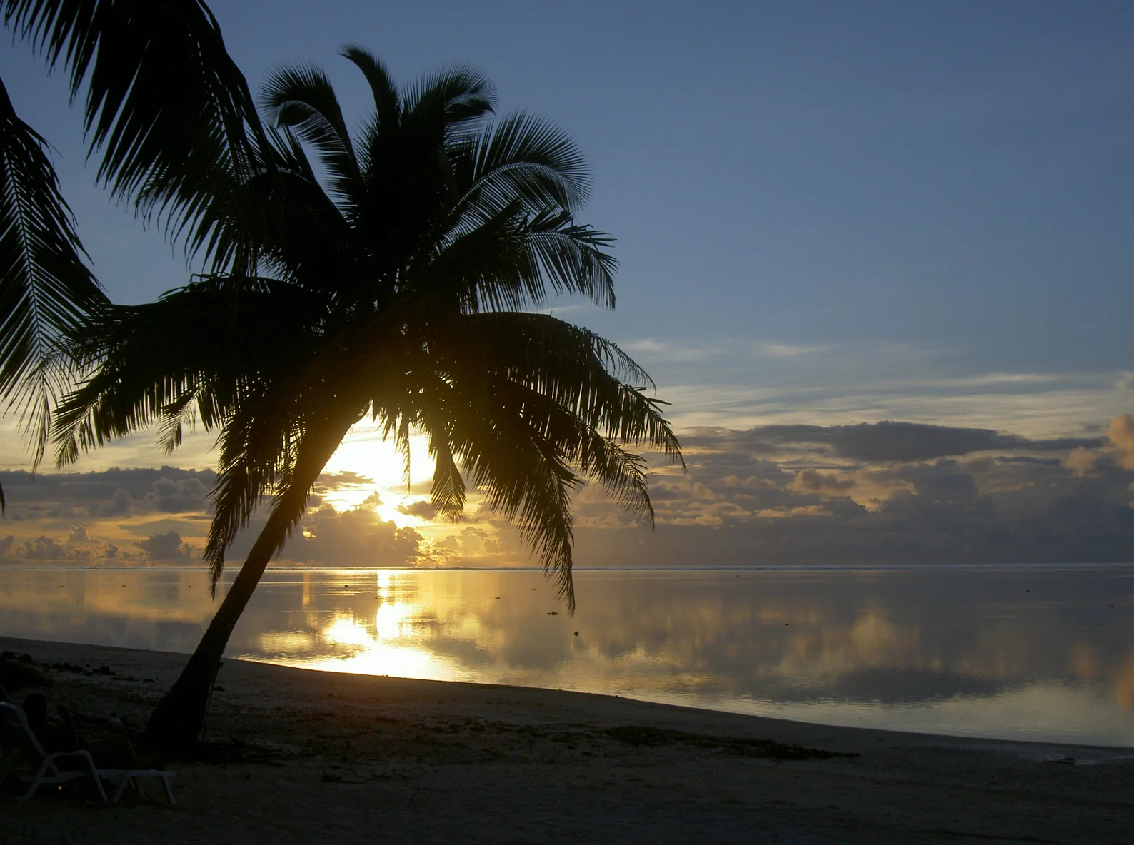
Cross part of the lagoon in a traditional sailing canoe
The atoll's scale becomes clear only on the water, where tiny wooded islands appear and disappear across an enormous protected sea.
Plan the least frequent boat or flight first, then use the remaining time for the signature route rather than trying to collect every viewpoint.
Look a little closer
Worth discovering
The details that make Ulithi Atoll different.
Destination view
01
Falalop
The airstrip island is the main point of arrival.
Destination view
02
Traditional navigation
Canoe knowledge remains central to outer-island identity.
Destination view
03
Outer lagoon islets
Remote beaches and reef passages extend far beyond the villages.
Photo journal
A closer look at Ulithi Atoll
5 photographs
01USNS Mercy (T-AH-19) underway off Ulithi Atoll on 20 March 2018 (180320-N-RM689-0471)02Ulithi Atoll — view 203Whitecheek Surgeonfish, Acanthurus nigricans in Ulithi04USNS Mercy (T-AH-19) underway off Ulithi Atoll on 20 March 2018 (180320-N-RM689-0471)05Whitecheek Surgeonfish, Acanthurus nigricans in Ulithi
Deep background
What made Ulithi Atoll distinctive
A vast lagoon contains dozens of low islands and communities with strong canoe-navigation traditions. The view is only the surface of a longer story of formation, use and change.
4 min readWestern Caroline Islands, Micronesia
Ulithi Atoll is centred on Western Caroline Islands, where a vast lagoon contains dozens of low islands and communities with strong canoe-navigation traditions. The strongest reason to make the journey is to cross part of the lagoon in a traditional sailing canoe.
Visitors often encounter Ulithi Atoll through the idea of “Cross part of the lagoon in a traditional sailing canoe”, but the destination is more than that single scene. Its landscape carries evidence of work, movement, adaptation and environmental change. The atoll's scale becomes clear only on the water, where tiny wooded islands appear and disappear across an enormous protected sea.
On an island, coast, altitude and exposure work together. At Ulithi Atoll, the feature described as “Falalop” shows how a short distance can separate sheltered ground from a very different ocean-facing environment. The airstrip island is the main point of arrival.
Ulithi Atoll is not a uniform area. Changes in elevation, exposure, water and substrate produce distinct environments over short distances, which is why a route through the place often reveals more than a fixed viewpoint.
02
Lives and livelihoods
People, work and memory
Ulithi's island communities belong to the wider Yapese cultural sphere, with customary chiefs, navigational knowledge and inter-island exchange organising life across a very large lagoon. Spanish, German and then Japanese colonial administrations imposed changing external systems without erasing local tenure and language.
Japan developed a communications and seaplane presence before the Second World War. In 1944 the United States seized the atoll and converted its lagoon into the principal forward anchorage for the western Pacific fleet. Hundreds of ships assembled inside the reef, supplied by floating docks and service vessels before operations toward the Philippines, Iwo Jima and Okinawa.
03
Modern history
A landscape reorganised
The wartime base briefly turned a small atoll into one of the world's largest naval concentrations, then disappeared almost as quickly. Wrecks, military debris and altered shorelines remain, but the enduring geography is still the customary network of inhabited islets, canoe routes and reef passages.
04
Field notes
Where the story becomes visible
Start with the feature “Falalop”, because it condenses a much larger part of the story of Ulithi Atoll. The airstrip island is the main point of arrival. At Ulithi Atoll, the detail links local scale with the wider regional pattern.
At Ulithi Atoll, the significance of the feature “Traditional navigation” goes beyond its visual impact. Canoe knowledge remains central to outer-island identity. At Ulithi Atoll, it gives a concrete reference point for reading change rather than merely collecting viewpoints.
At Ulithi Atoll, the feature “Outer lagoon islets” is one of the most useful pieces of visible evidence. Remote beaches and reef passages extend far beyond the villages. At Ulithi Atoll, it gives a concrete reference point for reading change rather than merely collecting viewpoints.
05
Season and scale
The current chapter
At Ulithi Atoll, season is part of the landscape history, not merely a planning detail. For Ulithi Atoll, the most reliable visiting window is Jan-Apr.
For Ulithi Atoll, the stated visiting window is Jan-Apr, but its practical meaning depends on local weather, water and transport rather than the calendar alone.
Placed within its wider geography, Ulithi Atoll is not an isolated exception. Beyond the best-known image of Ulithi Atoll feature, Ulithi Atoll matters because traditional navigation and outer lagoon islets place the destination inside a broader regional story.
Chronology
Key dates
Yapese atoll society
Navigation, chiefly authority and exchange linked dispersed islets across the lagoon.
Japanese administration
Ulithi became part of Japan's South Seas mandate and acquired military communications infrastructure.
US fleet anchorage
The lagoon served as a vast mobile naval base for the final campaigns of the Pacific war.
Travel notes
Plan your visit
Time needed
3-5 days
Getting around
Local transport, walking and boat or ferry connections
Effort
Easy to moderate
Plan first
Main flight or ferry, accommodation and weather backup
Time of day
Morning movement; late light for coast
Best window
Jan-Apr
Traveller stories
Stories from people who have been here.
First-hand moments, practical notes and overlooked details from Ulithi Atoll.