Iceland beyond the ring road

Westfjords

A deeply indented peninsula of table mountains, long fjords, bird cliffs and small fishing communities at Iceland's remote northwestern edge.

Fjord roadsBird cliffsFishing villages

Location
Northwest Iceland, Iceland
Best window
Jun-Sep
Suggested stay
3-5 days
Go for
Long coastal road journey
The reason to go

Latrabjarg cliffs

One of Europe's great bird-cliff systems forms a dramatic western boundary above the Atlantic.

Plan the least frequent boat, ferry or exposed coastal section first. Use early or late light and keep a weather alternative during Jun-Sep.

Look a little closer

Worth discovering

The details that make Westfjords different.

Destination view
01

Latrabjarg cliffs

One of Europe's great bird-cliff systems forms a dramatic western boundary above the Atlantic.

Photo journal
02

Fjord road sequence

Each pass opens a new enclosed bay, settlement and pattern of mountain walls.

Destination view
03

Isafjordur and the fishing coast

The regional centre and nearby villages reveal how maritime life continues within a demanding landscape.

Photo journal

A closer look at Westfjords

12 photographs
Deep background

Westfjords beyond the first view

A deeply indented peninsula of table mountains, long fjords, bird cliffs and small fishing communities at Iceland's remote northwestern edge. The view is only the surface of a longer story of formation, use and change.

The Westfjords project far into the North Atlantic as a broad peninsula cut by narrow fjords and separated from Iceland's main travel corridors. Roads trace the waterline, climb exposed passes and connect settlements that often face one another across the sea rather than across easy land routes. The scale feels open, but the pattern of movement is intimate and strongly shaped by the coast.

Visitors often encounter Westfjords through the idea of “Latrabjarg cliffs”, but the destination is more than that single scene. Its landscape carries evidence of work, movement, adaptation and environmental change. One of Europe's great bird-cliff systems forms a dramatic western boundary above the Atlantic.

Continue to practical planning
Fjord magic (44428349164)See the complete photo journal
Physical setting

The landform before the landmark

Before roads, settlements or protected-area boundaries, the terrain of Westfjords set the basic terms. Flat-topped mountains rise abruptly above beaches, tidal flats and sheltered inlets. Waterfalls descend from high plateaus, while sea cliffs such as Latrabjarg reveal the region's vertical Atlantic edge. The combination of old basalt layers, long winter erosion and limited low ground gives each fjord a distinct enclosure and creates continuous shifts between broad ocean views and compressed valleys.

The visible shoreline or channel at Westfjords is only one stage in a larger cycle. “Latrabjarg cliffs” demonstrates how flow, season and terrain interact. One of Europe's great bird-cliff systems forms a dramatic western boundary above the Atlantic.

Cultural landscape

The cultural layer of the place

At Westfjords, people learned to work with the landscape limits rather than arriving after its story was complete. Fishing remains central to the identity of towns such as Isafjordur, Patreksfjordur and Bolungarvik. Smaller settlements, abandoned farms and coastal infrastructure show how communities have adapted to isolation, avalanche exposure and changing marine economies. Contemporary cultural life is concentrated but active, with museums, local food and small creative initiatives adding depth to the road journey.

At Westfjords, the feature described as “Fjord road sequence” offers a second line of evidence. Each pass opens a new enclosed bay, settlement and pattern of mountain walls. Within Westfjords, it shows how local knowledge and practical use became embedded in the landscape.

Modern history

How access and attention changed the place

Formal protection changed how Westfjords was described and managed. At Westfjords, new boundaries, visitor rules and conservation priorities created a public identity that still has to coexist with settlements, customary use and economic pressures. At Westfjords, that transition remains visible in the contrast between older working features and visitor infrastructure.

On the ground

Three details that explain the whole place

At Westfjords, the feature “Latrabjarg cliffs” is best understood as part of the surrounding system rather than an isolated stop. One of Europe's great bird-cliff systems forms a dramatic western boundary above the Atlantic. Its position and condition at Westfjords connect physical history with the way people use the place now.

At Westfjords, the feature “Fjord road sequence” is one of the most useful pieces of visible evidence. Each pass opens a new enclosed bay, settlement and pattern of mountain walls. For Westfjords, that relationship is more informative than treating the feature only as a photograph or checklist item.

Look closely at the feature “Isafjordur and the fishing coast” in Westfjords; it carries information that a panoramic view can miss. The regional centre and nearby villages reveal how maritime life continues within a demanding landscape. Within Westfjords, it is both an attraction and a record of the processes described above.

Living landscape

The place within its wider region

A single visit to Westfjords captures only one phase of its annual cycle. Summer brings long daylight and the most reliable access across mountain passes, although fog, wind and rain can still alter plans quickly. Spring is strong for birdlife but some roads remain demanding. Autumn reduces traffic and intensifies coastal colour, while winter travel requires local knowledge because snow, ice and limited daylight fundamentally change the region.

For Westfjords, the main seasonal constraint is: the strongest planning window is Jun-Sep. For Westfjords, outside it, check weather, daylight, road or ferry schedules and seasonal closures before committing to a fixed route.

For Westfjords, one practical detail matters: distances, fuel, food and mobile coverage can be less predictable than the map suggests. For Westfjords, carry offline maps and keep a margin in the schedule.

Placed within its wider geography, Westfjords is not an isolated exception. The Westfjords connect naturally with the Strandir coast, the Hornstrandir nature reserve and the ferry route toward the Snaefellsnes peninsula. For Westfjords, seen together, these landscapes show an Iceland that is less organised around headline volcanic sites and more around fjords, marine work, weather and the practical geography of remote communities.

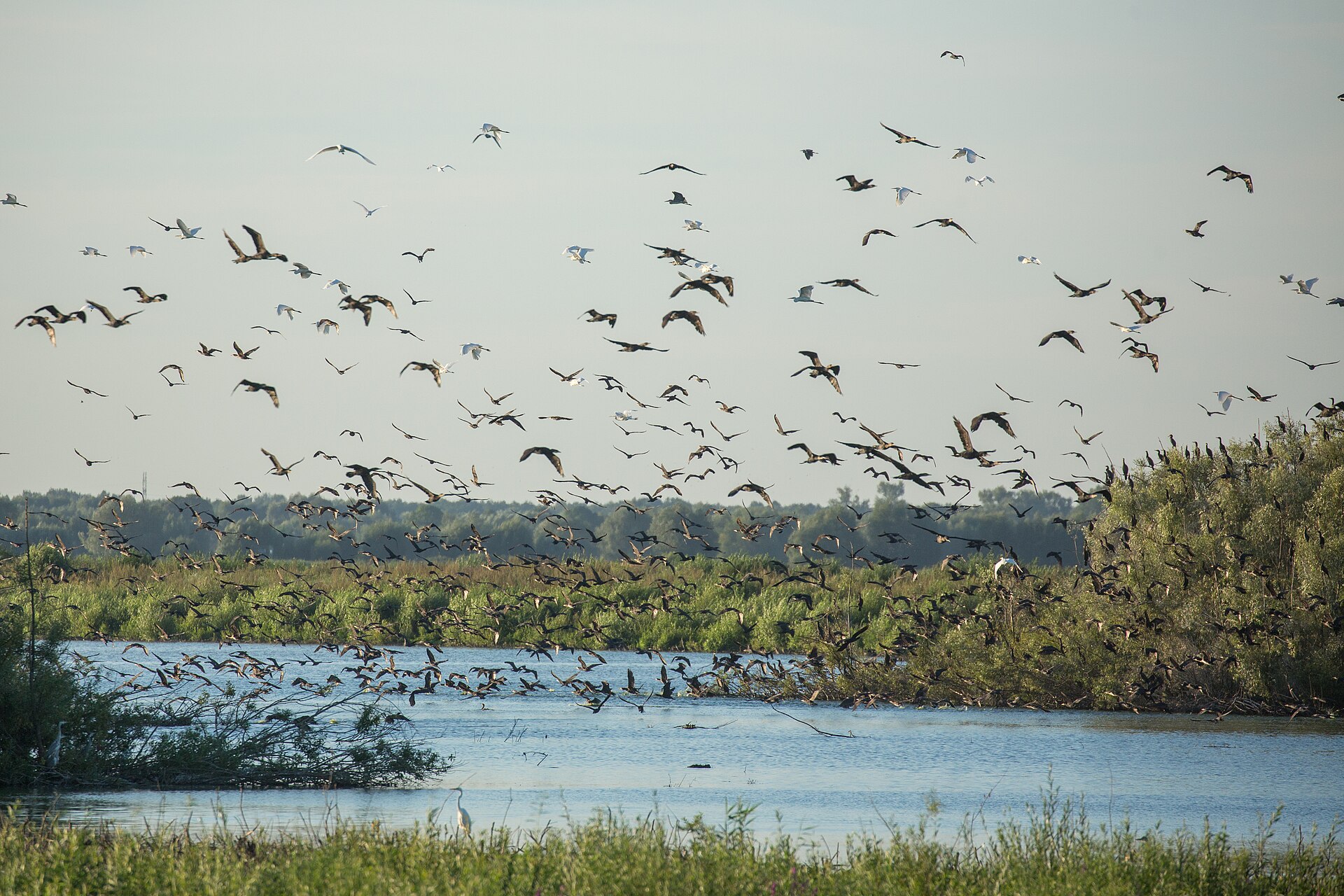
Travel notes

Plan your visit

Time needed
3-5 days
Getting around
Car to access points, then walking or hiking
Effort
Moderate to demanding
Plan first
Main transport and accommodation
Time of day
Early morning and late afternoon
Best window
Jun-Sep
Traveller stories

Stories from people who have been here.

First-hand moments, practical notes and overlooked details from Westfjords.

Loading traveller stories…

Browse all traveller stories ↗

Keep exploring

Where next?

All place stories