Take a small boat through mangrove channels at falling tide
The changing water level reveals mudflats, roots and feeding birds, turning a short trip from the capital into a completely different world.
Use an experienced local guide and begin early, when wildlife activity, water levels and cooler conditions are most favourable.
Look a little closer
Worth discovering
The details that make Akanda National Park different.
Destination view
01
Mondah Bay mangroves
Tidal forest forms a dense coastal maze.
Destination view
02
Migratory shorebirds
Seasonal flocks gather on exposed flats.
Destination view
03
Estuary channels
Boat routes show how freshwater and ocean tides mix.
Photo journal
A closer look at Akanda National Park
4 photographs
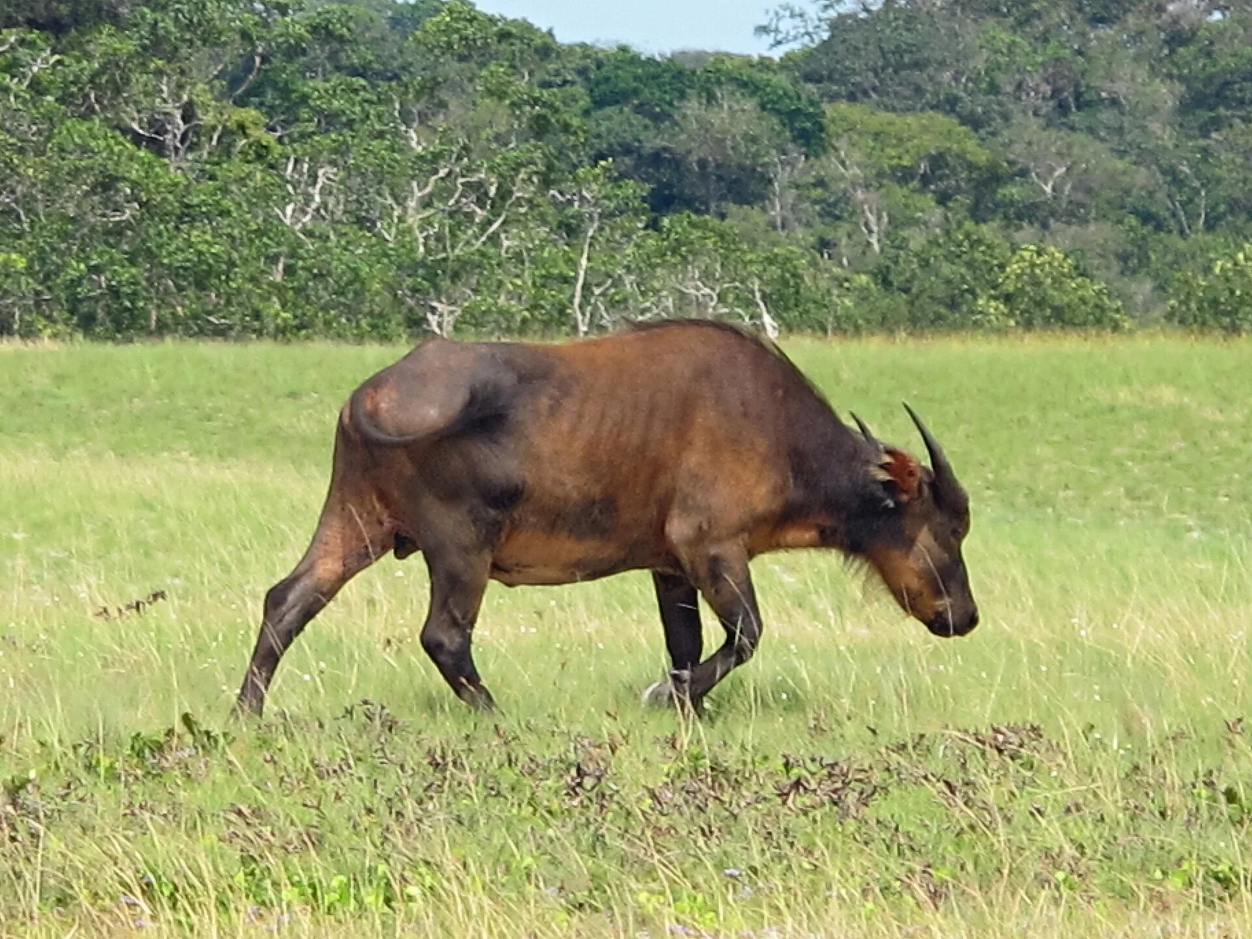
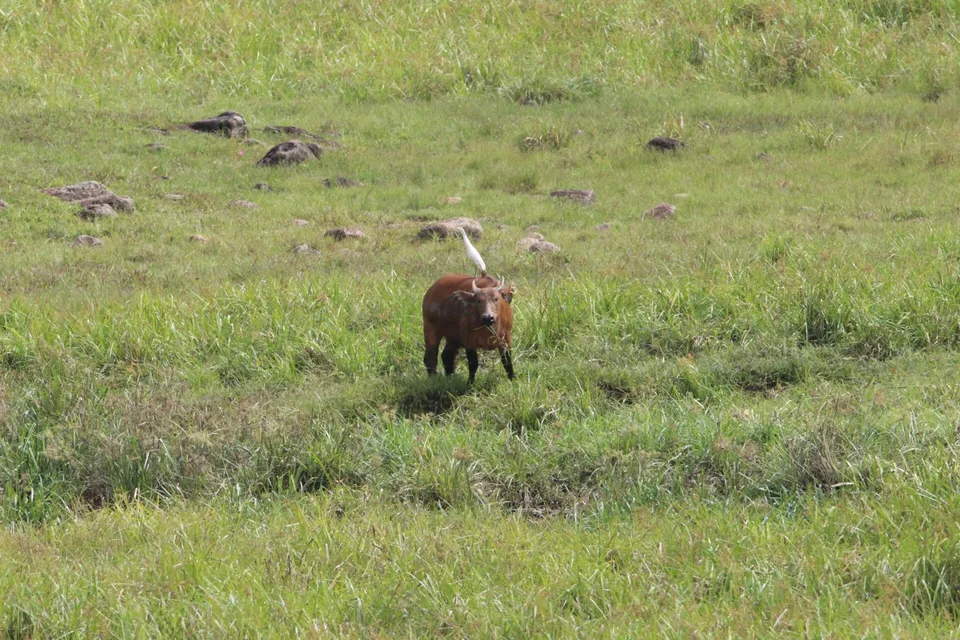
01Strengthening Partnerships- U S and Gabonese Agence National des Parcs Nationaux Complete JCET (9351192)02Strengthening Partnerships- U S and Gabonese Agence National des Parcs Nationaux Complete JCET (9351193)03Strengthening Partnerships- U S and Gabonese Agence National des Parcs Nationaux Complete JCET (9351195)04Strengthening Partnerships- U S and Gabonese Agence National des Parcs Nationaux Complete JCET (9351198)
Deep background
Akanda National Park: land, people and change
Mangroves, tidal flats and coastal forest protect one of Gabon's most important migratory-bird landscapes close to Libreville. The view is only the surface of a longer story of formation, use and change.
4 min readLibreville estuary, Gabon
Akanda National Park is centred on Libreville estuary, where mangroves, tidal flats and coastal forest protect one of Gabon's most important migratory-bird landscapes close to Libreville. The strongest reason to make the journey is to take a small boat through mangrove channels at falling tide.
The strongest visual shorthand for Akanda National Park is the experience described as “Take a small boat through mangrove channels at falling tide”. Behind it lies a more complex relationship between physical processes, settlement and the modern idea of the place as a destination. The changing water level reveals mudflats, roots and feeding birds, turning a short trip from the capital into a completely different world.
Strengthening Partnerships- U S and Gabonese Agence National des Parcs Nationaux Complete JCET (9351198)See the complete photo journal
01
Physical setting
From underlying structure to visible landscape
Understanding Akanda National Park starts below the visible surface. Water level determines the route, wildlife concentration and what ground is accessible. Boat or canoe travel often reveals more than a road-based visit.
The apparent flatness is deceptive. At Akanda National Park, “Mondah Bay mangroves” shows how small differences in water level reorganise habitat, routes and human use. Tidal forest forms a dense coastal maze.
02
Settlement and memory
Routes, livelihoods and belonging
Akanda's mangroves and tidal flats have long supported fishing and shellfish gathering by communities around the Komo estuary. Libreville's expansion brought ports, housing and waste pressure ever closer to these nursery grounds.
Gabon created Akanda National Park in 2002, protecting mangroves, mudflats and coastal forest immediately beside the capital. The park is especially important for migratory shorebirds and marine species using the estuary.
03
Change
A landscape reorganised
Unlike remote forest parks, Akanda's history is urban. Its survival depends on planning, pollution control and recognition that wetlands beside a growing city provide fisheries, flood buffering and carbon storage.
04
On the ground
Landmarks that carry the deeper story
At Akanda National Park, the significance of the feature “Mondah Bay mangroves” goes beyond its visual impact. Tidal forest forms a dense coastal maze. Within Akanda National Park, the feature explains why this destination differs from nearby landscapes.
At Akanda National Park, the feature “Migratory shorebirds” is best understood as part of the surrounding system rather than an isolated stop. Seasonal flocks gather on exposed flats. Within Akanda National Park, it is both an attraction and a record of the processes described above.
At Akanda National Park, the feature “Estuary channels” provides a precise clue to how the landscape works. Boat routes show how freshwater and ocean tides mix. Its position and condition at Akanda National Park connect physical history with the way people use the place now.
05
Present day
A living landscape, not a frozen scene
Akanda National Park changes through the year because weather and biological cycles rearrange what can be seen and used. For Akanda National Park, the most reliable visiting window is Jun-Sep.
For Akanda National Park, the stated visiting window is Jun-Sep, but its practical meaning depends on local weather, water and transport rather than the calendar alone.
Placed within its wider geography, Akanda National Park is not an isolated exception. Beyond the best-known image of Akanda National Park feature, Akanda National Park matters because migratory shorebirds and estuary channels place the destination inside a broader regional story.
Chronology
Key dates
Fishing and shellfish in the estuary
Communities depended on tidal channels and mangrove resources.
Libreville expands
Urban growth and infrastructure increased pressure on wetlands.
Akanda National Park created
Gabon protected a major estuarine system at the edge of the capital.
Travel notes
Plan your visit
Time needed
2-4 days
Getting around
Boat or canoe, plus short walks from landing points
Effort
Easy to moderate
Plan first
Water level, boat and local guide
Time of day
Early morning and late afternoon
Best window
Jun-Sep
Traveller stories
Stories from people who have been here.
First-hand moments, practical notes and overlooked details from Akanda National Park.