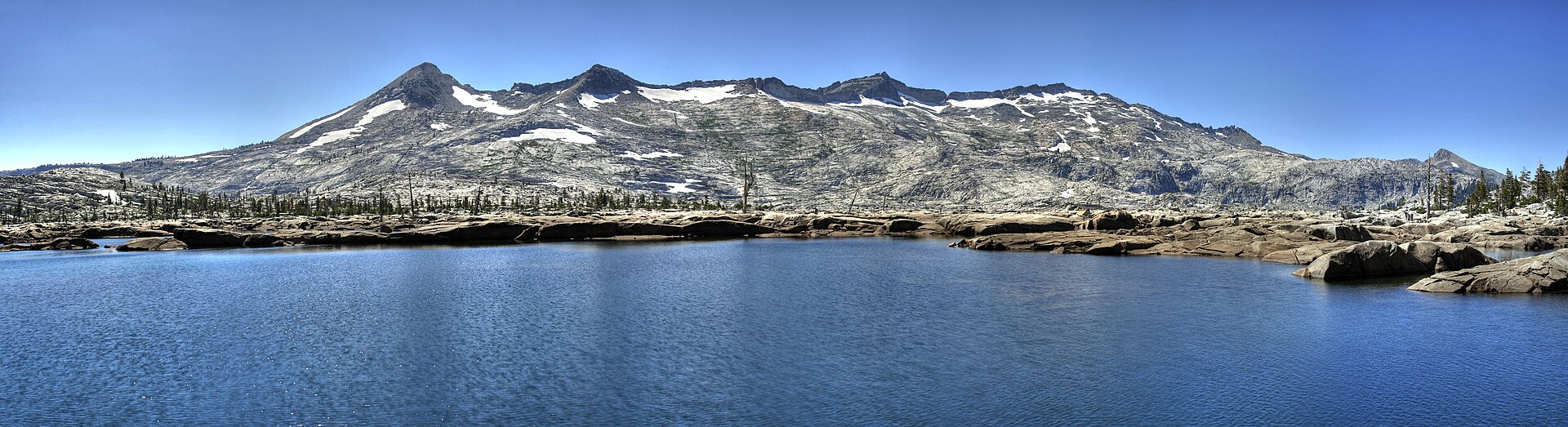
Rainforest

Loango National Park

Lagoon, savanna, rainforest and Atlantic beach meet in one protected coastal mosaic.

RainforestWildlifeRiver travelAtlantic beachIguela Lagoon

Location
Atlantic coast, Gabon
Best window
Jun-Sep, Dec-Feb
Suggested stay
3-5 days
Go for
Rainforest expedition
The reason to go

Look for forest wildlife on an empty ocean beach

The improbable encounter between rainforest mammals and surf is the park's signature, especially where elephants or buffalo emerge from vegetation near the shore.

Use an experienced local guide and begin early, when wildlife activity, water levels and cooler conditions are most favourable.

Look a little closer

Worth discovering

The details that make Loango National Park different.

Destination view
01

Atlantic beach

Long undeveloped beaches front rainforest and lagoon.

Destination view
02

Iguela Lagoon

Boat routes connect wetlands, forest and wildlife areas.

Destination view
03

Akaka forest zone

Flooded forest and river channels support gorillas and elephants.

Photo journal

A closer look at Loango National Park

8 photographs
Landscape and history

The making of Loango National Park

Lagoon, savanna, rainforest and Atlantic beach meet in one protected coastal mosaic. Its character becomes clearer when geology, settlement and modern protection are considered together.

Loango National Park is centred on Atlantic coast, where lagoon, savanna, rainforest and Atlantic beach meet in one protected coastal mosaic. The strongest reason to make the journey is to look for forest wildlife on an empty ocean beach.

The strongest visual shorthand for Loango National Park is the experience described as “Look for forest wildlife on an empty ocean beach”. Behind it lies a more complex relationship between physical processes, settlement and the modern idea of the place as a destination. The improbable encounter between rainforest mammals and surf is the park's signature, especially where elephants or buffalo emerge from vegetation near the shore.

Continue to practical planning
Gabon Loango National Park View of Lodge from waterSee the complete photo journal
Physical setting

How the landscape was assembled

At Loango National Park, the form of the landscape explains many of the choices that came later. Dense canopy limits long views, making rivers, clearings, ridges and waterfalls the key points of orientation. Humidity, rain and trail conditions shape the pace more than the distance alone.

Water is not simply scenery at Loango National Park; it organises erosion, habitat and movement. “Atlantic beach” is where those roles become easiest to separate and understand. Long undeveloped beaches front rainforest and lagoon.

Settlement and memory

Routes, livelihoods and belonging

The Loango coast was part of a wider kingdom and Atlantic trading region long before it became a national park. Vili communities fished, farmed and travelled between lagoons, forests and ocean, while colonial commerce and later oil development altered the coast.

Hunting reserves and wildlife areas were reorganised into Loango National Park in 2002. Images of elephants and buffalo on beaches gave the park an international identity, although those sightings depend on season, disturbance and complex movements between forest and coast.

Change

What altered the old balance

Gorilla habituation, conservation tourism and oil infrastructure now coexist in the wider region. The park's modern history shows how a dramatic wildlife image can attract attention while local land use and industrial pressures remain less visible.

On the ground

Landmarks that carry the deeper story

Start with the feature “Atlantic beach”, because it condenses a much larger part of the story of Loango National Park. Long undeveloped beaches front rainforest and lagoon. Within Loango National Park, the feature explains why this destination differs from nearby landscapes.

At Loango National Park, the feature “Iguela Lagoon” is one of the most useful pieces of visible evidence. Boat routes connect wetlands, forest and wildlife areas. At Loango National Park, it gives a concrete reference point for reading change rather than merely collecting viewpoints.

At Loango National Park, the significance of the feature “Akaka forest zone” goes beyond its visual impact. Flooded forest and river channels support gorillas and elephants. At Loango National Park, the detail links local scale with the wider regional pattern.
Season and scale

Season, scale and the present day

Loango National Park changes through the year because weather and biological cycles rearrange what can be seen and used. For Loango National Park, the most reliable visiting window is Jun-Sep, Dec-Feb.

For Loango National Park, the stated visiting window is Jun-Sep, Dec-Feb, but its practical meaning depends on local weather, water and transport rather than the calendar alone.

Placed within its wider geography, Loango National Park is not an isolated exception. Beyond the best-known image of Loango National Park feature, Loango National Park matters because iguela lagoon and akaka forest zone place the destination inside a broader regional story.

Chronology

Key dates

  1. Vili coast and Loango networks

    Fishing, lagoons and regional trade linked communities across the Atlantic forest margin.

  2. Colonial extraction and oil economy

    Commercial development changed settlements and access along the Gabonese coast.

  3. Loango National Park established

    Several reserves were consolidated into a large coast-to-forest protected area.

Travel notes

Plan your visit

Time needed
3-5 days
Getting around
Local guide, river transport and forest walking
Effort
Moderate to demanding
Plan first
Guide, permits, health preparation and transfers
Time of day
Early morning and late afternoon
Best window
Jun-Sep, Dec-Feb
Traveller stories

Stories from people who have been here.

First-hand moments, practical notes and overlooked details from Loango National Park.

Loading traveller stories…

Browse all traveller stories ↗

Keep exploring

Where next?

All place stories