Equatorial transition zone

Lope

Forest and open savanna meet in a long-lived ecological and archaeological landscape near the Ogooue River.

RainforestSavanna mosaicArchaeology

Location
Central Gabon, Gabon
Best window
Jun-Sep, Dec-Feb
Suggested stay
3-5 days
Go for
Forest-savanna transition
The reason to go

Forest-savanna mosaic

Open grassland and dense forest meet across a complex ecological boundary.

Arrange a local guide or boat where appropriate and use the first or final hours of daylight, when water, wildlife and temperature usually make the experience strongest.

Look a little closer

Worth discovering

The details that make Lope different.

Destination view
01

Forest-savanna mosaic

Open grassland and dense forest meet across a complex ecological boundary.

Destination view
02

Ogooue corridor

The river and railway shape access through central Gabon.

Destination view
03

Rock engravings and archaeology

Long human occupation adds depth beyond the wildlife landscape.

Photo journal

A closer look at Lope

4 photographs
Landscape and history

How Lope became the place it is

Forest and open savanna meet in a long-lived ecological and archaeological landscape near the Ogooue River. Its character becomes clearer when geology, settlement and modern protection are considered together.

Lope occupies a protected landscape in central Gabon. Forest and open savanna meet in a long-lived ecological and archaeological landscape near the Ogooue River. Lope lies between the Ogooue corridor and the wider Congo Basin forest, helping explain regional shifts in vegetation and human movement.
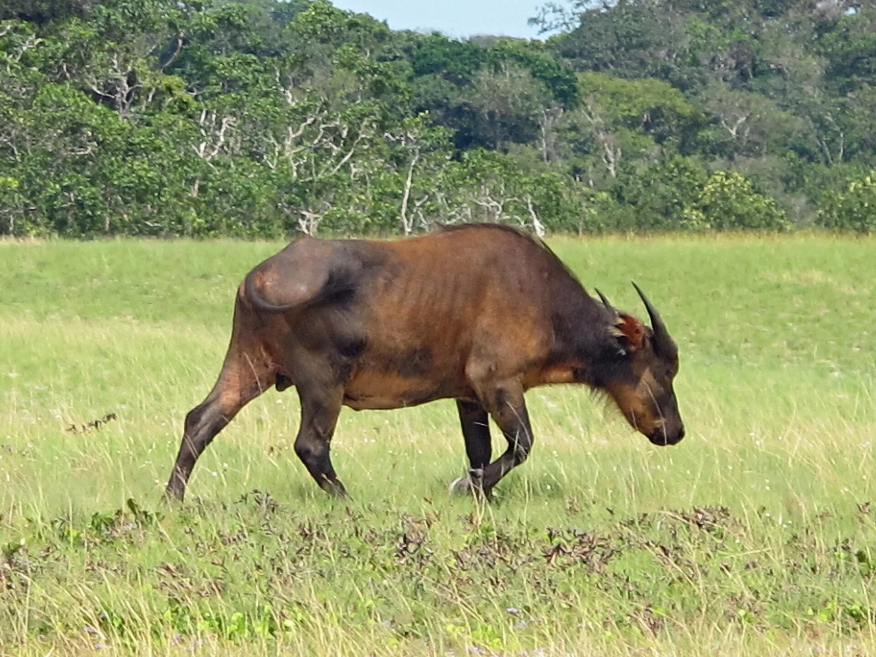
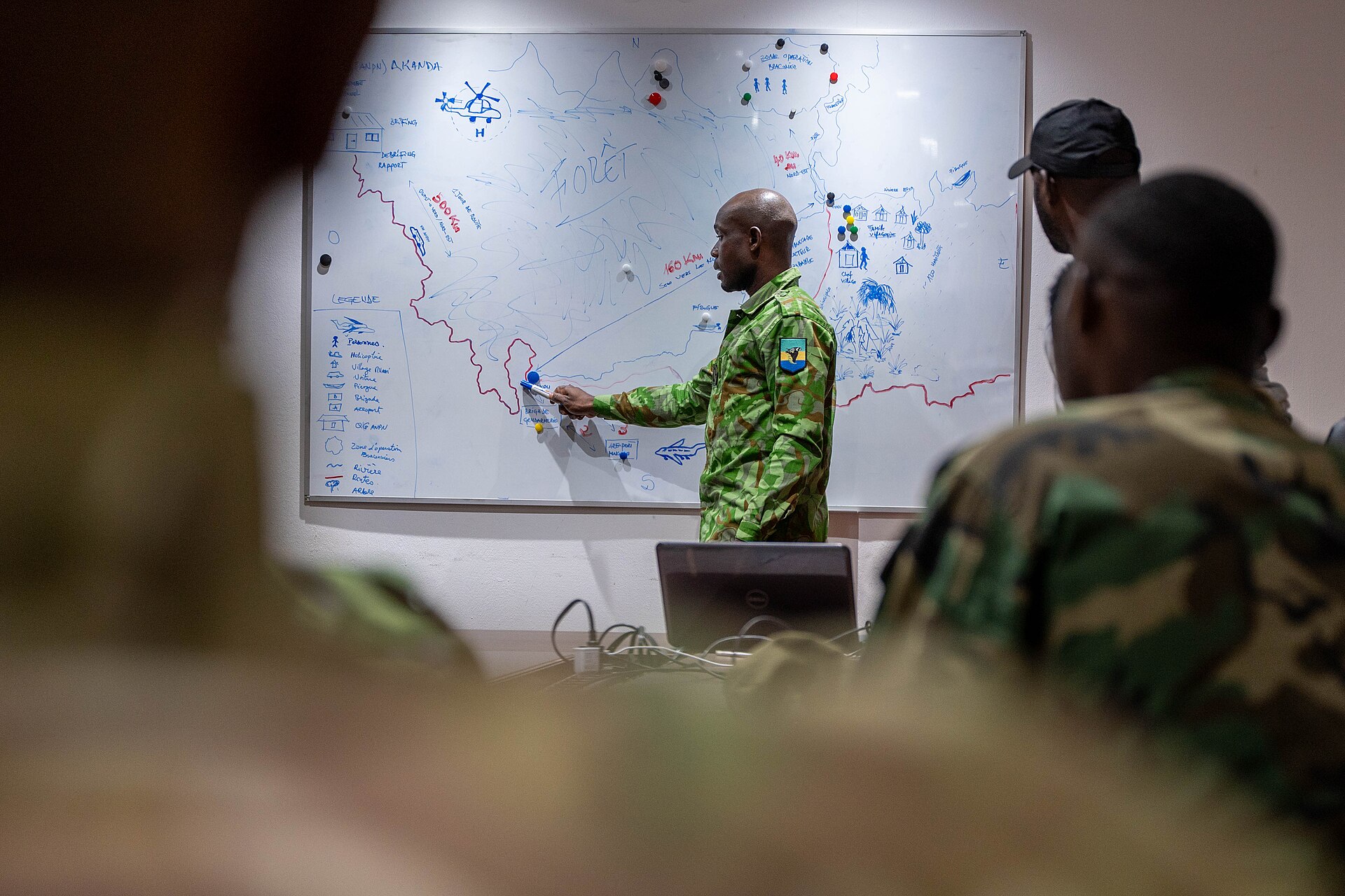
The strongest visual shorthand for Lope is the experience described as “Forest-savanna mosaic”. Behind it lies a more complex relationship between physical processes, settlement and the modern idea of the place as a destination. Open grassland and dense forest meet across a complex ecological boundary.

Continue to practical planning
Dress of ye people of Cape Lope Gonsalvo and Rio GabonSee the complete photo journal
Physical setting

From underlying structure to visible landscape

At Lope, the form of the landscape explains many of the choices that came later. Dense equatorial forest alternates with grass savannas, creating sharp habitat boundaries and long views unusual in the Congo Basin.

Forest history at Lope is often visible through openings, old routes and changes in species rather than monuments. “Forest-savanna mosaic” is one such point of evidence. Open grassland and dense forest meet across a complex ecological boundary.

Cultural landscape

How people learned to live here

The cultural layer of Lope is easiest to read in homes, fields, paths and local institutions. Archaeological evidence, railway settlements and river routes show that people have moved through and used the landscape for millennia.

The role of “Ogooue corridor” is especially revealing at Lope. The river and railway shape access through central Gabon. In the history of Lope, it connects the wider regional context with a specific place that can still be examined today.

Modern history

A landscape reorganised

Formal protection changed how Lope was described and managed. At Lope, new boundaries, visitor rules and conservation priorities created a public identity that still has to coexist with settlements, customary use and economic pressures. At Lope, that transition remains visible in the contrast between older working features and visitor infrastructure.

Field notes

What to read in the landscape

At Lope, the feature “Forest-savanna mosaic” is best understood as part of the surrounding system rather than an isolated stop. Open grassland and dense forest meet across a complex ecological boundary. For Lope, that relationship is more informative than treating the feature only as a photograph or checklist item.

At Lope, the feature “Ogooue corridor” is one of the most useful pieces of visible evidence. The river and railway shape access through central Gabon. At Lope, it gives a concrete reference point for reading change rather than merely collecting viewpoints.

Look closely at the feature “Rock engravings and archaeology” in Lope; it carries information that a panoramic view can miss. Long human occupation adds depth beyond the wildlife landscape. Within Lope, it is both an attraction and a record of the processes described above.

Present day

What continues to change

At Lope, light, water and temperature reveal different structures at different times of year. Drier periods can improve access and wildlife observation; tropical rain and road conditions remain important practical variables.

For Lope, the main seasonal constraint is: the strongest planning window is Jun-Sep, Dec-Feb. For Lope, outside it, check weather, daylight, road or ferry schedules and seasonal closures before committing to a fixed route.

For Lope, one practical detail matters: opening days can be more limiting than travel time. For Lope, check the principal site first, then organise the wider route around it.

Placed within its wider geography, Lope is not an isolated exception. Lope lies between the Ogooue corridor and the wider Congo Basin forest, helping explain regional shifts in vegetation and human movement.
Travel notes

Plan your visit

Time needed
3-5 days
Getting around
Walking locally, with a car or regional transport between stops
Effort
Moderate
Plan first
Opening days and any limited-entry sites
Time of day
Morning and late afternoon
Best window
Jun-Sep, Dec-Feb
Traveller stories

Stories from people who have been here.

First-hand moments, practical notes and overlooked details from Lope.

Loading traveller stories…

Browse all traveller stories ↗

Keep exploring

Where next?

All place stories