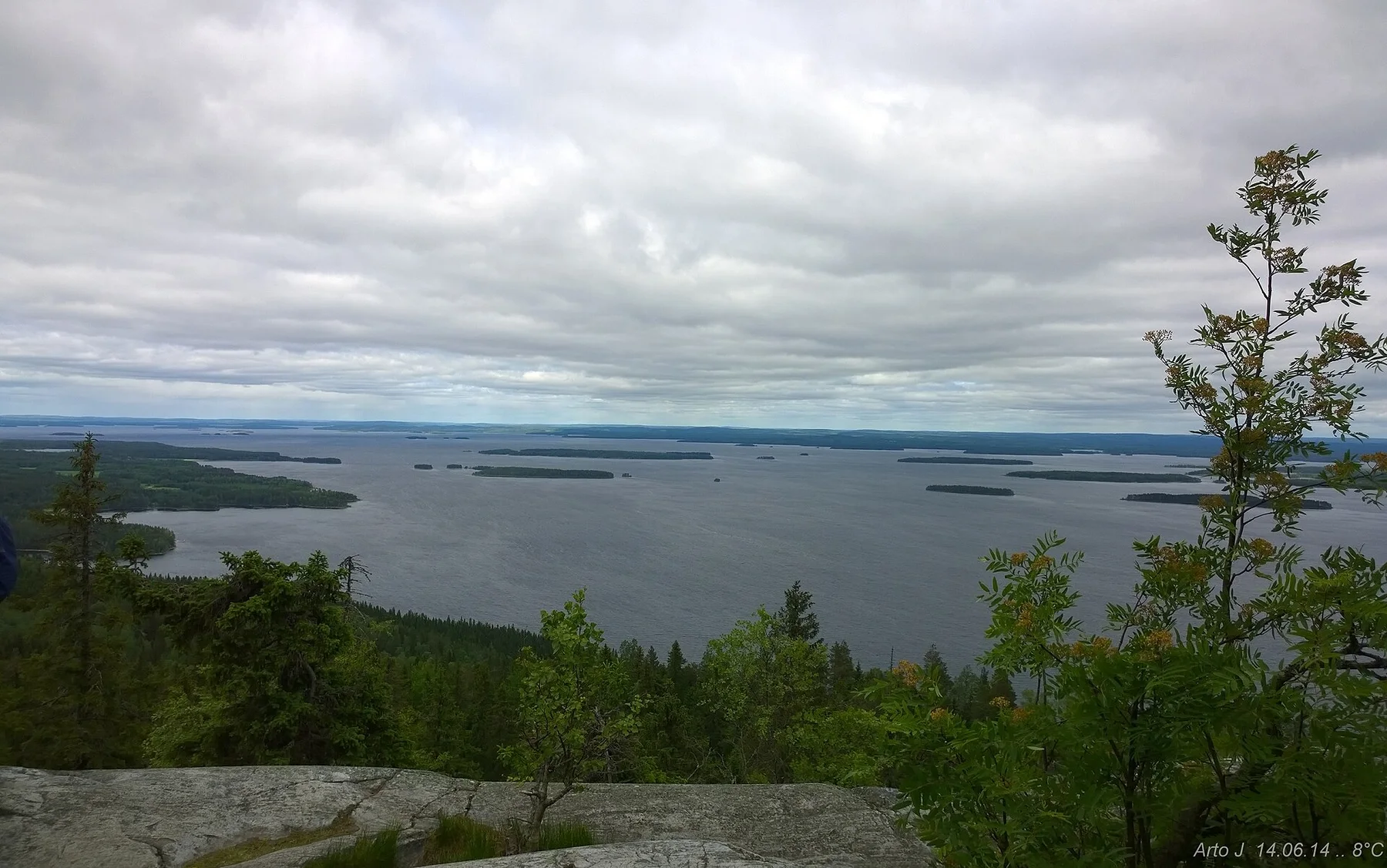
A single visit to Aland Islands captures only one phase of its annual cycle. Late spring and summer bring long daylight, calmer ferry schedules and the warmest conditions for cycling or moving between islands. Early autumn is quieter and often clearer, though wind becomes more decisive. Winter changes the archipelago completely as services reduce and ice alters the relationship between land and sea.
For Aland Islands, the main seasonal constraint is: the strongest planning window is May-Sep. For Aland Islands, outside it, check weather, daylight, road or ferry schedules and seasonal closures before committing to a fixed route.
For Aland Islands, one practical detail matters: distances, fuel, food and mobile coverage can be less predictable than the map suggests. For Aland Islands, carry offline maps and keep a margin in the schedule.
Placed within its wider geography, Aland Islands is not an isolated exception. For Aland Islands, the wider context shows that, the islands sit between Stockholm and the Finnish coast, making them a natural bridge within the northern Baltic. For Aland Islands, their scale is best understood as a network rather than a single destination: Mariehamn, rural main islands and the outer archipelago each show a different layer of maritime life.