Archipelago ferries
Short crossings turn movement between islands into a defining part of the journey.
Plan the least frequent boat, ferry or exposed coastal section first. Use early or late light and keep a weather alternative during May-Sep.
Ferries, forested islands, granite skerries and small coastal communities create a quieter approach to Finland’s vast southwestern archipelago.
Short crossings turn movement between islands into a defining part of the journey.
Plan the least frequent boat, ferry or exposed coastal section first. Use early or late light and keep a weather alternative during May-Sep.
The details that make Kimitoön Archipelago different.
Short crossings turn movement between islands into a defining part of the journey.
Low polished rock and sparse vegetation create the characteristic Baltic shoreline.
Small ports connect local settlement with the wider island network.
Ferries, forested islands, granite skerries and small coastal communities create a quieter approach to Finland’s vast southwestern archipelago. The deeper story links its visible features with the people and changes behind them.
Kimitoön Archipelago is best approached through the relationship between its setting and its lived landscape. Kimitoön and the surrounding islands sit between the Finnish mainland and the outer Archipelago Sea. Roads, bridges and ferries create a network rather than a single route, with each crossing revealing a slightly different balance of forest, farmland and open Baltic water.
Many visits to Kimitoön Archipelago begin with the experience described as “Archipelago ferries”. The more revealing question is why it exists here, how people used the surrounding ground and what remains visible from earlier phases. Short crossings turn movement between islands into a defining part of the journey.
Continue to practical planningAt Kimitoön Archipelago, the physical story begins with the structure of the ground. Low granite islands, reed-lined bays and smooth coastal rock dominate the scenery. The terrain is subtle rather than dramatic, but long summer light and the repetition of water passages create a strong sense of spatial depth.
The map understates the role of the sea. At Kimitoön Archipelago, “Archipelago ferries” makes clear that water is both a boundary and the route through which settlements, wildlife and outside connections developed. Short crossings turn movement between islands into a defining part of the journey.
At Kimitoön Archipelago, human history is written into settlement and land use rather than separated from the scenery. Swedish- and Finnish-speaking communities, small harbours and seasonal cottages give the region a lived-in character. Boat building, fishing and ferry connections remain part of everyday logistics rather than purely visitor infrastructure.
At Kimitoön Archipelago, “Granite skerries” should not be treated as a decorative detail. Low polished rock and sparse vegetation create the characteristic Baltic shoreline. The feature records how construction, movement or livelihood adapted to local conditions at Kimitoön Archipelago.
The decisive modern change at Kimitoön Archipelago was access. At Kimitoön Archipelago, transport and visitor infrastructure made the landscape easier to reach while concentrating pressure at the few points where roads, boats or trails enter it. At Kimitoön Archipelago, the current visitor experience is the newest layer rather than the whole history.
At Kimitoön Archipelago, the feature “Archipelago ferries” is one of the most useful pieces of visible evidence. Short crossings turn movement between islands into a defining part of the journey. Within Kimitoön Archipelago, it is both an attraction and a record of the processes described above.
At Kimitoön Archipelago, the feature “Granite skerries” is best understood as part of the surrounding system rather than an isolated stop. Low polished rock and sparse vegetation create the characteristic Baltic shoreline. Within Kimitoön Archipelago, the feature explains why this destination differs from nearby landscapes.
At Kimitoön Archipelago, the feature “Village harbours” is best understood as part of the surrounding system rather than an isolated stop. Small ports connect local settlement with the wider island network. For Kimitoön Archipelago, that relationship is more informative than treating the feature only as a photograph or checklist item.
Kimitoön Archipelago changes through the year because weather and biological cycles rearrange what can be seen and used. The main travel season runs from late spring through early autumn, when ferries operate frequently and daylight is long. September can be especially calm, while winter changes the water-based geography through ice and reduced services.
For Kimitoön Archipelago, the main seasonal constraint is: the strongest planning window is May-Sep. For Kimitoön Archipelago, outside it, check weather, daylight, road or ferry schedules and seasonal closures before committing to a fixed route.
For Kimitoön Archipelago, one practical detail matters: ferries, tunnels and weather can change the order of the day. For Kimitoön Archipelago, build the route around the least frequent connection, not the closest viewpoint.
Placed within its wider geography, Kimitoön Archipelago is not an isolated exception. For Kimitoön Archipelago, the wider context shows that, kimitoön is one part of the much larger Archipelago Sea extending toward Turku and Åland. For Kimitoön Archipelago, exploring it helps reveal how southwestern Finland is structured by water corridors as much as roads.

A low Baltic archipelago of red granite, pine forest, ferries and small maritime communities spread between Finland and Sweden.
Explore this place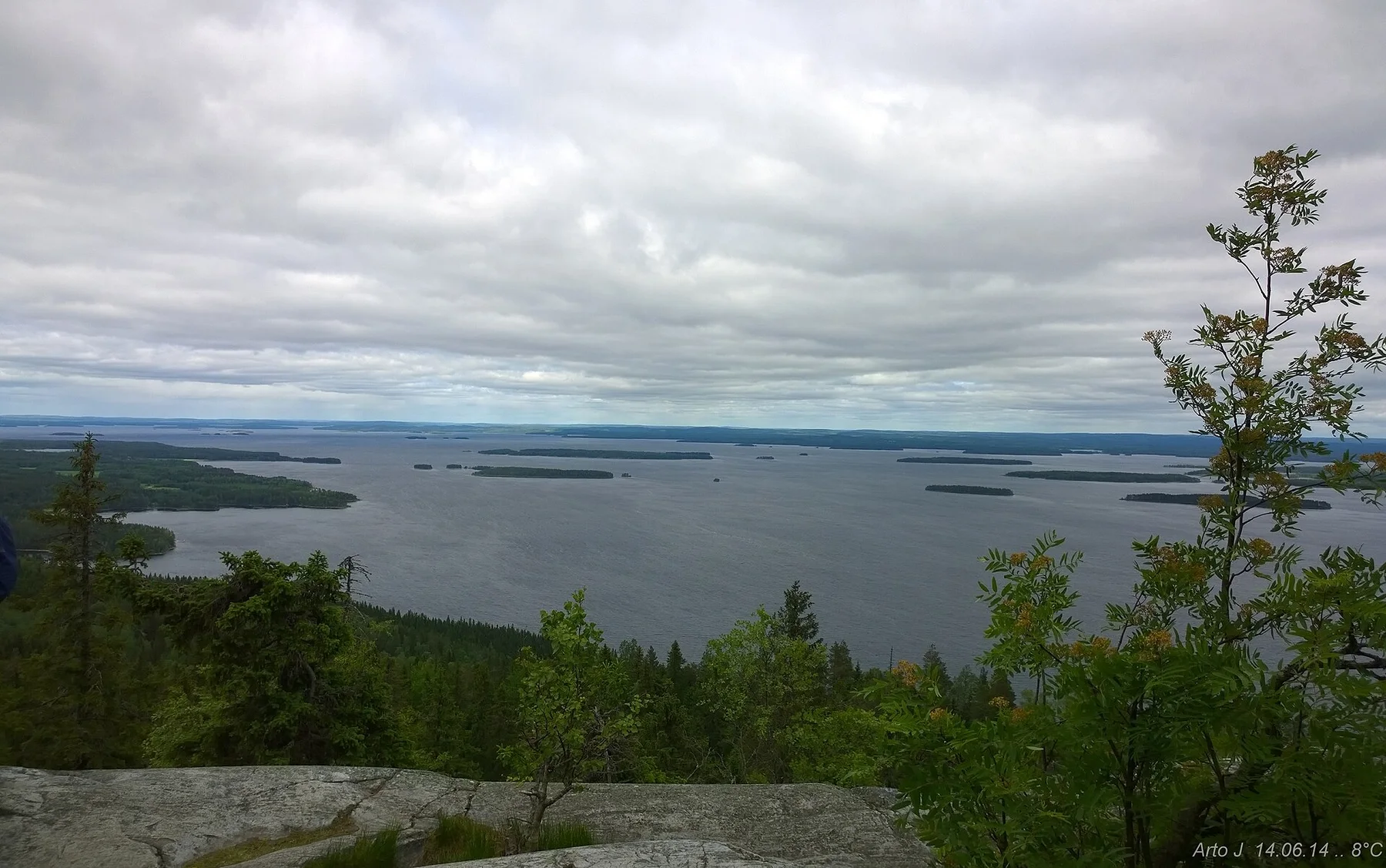
A forested ridge above Lake Pielinen where exposed quartzite summits open across a vast mosaic of water, islands and boreal woodland.
Explore this place
A broad Atlantic edge of cliffs, dunes, fishing settlements and long beaches, with inland fields and cork landscapes close behind the coast.
Explore this place