Stone country
Escarpments and rock shelters hold extensive art and cultural sites.
Plan the least frequent boat, ferry or exposed coastal section first. Use early or late light and keep a weather alternative during May-Sep.
Escarpments, wetlands and remote coasts form a vast Aboriginal cultural landscape in northern Australia.
Escarpments and rock shelters hold extensive art and cultural sites.
Plan the least frequent boat, ferry or exposed coastal section first. Use early or late light and keep a weather alternative during May-Sep.
The details that make Arnhem Land different.
Escarpments and rock shelters hold extensive art and cultural sites.
Seasonal water supports birds, fish and community livelihoods.
Permits and local guides ensure that travel respects living cultural authority.
Escarpments, wetlands and remote coasts form a vast Aboriginal cultural landscape in northern Australia. Its character becomes clearer when geology, settlement and modern protection are considered together.
Arnhem Land occupies a large region east of Darwin under Aboriginal ownership. Escarpments, wetlands and remote coasts form a vast Aboriginal cultural landscape in northern Australia. Arnhem Land connects the Arafura Sea, Kakadu escarpment and Gulf of Carpentaria through ecological and cultural systems that cross modern park boundaries.
Visitors often encounter Arnhem Land through the idea of “Stone country”, but the destination is more than that single scene. Its landscape carries evidence of work, movement, adaptation and environmental change. Escarpments and rock shelters hold extensive art and cultural sites.
Continue to practical planningBefore roads, settlements or protected-area boundaries, the terrain of Arnhem Land set the basic terms. Sandstone plateaus, monsoon forest, floodplains and tidal coast create strong seasonal contrasts across a very large area.
The map understates the role of the sea. At Arnhem Land, “Stone country” makes clear that water is both a boundary and the route through which settlements, wildlife and outside connections developed. Escarpments and rock shelters hold extensive art and cultural sites.
At Arnhem Land, daily life gives the terrain a historical meaning that a viewpoint alone cannot provide. Access is governed by Traditional Owners, permits and local communities; art, language and land management are fundamental to the region’s identity.
A close look at “Floodplain wetlands” makes the cultural layer of Arnhem Land more concrete. Seasonal water supports birds, fish and community livelihoods. At Arnhem Land, the surviving form links present-day identity with earlier work and settlement.
The decisive modern change at Arnhem Land was access. At Arnhem Land, transport and visitor infrastructure made the landscape easier to reach while concentrating pressure at the few points where roads, boats or trails enter it. At Arnhem Land, the consequences are clearest where traditional use, protection and tourism occupy the same ground.
Look closely at the feature “Stone country” in Arnhem Land; it carries information that a panoramic view can miss. Escarpments and rock shelters hold extensive art and cultural sites. Within Arnhem Land, the feature explains why this destination differs from nearby landscapes.
Start with the feature “Floodplain wetlands”, because it condenses a much larger part of the story of Arnhem Land. Seasonal water supports birds, fish and community livelihoods. For Arnhem Land, that relationship is more informative than treating the feature only as a photograph or checklist item.
Look closely at the feature “Community-led access” in Arnhem Land; it carries information that a panoramic view can miss. Permits and local guides ensure that travel respects living cultural authority. Within Arnhem Land, it is both an attraction and a record of the processes described above.
Arnhem Land changes through the year because weather and biological cycles rearrange what can be seen and used. The dry season offers the broadest practical access, while wet-season flooding can isolate roads and communities.
For Arnhem Land, the main seasonal constraint is: the strongest planning window is May-Sep. For Arnhem Land, outside it, check weather, daylight, road or ferry schedules and seasonal closures before committing to a fixed route.
For Arnhem Land, one practical detail matters: distances, fuel, food and mobile coverage can be less predictable than the map suggests. For Arnhem Land, carry offline maps and keep a margin in the schedule.
Placed within its wider geography, Arnhem Land is not an isolated exception. Arnhem Land connects the Arafura Sea, Kakadu escarpment and Gulf of Carpentaria through ecological and cultural systems that cross modern park boundaries.
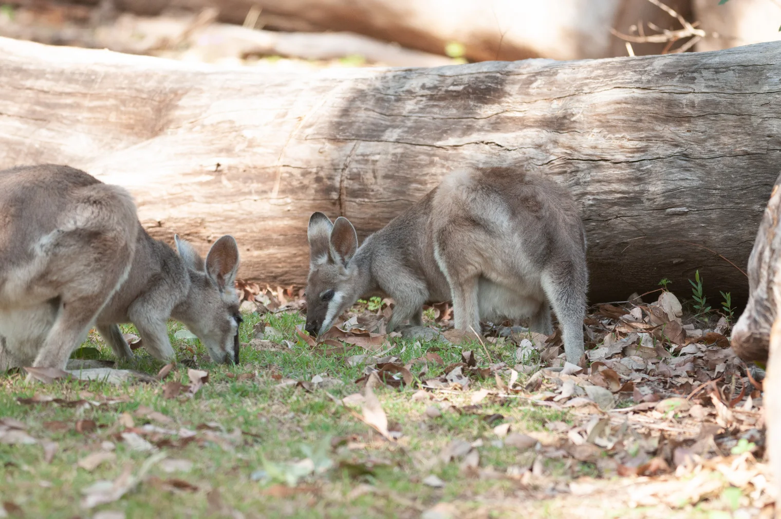
A deep sandstone gorge, side canyons and Aboriginal cultural sites cut into the central Queensland highlands.
Explore this place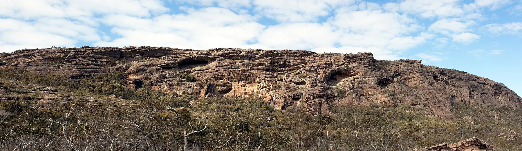
Sandstone ranges, waterfalls and Aboriginal cultural sites rise from the plains of western Victoria.
Explore this place
Cool volcanic uplands, rainforest, crater lakes, waterfalls and farming towns rise behind tropical north Queensland coast.
Explore this place