Main Gorge creek
Repeated crossings reveal a green corridor beneath high walls.
Start early and make this the first exposed stop of the day. Keep a lower route ready if cloud, heat, wind or trail conditions change during Apr-Sep.
A deep sandstone gorge, side canyons and Aboriginal cultural sites cut into the central Queensland highlands.
Repeated crossings reveal a green corridor beneath high walls.
Start early and make this the first exposed stop of the day. Keep a lower route ready if cloud, heat, wind or trail conditions change during Apr-Sep.
The details that make Carnarvon Gorge different.
Repeated crossings reveal a green corridor beneath high walls.
Rock-art sites add cultural depth to the geological setting.
A narrow entrance opens into a large enclosed chamber.
A deep sandstone gorge, side canyons and Aboriginal cultural sites cut into the central Queensland highlands. The deeper story links its visible features with the people and changes behind them.
Carnarvon Gorge occupies a forested gorge within the Great Dividing Range. A deep sandstone gorge, side canyons and Aboriginal cultural sites cut into the central Queensland highlands. Carnarvon connects Queensland’s inland sandstone belt with woodland, agricultural plains and other gorge systems farther north and south.
The strongest visual shorthand for Carnarvon Gorge is the experience described as “Main Gorge creek”. Behind it lies a more complex relationship between physical processes, settlement and the modern idea of the place as a destination. Repeated crossings reveal a green corridor beneath high walls.
Continue to practical planningAt Carnarvon Gorge, the physical story begins with the structure of the ground. High sandstone walls shelter a permanent creek, cycads, palms and narrow side gorges within a drier regional landscape.
Colour and form at Carnarvon Gorge are the result of long physical processes. “Main Gorge creek” helps distinguish the underlying structure from the surface image seen in photographs. Repeated crossings reveal a green corridor beneath high walls.
The cultural layer of Carnarvon Gorge is easiest to read in homes, fields, paths and local institutions. Stencil art, engravings and occupation sites reflect long Aboriginal use, while walking routes follow the same water corridor through the gorge.
A close look at “Cathedral Cave and Art Gallery” makes the cultural layer of Carnarvon Gorge more concrete. Rock-art sites add cultural depth to the geological setting. At Carnarvon Gorge, the surviving form links present-day identity with earlier work and settlement.
The modern identity of Carnarvon Gorge emerged as livelihoods, transport and outside attention changed their balance. At Carnarvon Gorge, the present destination was assembled from places that previously served practical, seasonal or community purposes. At Carnarvon Gorge, that transition remains visible in the contrast between older working features and visitor infrastructure.
At Carnarvon Gorge, the feature “Main Gorge creek” is one of the most useful pieces of visible evidence. Repeated crossings reveal a green corridor beneath high walls. At Carnarvon Gorge, it gives a concrete reference point for reading change rather than merely collecting viewpoints.
At Carnarvon Gorge, the feature “Cathedral Cave and Art Gallery” is one of the most useful pieces of visible evidence. Rock-art sites add cultural depth to the geological setting. At Carnarvon Gorge, the detail links local scale with the wider regional pattern.
Look closely at the feature “Amphitheatre” in Carnarvon Gorge; it carries information that a panoramic view can miss. A narrow entrance opens into a large enclosed chamber. At Carnarvon Gorge, the detail links local scale with the wider regional pattern.
At Carnarvon Gorge, light, water and temperature reveal different structures at different times of year. Cooler dry-season months are most comfortable; rain can raise creek crossings and summer heat is significant.
For Carnarvon Gorge, the main seasonal constraint is: the strongest planning window is Apr-Sep. For Carnarvon Gorge, outside it, check weather, daylight, road or ferry schedules and seasonal closures before committing to a fixed route.
For Carnarvon Gorge, one practical detail matters: cloud, wind and trail conditions can change quickly. For Carnarvon Gorge, put the highest or most exposed stop first and keep a lower-level alternative.
Placed within its wider geography, Carnarvon Gorge is not an isolated exception. For Carnarvon Gorge, the wider context shows that, carnarvon connects Queensland’s inland sandstone belt with woodland, agricultural plains and other gorge systems farther north and south.

Escarpments, wetlands and remote coasts form a vast Aboriginal cultural landscape in northern Australia.
Explore this place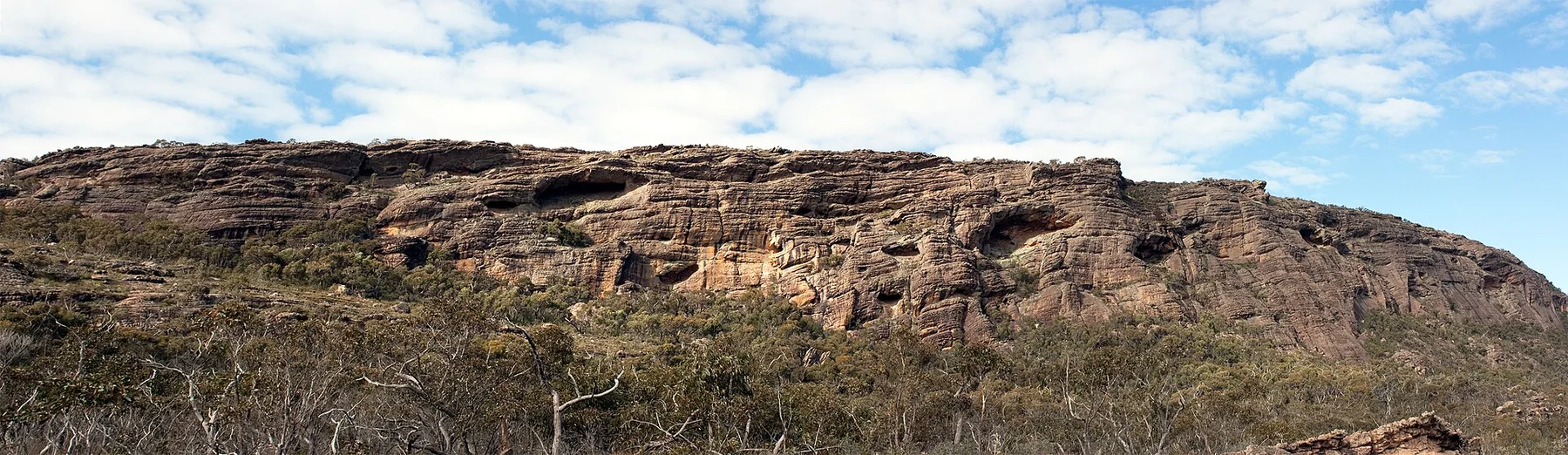
Sandstone ranges, waterfalls and Aboriginal cultural sites rise from the plains of western Victoria.
Explore this place
Cool volcanic uplands, rainforest, crater lakes, waterfalls and farming towns rise behind tropical north Queensland coast.
Explore this place