Tidal islands
Low islands and mudflats support immense concentrations of waterbirds.
Plan the least frequent boat, ferry or exposed coastal section first. Use early or late light and keep a weather alternative during Nov-Mar.
Desert dunes, tidal flats and rich coastal water meet along one of West Africa’s most important migratory bird landscapes.
Low islands and mudflats support immense concentrations of waterbirds.
Plan the least frequent boat, ferry or exposed coastal section first. Use early or late light and keep a weather alternative during Nov-Mar.
The details that make Banc d’Arguin different.
Low islands and mudflats support immense concentrations of waterbirds.
Coastal communities provide the human context of the protected area.
Dunes and salt water meet with almost no transitional vegetation.
Desert dunes, tidal flats and rich coastal water meet along one of West Africa’s most important migratory bird landscapes. The view is only the surface of a longer story of formation, use and change.
Banc d’Arguin occupies a long protected coastal zone north of Nouakchott. Desert dunes, tidal flats and rich coastal water meet along one of West Africa’s most important migratory bird landscapes. The park is part of the eastern Atlantic flyway and connects Saharan landscapes with marine ecosystems extending toward Senegal and the Canary Current.
Visitors often encounter Banc d’Arguin through the idea of “Tidal islands”, but the destination is more than that single scene. Its landscape carries evidence of work, movement, adaptation and environmental change. Low islands and mudflats support immense concentrations of waterbirds.
Continue to practical planningAt Banc d’Arguin, the form of the landscape explains many of the choices that came later. Shallow bays, islands, seagrass and open desert form an unusually productive margin between the Sahara and the Atlantic.
Because land is limited, every ridge, bay and passage acquires practical importance. At Banc d’Arguin, “Tidal islands” is where that compressed geography becomes easiest to read. Low islands and mudflats support immense concentrations of waterbirds.
At Banc d’Arguin, people learned to work with the landscape limits rather than arriving after its story was complete. Imraguen fishing communities maintain a distinctive relationship with the coast, using local knowledge of tides, fish movement and shallow water.
The role of “Imraguen fishing culture” is especially revealing at Banc d’Arguin. Coastal communities provide the human context of the protected area. In the history of Banc d’Arguin, it connects the wider regional context with a specific place that can still be examined today.
Formal protection changed how Banc d’Arguin was described and managed. At Banc d’Arguin, new boundaries, visitor rules and conservation priorities created a public identity that still has to coexist with settlements, customary use and economic pressures. At Banc d’Arguin, that transition remains visible in the contrast between older working features and visitor infrastructure.
Start with the feature “Tidal islands”, because it condenses a much larger part of the story of Banc d’Arguin. Low islands and mudflats support immense concentrations of waterbirds. At Banc d’Arguin, it gives a concrete reference point for reading change rather than merely collecting viewpoints.
At Banc d’Arguin, the significance of the feature “Imraguen fishing culture” goes beyond its visual impact. Coastal communities provide the human context of the protected area. At Banc d’Arguin, it gives a concrete reference point for reading change rather than merely collecting viewpoints.
At Banc d’Arguin, the significance of the feature “Desert-sea boundary” goes beyond its visual impact. Dunes and salt water meet with almost no transitional vegetation. At Banc d’Arguin, it gives a concrete reference point for reading change rather than merely collecting viewpoints.
At Banc d’Arguin, light, water and temperature reveal different structures at different times of year. Winter is cooler and important for migratory birds; access is remote and requires careful arrangements, permits and current local information.
For Banc d’Arguin, the main seasonal constraint is: the strongest planning window is Nov-Mar. For Banc d’Arguin, outside it, check weather, daylight, road or ferry schedules and seasonal closures before committing to a fixed route.
For Banc d’Arguin, one practical detail matters: distances, fuel, food and mobile coverage can be less predictable than the map suggests. For Banc d’Arguin, carry offline maps and keep a margin in the schedule.
Placed within its wider geography, Banc d’Arguin is not an isolated exception. For Banc d’Arguin, the wider context shows that, the park is part of the eastern Atlantic flyway and connects Saharan landscapes with marine ecosystems extending toward Senegal and the Canary Current.

Low islands, tidal shallows and traditional fishing structures create a subtle maritime landscape off Tunisia’s eastern coast.
Explore this place
Two long, low coral islands support coconut groves, a small community and bright lagoon water far north of Mauritius.
Explore this place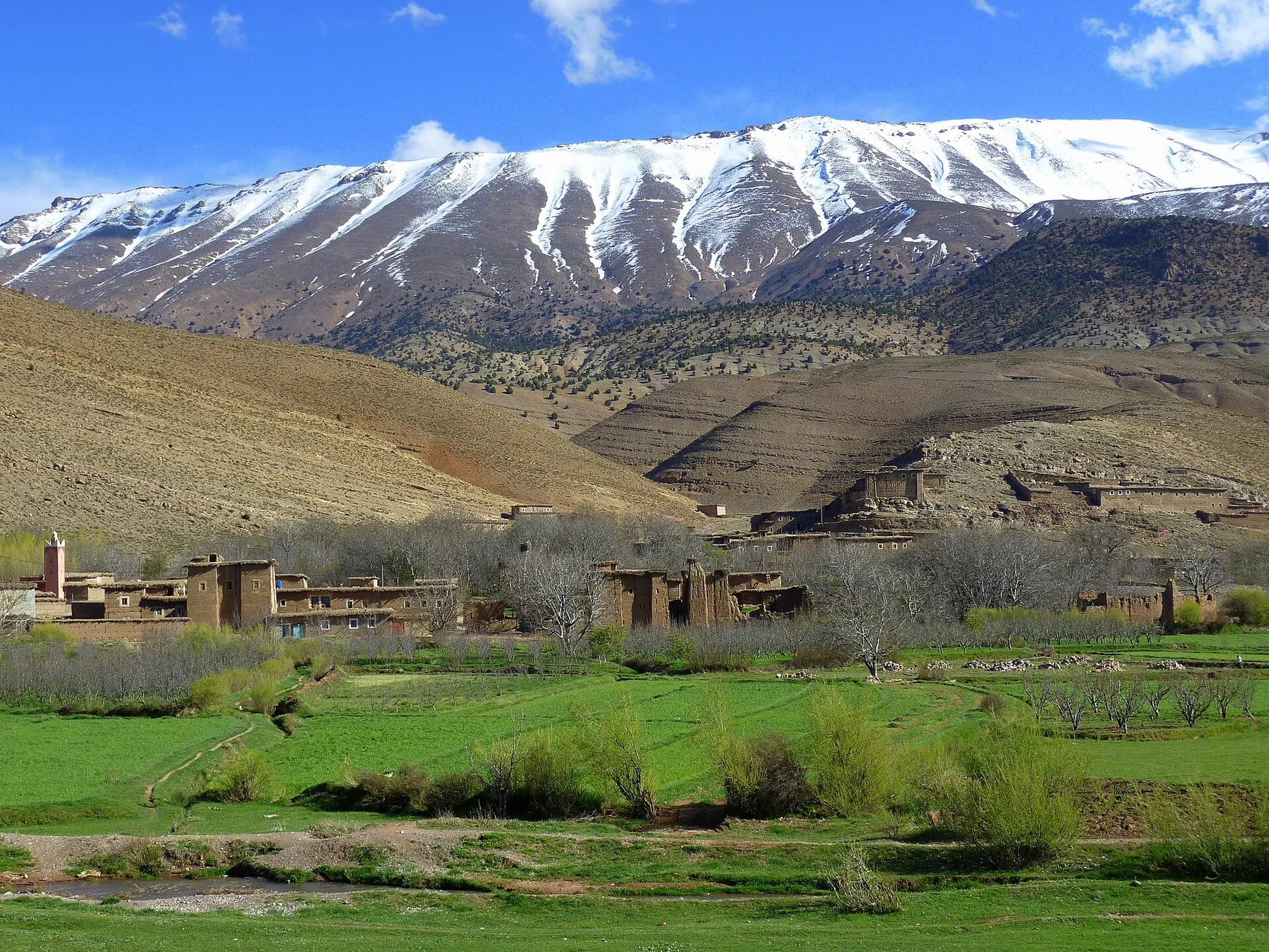
Irrigated fields, earthen villages and high mountain ridges form a broad inhabited valley in Morocco's central High Atlas.
Explore this place