Tidal archipelago
Water levels continually reshape routes, shorelines and access between islands.
Plan the least frequent boat, ferry or exposed coastal section first. Use early or late light and keep a weather alternative during Nov-May.
A low tropical archipelago of mangroves, tidal flats, sacred islands and communities whose lives follow the rhythm of the sea.
Water levels continually reshape routes, shorelines and access between islands.
Plan the least frequent boat, ferry or exposed coastal section first. Use early or late light and keep a weather alternative during Nov-May.
The details that make Bijagos Archipelago different.
Water levels continually reshape routes, shorelines and access between islands.
Sacred areas and local rules preserve cultural and ecological relationships.
Mangroves, flats and shallow water support one of West Africa's richest coastal systems.
A low tropical archipelago of mangroves, tidal flats, sacred islands and communities whose lives follow the rhythm of the sea. The view is only the surface of a longer story of formation, use and change.
The Bijagos Archipelago contains dozens of islands and islets off Guinea-Bissau, surrounded by wide tidal flats, channels and mangrove systems. Only part of the archipelago is permanently inhabited, and movement depends on tides, boats and local knowledge. Ecological significance and cultural identity are tightly linked across this dispersed island world.
Visitors often encounter Bijagos Archipelago through the idea of “Tidal archipelago”, but the destination is more than that single scene. Its landscape carries evidence of work, movement, adaptation and environmental change. Water levels continually reshape routes, shorelines and access between islands.
Continue to practical planningAt Bijagos Archipelago, the physical story begins with the structure of the ground. Mangroves protect channels and nursery habitats, while beaches, savanna and palm landscapes occupy higher ground. Large tidal ranges expose extensive mudflats used by migratory birds. Marine turtles, manatees and saltwater-adapted hippopotamuses contribute to the archipelago's unusual biodiversity, though wildlife is distributed unevenly among protected islands.
Because land is limited, every ridge, bay and passage acquires practical importance. At Bijagos Archipelago, “Tidal archipelago” is where that compressed geography becomes easiest to read. Water levels continually reshape routes, shorelines and access between islands.
At Bijagos Archipelago, people learned to work with the landscape limits rather than arriving after its story was complete. Bijago communities maintain distinctive social institutions, ceremonies and relationships with sacred places. Rice cultivation, fishing and collection of coastal resources shape seasonal work. Some islands restrict access or activities according to community rules, making cultural permission as important as environmental regulation.
The role of “Community governance” is especially revealing at Bijagos Archipelago. Sacred areas and local rules preserve cultural and ecological relationships. In the history of Bijagos Archipelago, it connects the wider regional context with a specific place that can still be examined today.
Formal protection changed how Bijagos Archipelago was described and managed. At Bijagos Archipelago, new boundaries, visitor rules and conservation priorities created a public identity that still has to coexist with settlements, customary use and economic pressures. Bijagos Archipelago should therefore be read as an evolving cultural landscape rather than a timeless scene.
At Bijagos Archipelago, the significance of the feature “Tidal archipelago” goes beyond its visual impact. Water levels continually reshape routes, shorelines and access between islands. For Bijagos Archipelago, that relationship is more informative than treating the feature only as a photograph or checklist item.
Start with the feature “Community governance”, because it condenses a much larger part of the story of Bijagos Archipelago. Sacred areas and local rules preserve cultural and ecological relationships. Within Bijagos Archipelago, it is both an attraction and a record of the processes described above.
At Bijagos Archipelago, the significance of the feature “Mangrove seascape” goes beyond its visual impact. Mangroves, flats and shallow water support one of West Africa's richest coastal systems. At Bijagos Archipelago, it gives a concrete reference point for reading change rather than merely collecting viewpoints.
Bijagos Archipelago changes through the year because weather and biological cycles rearrange what can be seen and used. The dry season from November to May provides more reliable sea travel and clearer access between islands. Rainy months intensify vegetation and agricultural work but can complicate transport. Tides affect every season, determining landing points, fishing activity and the practical timing of journeys.
For Bijagos Archipelago, the main seasonal constraint is: the strongest planning window is Nov-May. For Bijagos Archipelago, outside it, check weather, daylight, road or ferry schedules and seasonal closures before committing to a fixed route.
For Bijagos Archipelago, one practical detail matters: ferries, tunnels and weather can change the order of the day. For Bijagos Archipelago, build the route around the least frequent connection, not the closest viewpoint.
Placed within its wider geography, Bijagos Archipelago is not an isolated exception. For Bijagos Archipelago, the wider context shows that, the archipelago connects with the mainland estuaries of Guinea-Bissau and the wider West African coastal migration route. For Bijagos Archipelago, it offers a strong example of conservation that cannot be separated from local governance, sacred geography and the practical realities of island communities.

A small island of coral-stone ruins, mangroves, silversmith traditions and tidal streets within northern Mozambique's Quirimbas Archipelago.
Explore this place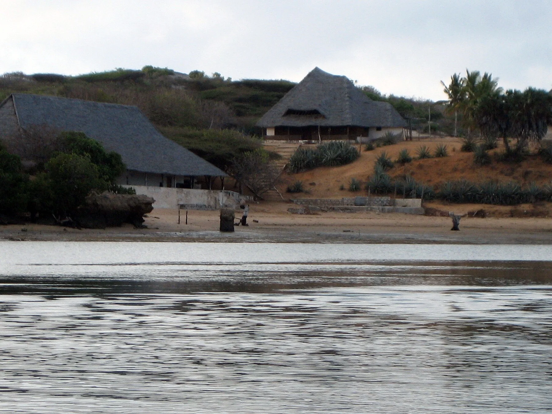
Coral-stone towns, mangroves, dhow routes and long beaches form a layered Swahili seascape on the northern Kenyan coast.
Explore this place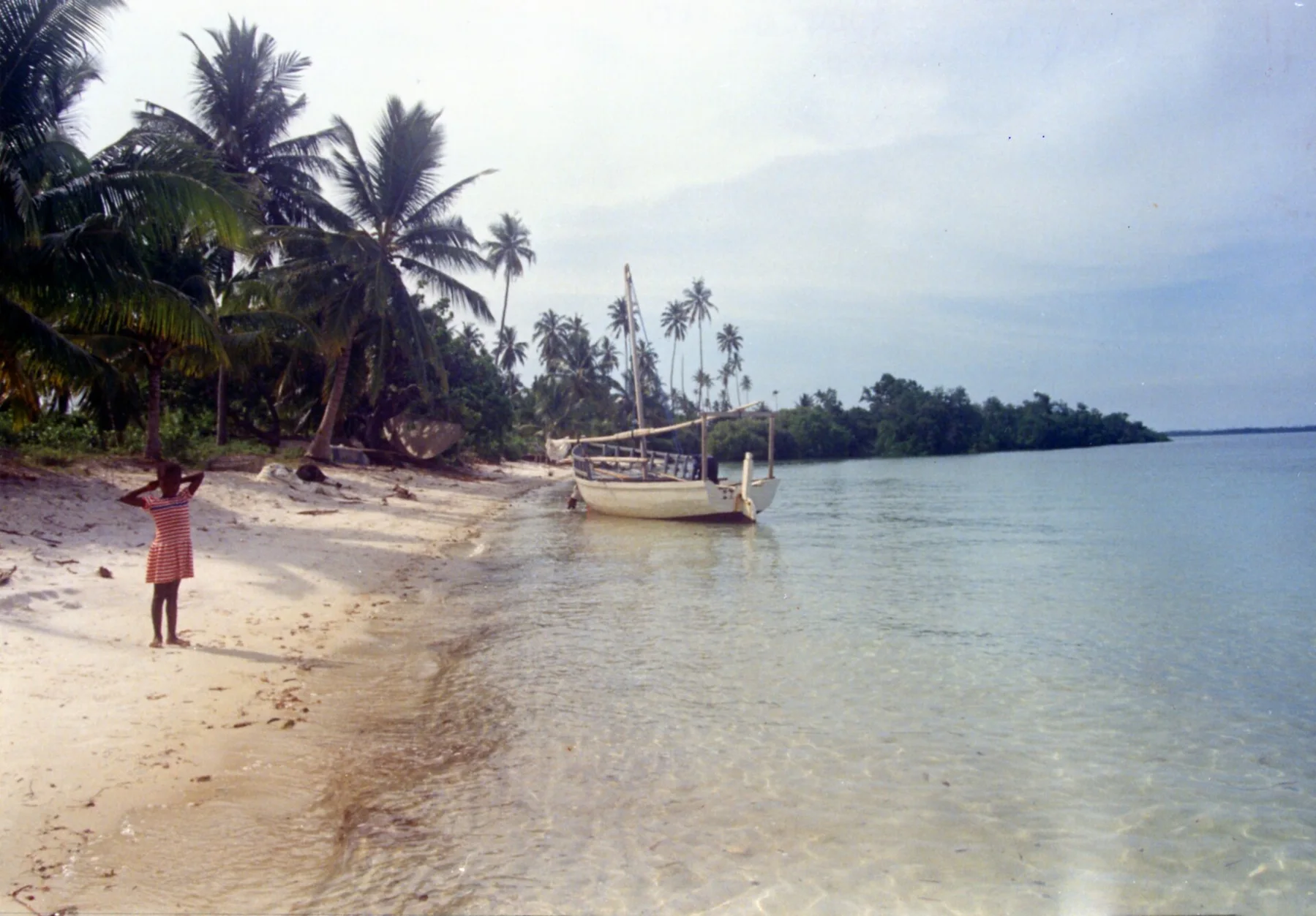
Mangroves, coral reefs and Swahili settlements form a quieter island landscape south of Zanzibar.
Explore this place