Atlantic limestone country

The Burren

Limestone pavement, Atlantic grassland, prehistoric monuments and small farms form one of Ireland's most distinctive cultural landscapes.

Karst pavementWildflowersStone heritage

Location
County Clare, Ireland
Best window
Apr-Oct
Suggested stay
2-4 days
Go for
Limestone and Atlantic light
The reason to go

Limestone pavement

Clints and grikes create a fractured surface where geology, plants and human pathways occupy the same plane.

Plan the least frequent boat, ferry or exposed coastal section first. Use early or late light and keep a weather alternative during Apr-Oct.

Look a little closer

Worth discovering

The details that make The Burren different.

Photo journal
01

Limestone pavement

Clints and grikes create a fractured surface where geology, plants and human pathways occupy the same plane.

Photo journal
02

Poulnabrone Dolmen

A Neolithic portal tomb stands in open limestone country and gives the landscape a clear human timescale.

Destination view
03

Atlantic margin

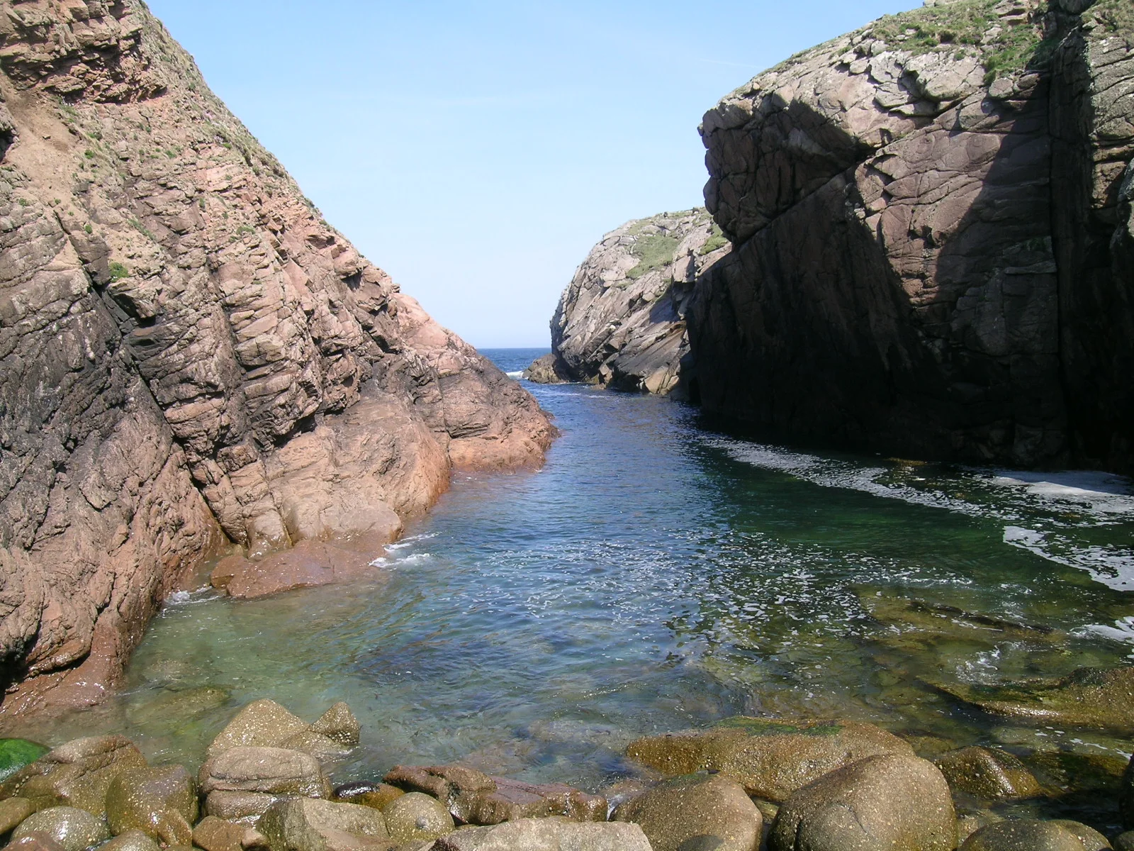
Coastal sections bring exposed rock directly against waves, cliffs and broad western light.

Photo journal

A closer look at The Burren

7 photographs
The full story

The landscape memory of The Burren

Limestone pavement, Atlantic grassland, prehistoric monuments and small farms form one of Ireland's most distinctive cultural landscapes. The deeper story links its visible features with the people and changes behind them.

The Burren occupies a broad limestone region in western Ireland where exposed rock appears almost architectural. Deep fissures divide pale pavement into blocks, yet thin soils support an unusual mixture of plant species. The landscape extends from inland plateaus to the Atlantic edge and cannot be reduced to a single scenic stop.

Visitors often encounter The Burren through the idea of “Limestone pavement”, but the destination is more than that single scene. Its landscape carries evidence of work, movement, adaptation and environmental change. Clints and grikes create a fractured surface where geology, plants and human pathways occupy the same plane.

Continue to practical planning
Limestone pavement in the Burren National Park - geograph.org.uk - 5919146See the complete photo journal
Physical setting

The landform before the landmark

At The Burren, the physical story begins with the structure of the ground. Rainwater dissolves the limestone, creating caves, underground drainage and dry-looking surfaces above hidden water systems. Glacial action stripped and shaped the pavement, while walls and field boundaries add another layer of geometry. In spring, flowers emerge directly from cracks that seem incapable of supporting vegetation.

The map understates the role of the sea. At The Burren, “Limestone pavement” makes clear that water is both a boundary and the route through which settlements, wildlife and outside connections developed. Clints and grikes create a fractured surface where geology, plants and human pathways occupy the same plane.

Cultural landscape

How people learned to live here

The cultural layer of The Burren is easiest to read in homes, fields, paths and local institutions. People have lived and farmed here for millennia. Tombs, ring forts, churches and dense stone walls mark repeated phases of settlement. Winter grazing practices helped maintain open habitats, showing how agriculture and biodiversity can be linked rather than automatically opposed.

A close look at “Poulnabrone Dolmen” makes the cultural layer of The Burren more concrete. A Neolithic portal tomb stands in open limestone country and gives the landscape a clear human timescale. At The Burren, the surviving form links present-day identity with earlier work and settlement.

Modern history

The change that redefined the place

Formal protection changed how The Burren was described and managed. At The Burren, new boundaries, visitor rules and conservation priorities created a public identity that still has to coexist with settlements, customary use and economic pressures. At The Burren, that transition remains visible in the contrast between older working features and visitor infrastructure.

Field notes

The evidence still visible on the ground

Start with the feature “Limestone pavement”, because it condenses a much larger part of the story of The Burren. Clints and grikes create a fractured surface where geology, plants and human pathways occupy the same plane. Within The Burren, it is both an attraction and a record of the processes described above.

At The Burren, the feature “Poulnabrone Dolmen” is best understood as part of the surrounding system rather than an isolated stop. A Neolithic portal tomb stands in open limestone country and gives the landscape a clear human timescale. At The Burren, it gives a concrete reference point for reading change rather than merely collecting viewpoints.

At The Burren, the feature “Atlantic margin” provides a precise clue to how the landscape works. Coastal sections bring exposed rock directly against waves, cliffs and broad western light. At The Burren, it gives a concrete reference point for reading change rather than merely collecting viewpoints.

Continuity

A living landscape, not a frozen scene

At The Burren, light, water and temperature reveal different structures at different times of year. Spring is the most celebrated period for wildflowers, while summer offers long evenings and easier coastal travel. Autumn brings stronger weather and richer grass tones. Winter exposes the structure of rock and wall, although Atlantic wind and rain can dominate the experience.

For The Burren, the main seasonal constraint is: the strongest planning window is Apr-Oct. For The Burren, outside it, check weather, daylight, road or ferry schedules and seasonal closures before committing to a fixed route.

For The Burren, one practical detail matters: wind, sea state and tide can matter as much as distance. For The Burren, check conditions before boat trips, exposed cliffs or tidal sections.

Placed within its wider geography, The Burren is not an isolated exception. The Burren connects with the Cliffs of Moher, Galway Bay and the Aran Islands through shared geology and maritime culture. For The Burren, its future depends on supporting farming systems that preserve open ground while managing traffic around a small number of famous sites.
Travel notes

Plan your visit

Time needed
2-4 days
Getting around
Car or local transport, plus coastal walks and occasional boat links
Effort
Moderate
Plan first
Opening days and any limited-entry sites
Time of day
Morning for movement; late light for viewpoints
Best window
Apr-Oct
Traveller stories

Stories from people who have been here.

First-hand moments, practical notes and overlooked details from The Burren.

Loading traveller stories…

Browse all traveller stories ↗

Keep exploring

Where next?

All place stories