Southern highlands

Cevennes

A southern French mountain region of deep valleys, chestnut slopes, stone hamlets and old paths shaped by pastoral movement and religious history.

Mountain valleysChestnut terracesHistoric paths

Location
Massif Central, France
Best window
Apr-Oct
Suggested stay
3-5 days
Go for
Valleys and stone paths
The reason to go

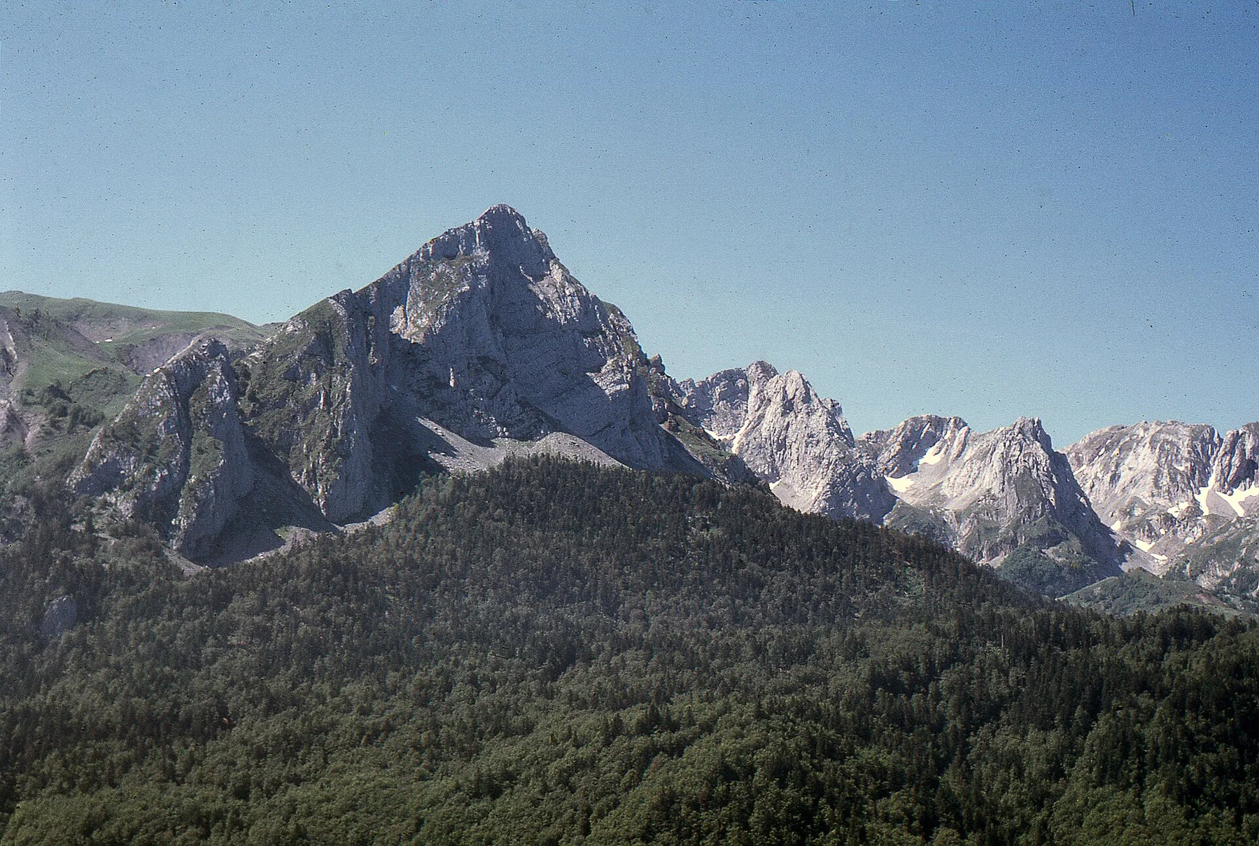
Mont Lozere

Open granite highlands and long-distance paths show the region at its broadest and most exposed.

Start early and make this the first exposed stop of the day. Keep a lower route ready if cloud, heat, wind or trail conditions change during Apr-Oct.

Look a little closer

Worth discovering

The details that make Cevennes different.

Photo journal
01

Mont Lozere

Open granite highlands and long-distance paths show the region at its broadest and most exposed.

Destination view
02

Chestnut valleys

Terraces, woodland and stone farm buildings record centuries of adaptation to steep slopes.

Destination view
03

Historic routes

Old pastoral and religious paths connect settlements that modern roads often approach from entirely different directions.

Photo journal

A closer look at Cevennes

13 photographs
Landscape and history

A deeper history of Cevennes

A southern French mountain region of deep valleys, chestnut slopes, stone hamlets and old paths shaped by pastoral movement and religious history. Its character becomes clearer when geology, settlement and modern protection are considered together.

The Cevennes occupy the southeastern edge of the Massif Central, where upland plateaus break into long valleys descending toward Languedoc. Stone villages, isolated farm buildings and old communication routes sit within a landscape that changes rapidly between exposed ridges and wooded ravines. The region feels extensive because its valleys often follow separate lines of movement.

Many visits to Cevennes begin with the experience described as “Mont Lozere”. The more revealing question is why it exists here, how people used the surrounding ground and what remains visible from earlier phases. Open granite highlands and long-distance paths show the region at its broadest and most exposed.

Continue to practical planning
Cevennes — view 4See the complete photo journal
Physical setting

Why the terrain has this form

Before roads, settlements or protected-area boundaries, the terrain of Cevennes set the basic terms. Granite, schist and limestone create contrasting terrain across the mountain system. Chestnut woods and terraces cover many lower slopes, while open high ground appears around the causses and summits. Rivers cut narrow gorges, and sudden Mediterranean rain can transform otherwise quiet watercourses.

The skyline is only the upper edge of a larger system. At Cevennes, “Mont Lozere” connects the high ground with valleys, settlement and the movement of water below. Open granite highlands and long-distance paths show the region at its broadest and most exposed.

Cultural landscape

The human landscape behind the scenery

At Cevennes, daily life gives the terrain a historical meaning that a viewpoint alone cannot provide. Pastoralism, chestnut cultivation and small-scale farming have left a dense pattern of walls, drailles and dispersed hamlets. The Cevennes also carry a strong Protestant history, visible in local buildings, museums and routes. Contemporary villages combine inherited landscapes with seasonal tourism and efforts to maintain rural services.

At Cevennes, the feature described as “Chestnut valleys” offers a second line of evidence. Terraces, woodland and stone farm buildings record centuries of adaptation to steep slopes. Within Cevennes, it shows how local knowledge and practical use became embedded in the landscape.

Turning point

The change that redefined the place

The decisive modern change at Cevennes was access. At Cevennes, transport and visitor infrastructure made the landscape easier to reach while concentrating pressure at the few points where roads, boats or trails enter it. Cevennes should therefore be read as an evolving cultural landscape rather than a timeless scene.

Visible evidence

What to read in the landscape

Look closely at the feature “Mont Lozere” in Cevennes; it carries information that a panoramic view can miss. Open granite highlands and long-distance paths show the region at its broadest and most exposed. At Cevennes, the detail links local scale with the wider regional pattern.

At Cevennes, the feature “Chestnut valleys” provides a precise clue to how the landscape works. Terraces, woodland and stone farm buildings record centuries of adaptation to steep slopes. At Cevennes, it gives a concrete reference point for reading change rather than merely collecting viewpoints.

At Cevennes, the significance of the feature “Historic routes” goes beyond its visual impact. Old pastoral and religious paths connect settlements that modern roads often approach from entirely different directions. For Cevennes, that relationship is more informative than treating the feature only as a photograph or checklist item.

Season and scale

The current chapter

At Cevennes, season is part of the landscape history, not merely a planning detail. Spring brings active streams and fresh forest colour. Summer is warm and supports long days on foot, though exposed valleys can become hot. Early autumn adds cooler air and chestnut season, while winter is quieter and can isolate higher routes through snow or heavy rain.

For Cevennes, the main seasonal constraint is: the strongest planning window is Apr-Oct. For Cevennes, outside it, check weather, daylight, road or ferry schedules and seasonal closures before committing to a fixed route.

For Cevennes, one practical detail matters: distances, fuel, food and mobile coverage can be less predictable than the map suggests. For Cevennes, carry offline maps and keep a margin in the schedule.

Placed within its wider geography, Cevennes is not an isolated exception. The Cevennes connect naturally with the Grands Causses, Mont Lozere and the gorges leading south. For Cevennes, a journey through the region works best as a sequence of valleys and villages, revealing how geology and human history change over relatively short distances.

Travel notes

Plan your visit

Time needed
3-5 days
Getting around
Car to access points, then walking or hiking
Effort
Moderate to demanding
Plan first
Main transport and accommodation
Time of day
Start early for clearer conditions and more time
Best window
Apr-Oct
Traveller stories

Stories from people who have been here.

First-hand moments, practical notes and overlooked details from Cevennes.

Loading traveller stories…

Browse all traveller stories ↗

Keep exploring

Where next?

All place stories