High Alpine interior

Ecrins

Glaciers, high granite massifs and inhabited valleys create a more austere Alpine landscape between Grenoble, Briancon and the Durance.

GlaciersGranite peaksValley villages

Location
French Alps, France
Best window
Jun-Sep
Suggested stay
2-4 days
Go for
High alpine valleys
The reason to go

La Berarde valley

A long mountain corridor leads directly toward the highest central summits.

Check opening days or local access first, then connect the main site to the surrounding streets, paths or landscape instead of treating it as an isolated stop.

Look a little closer

Worth discovering

The details that make Ecrins different.

Photo journal
01

La Berarde valley

A long mountain corridor leads directly toward the highest central summits.

Photo journal
02

Glacier Blanc

A major accessible glacier illustrates the changing high-alpine environment.

Destination view
03

Vallouise villages

Historic settlements connect the park’s mountain terrain with everyday valley life.

Photo journal

A closer look at Ecrins

13 photographs
Origins and change

How Ecrins became the place it is

Glaciers, high granite massifs and inhabited valleys create a more austere Alpine landscape between Grenoble, Briancon and the Durance. The deeper story links its visible features with the people and changes behind them.

Ecrins occupies the central high mountains of the Ecrins massif. Glaciers, high granite massifs and inhabited valleys create a more austere Alpine landscape between Grenoble, Briancon and the Durance. The massif sits between the more urban northern Alps and the drier southern ranges, revealing a transition in climate, vegetation and settlement.
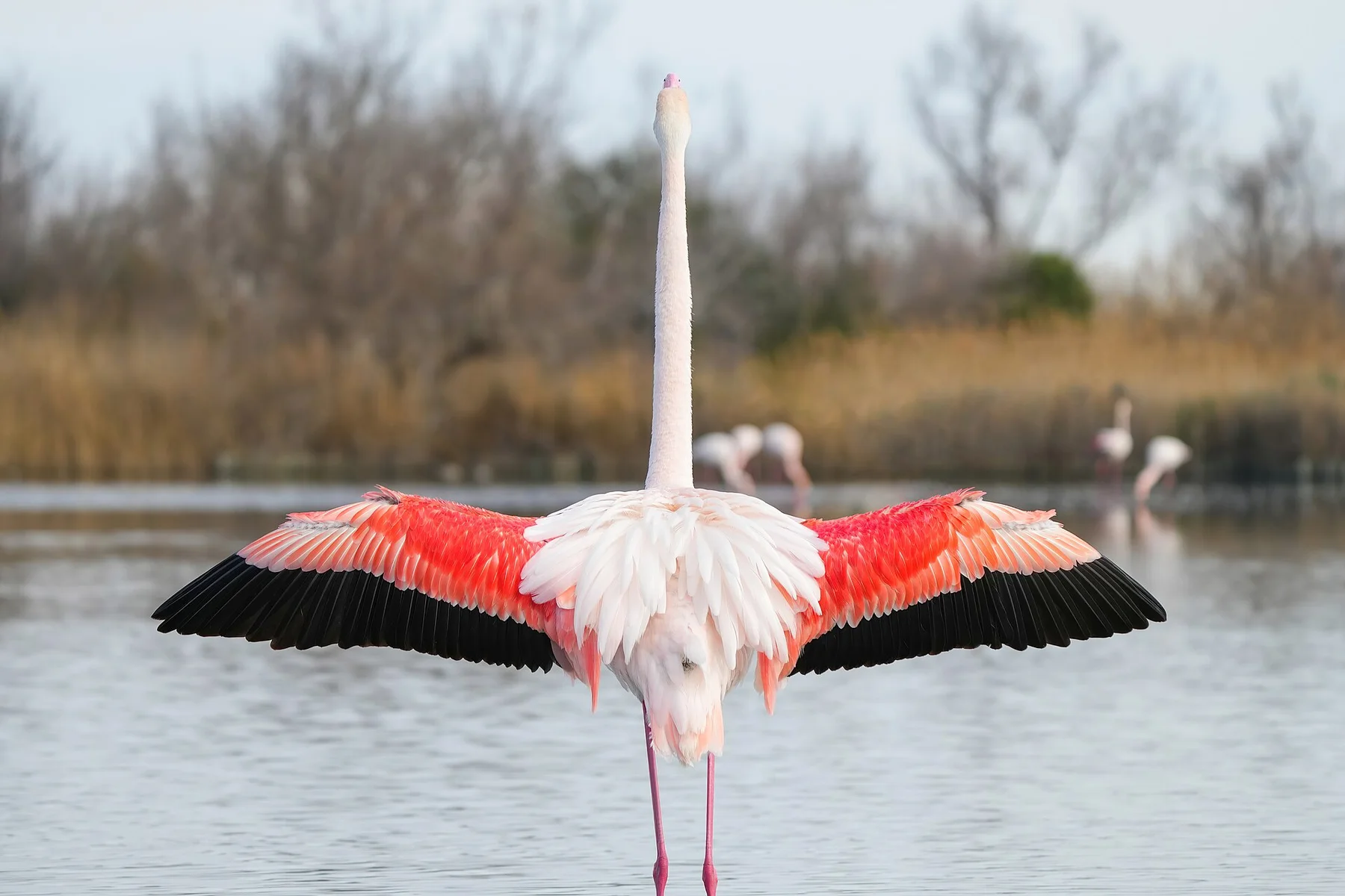
The familiar invitation at Ecrins is “La Berarde valley”, yet that image makes more sense when it is connected to the landform, the local economy and the changes that determined access. A long mountain corridor leads directly toward the highest central summits.

Continue to practical planning
Ecrins — view 4See the complete photo journal
Natural history

How the landscape was assembled

The first layer of Ecrins is geological and ecological rather than scenic. Deep valleys radiate from a compact group of peaks above 4,000 metres, with glaciers, scree, larch forest and alpine pasture arranged by altitude.

Altitude turns distance into effort and creates abrupt ecological boundaries. At Ecrins, “La Berarde valley” provides a useful reference point for understanding that vertical structure. A long mountain corridor leads directly toward the highest central summits.

Settlement and memory

Settlement, movement and local knowledge

Ecrins has been shaped as much by livelihoods and movement as by natural processes. Villages at the valley entrances support farming, guiding and seasonal tourism, while older paths connect pasture, refuges and high passes.

At Ecrins, “Glacier Blanc” should not be treated as a decorative detail. A major accessible glacier illustrates the changing high-alpine environment. The feature records how construction, movement or livelihood adapted to local conditions at Ecrins.

Turning point

The modern turning point

The decisive modern change at Ecrins was access. At Ecrins, transport and visitor infrastructure made the landscape easier to reach while concentrating pressure at the few points where roads, boats or trails enter it. At Ecrins, the current visitor experience is the newest layer rather than the whole history.

On the ground

What to read in the landscape

At Ecrins, the feature “La Berarde valley” is one of the most useful pieces of visible evidence. A long mountain corridor leads directly toward the highest central summits. Within Ecrins, the feature explains why this destination differs from nearby landscapes.

At Ecrins, the feature “Glacier Blanc” provides a precise clue to how the landscape works. A major accessible glacier illustrates the changing high-alpine environment. Its position and condition at Ecrins connect physical history with the way people use the place now.

At Ecrins, the significance of the feature “Vallouise villages” goes beyond its visual impact. Historic settlements connect the park’s mountain terrain with everyday valley life. For Ecrins, that relationship is more informative than treating the feature only as a photograph or checklist item.

Living landscape

The current chapter

At Ecrins, season is part of the landscape history, not merely a planning detail. Summer offers the broadest access to high trails; late spring retains snow, autumn is quieter, and winter conditions require specialist preparation.

For Ecrins, the main seasonal constraint is: the strongest planning window is Jun-Sep. For Ecrins, outside it, check weather, daylight, road or ferry schedules and seasonal closures before committing to a fixed route.

For Ecrins, one practical detail matters: cloud, wind and trail conditions can change quickly. For Ecrins, put the highest or most exposed stop first and keep a lower-level alternative.

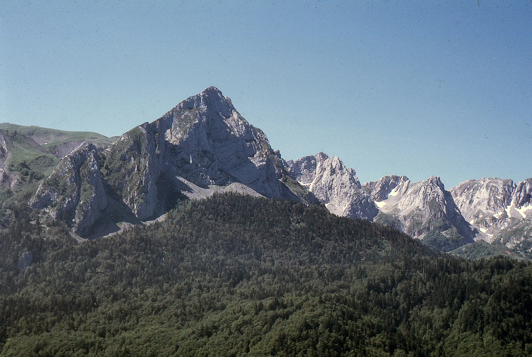
Placed within its wider geography, Ecrins is not an isolated exception. For Ecrins, the wider context shows that, the massif sits between the more urban northern Alps and the drier southern ranges, revealing a transition in climate, vegetation and settlement.
Travel notes

Plan your visit

Time needed
2-4 days
Getting around
Car to access points, then walking or hiking
Effort
Moderate to demanding
Plan first
Accommodation and seasonal transport
Time of day
Start early for clearer conditions and more time
Best window
Jun-Sep
Traveller stories

Stories from people who have been here.

First-hand moments, practical notes and overlooked details from Ecrins.

Loading traveller stories…

Browse all traveller stories ↗

Keep exploring

Where next?

All place stories