Climb a dune while the Kodar Range still holds snow
The unlikely contrast is the whole point: warm sand underfoot, larch forest at the edge and alpine ridges filling the horizon.
Begin before heat and hard overhead light; save the widest overlook for late afternoon if access and trail time allow.
Look a little closer
Worth discovering
The details that make Chara Sands different.
Destination view
01
Dune ridge
The tallest sand crests give the clearest mountain contrast.
Destination view
02
Sredny Sakukan valley
River and forest create the transition into the dune field.
Destination view
03
Kodar backdrop
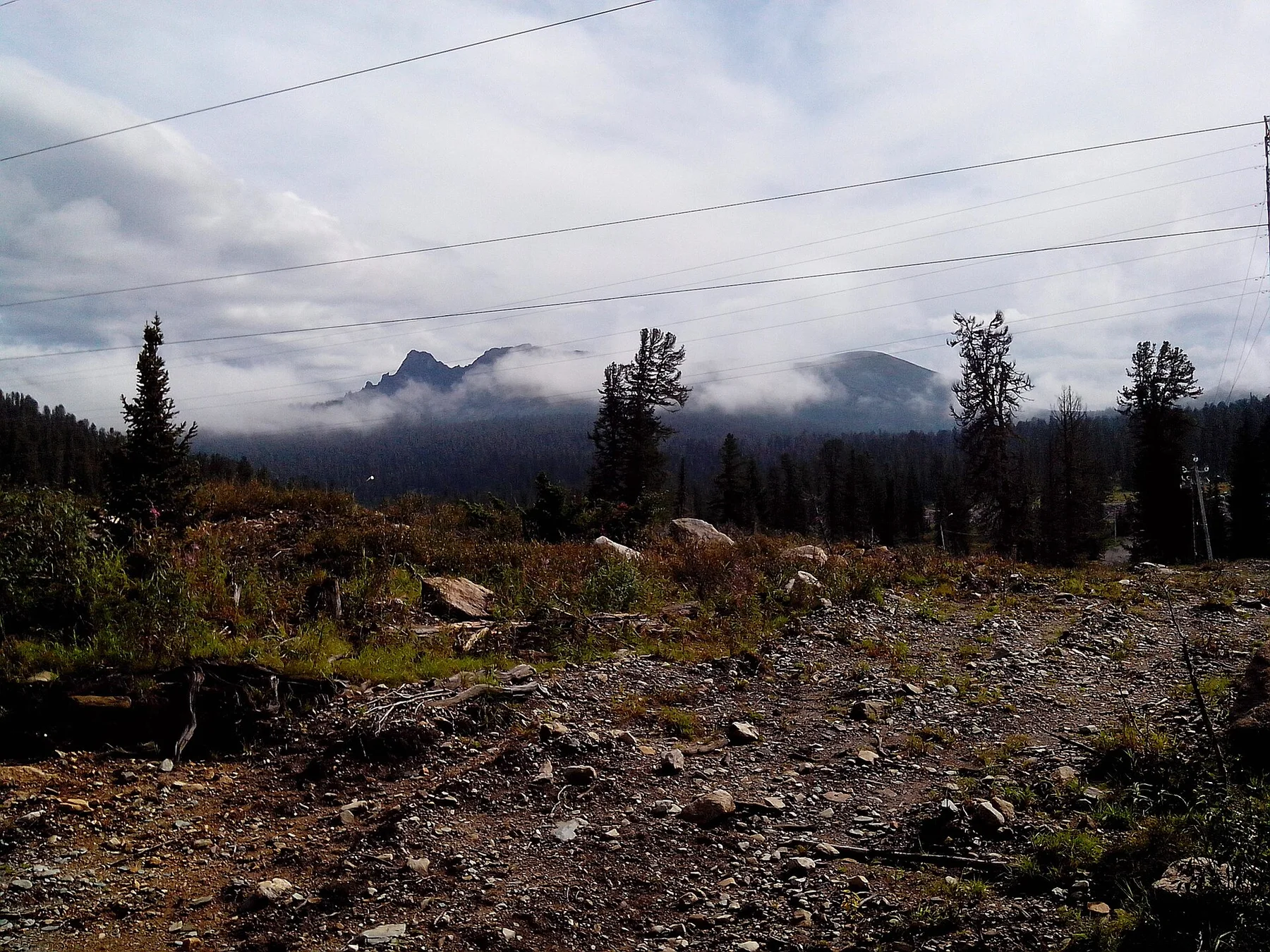
Sharp peaks make the desert-like foreground feel improbable.
Photo journal
A closer look at Chara Sands
6 photographs
01Chara Sands before it rains - Kalarsky District, Zabaykalsky Krai, Siberia02Забайкальская пустыня03Chara Sands — view 304Озеро Аленушка05Гирсова Наталья - Чарская пустыня. Забайкальский край. Декабрь 2022 (ИФПМ СО РАН)06Гирсова Наталья - Чарская пустыня 2. Забайкальский край. Декабрь 2022 (ИФПМ СО РАН)
Landscape and history
What made Chara Sands distinctive
A compact field of moving dunes lies between taiga, wetlands and snow-streaked mountains in eastern Siberia. This account follows the forces, communities and decisions that made the present landscape.
4 min readZabaykalsky Krai, Russia
Chara Sands is centred on Zabaykalsky Krai, where a compact field of moving dunes lies between taiga, wetlands and snow-streaked mountains in eastern Siberia. The strongest reason to make the journey is to climb a dune while the kodar range still holds snow.
The familiar invitation at Chara Sands is “Climb a dune while the Kodar Range still holds snow”, yet that image makes more sense when it is connected to the landform, the local economy and the changes that determined access. The unlikely contrast is the whole point: warm sand underfoot, larch forest at the edge and alpine ridges filling the horizon.
At Chara Sands, the form of the landscape explains many of the choices that came later. Erosion exposes rock, cliffs and drainage patterns that are easiest to understand from both the rim and the lower route. Heat and shade can differ sharply within a short distance.
Erosion and scarcity give small features unusual weight. At Chara Sands, “Dune ridge” exposes the processes that cut, transported or concentrated the visible materials. The tallest sand crests give the clearest mountain contrast.
02
Lives and livelihoods
The cultural layer of the place
The Chara Sands formed from sand deposited in a glacial lake basin after the last Ice Age. Winds reworked those sediments into dunes framed by snow-covered mountains, creating a desert-like pocket within the taiga.
Evenki people moved through the region with reindeer long before permanent Soviet settlements. Twentieth-century geological exploration and construction of the Baikal-Amur Mainline brought roads, mines and towns much closer to the dune field.
03
Modern history
The transition visible today
Rail access made the basin reachable, while proposed and operating mineral projects increased pressure on a landscape once known mainly to local communities and geologists. The dunes now sit between Indigenous land use, industrial expansion and nature tourism.
04
Details to read
Where the story becomes visible
At Chara Sands, the feature “Dune ridge” is one of the most useful pieces of visible evidence. The tallest sand crests give the clearest mountain contrast. For Chara Sands, that relationship is more informative than treating the feature only as a photograph or checklist item.
Start with the feature “Sredny Sakukan valley”, because it condenses a much larger part of the story of Chara Sands. River and forest create the transition into the dune field. Within Chara Sands, the feature explains why this destination differs from nearby landscapes.
At Chara Sands, the feature “Kodar backdrop” is best understood as part of the surrounding system rather than an isolated stop. Sharp peaks make the desert-like foreground feel improbable. Within Chara Sands, it is both an attraction and a record of the processes described above.
05
Season and scale
Season, scale and the present day
At Chara Sands, light, water and temperature reveal different structures at different times of year. For Chara Sands, the most reliable visiting window is Jun-Sep.
For Chara Sands, the stated visiting window is Jun-Sep, but its practical meaning depends on local weather, water and transport rather than the calendar alone.
Placed within its wider geography, Chara Sands is not an isolated exception. Beyond the best-known image of Chara Sands feature, Chara Sands matters because sredny sakukan valley and kodar backdrop place the destination inside a broader regional story.
Chronology
Key dates
A lake bed becomes dunes
Wind reshaped exposed sediments after glacial waters withdrew.
Evenki movement through the basin
Reindeer herding and seasonal routes connected taiga, river and mountain zones.
BAM railway construction
The new rail corridor and geological exploration transformed regional access.
Travel notes
Plan your visit
Time needed
2-3 days
Getting around
Road access and hiking
Effort
Moderate
Plan first
Heat, trail exposure and permits if required
Time of day
Sunrise or late afternoon
Best window
Jun-Sep
Traveller stories
Stories from people who have been here.
First-hand moments, practical notes and overlooked details from Chara Sands.