When seasonal rain triggers movement, millions of crabs turn roads, bridges and forest floor into a living red current toward the sea.
Plan the least frequent boat or flight first, then use the remaining time for the signature route rather than trying to collect every viewpoint.
Look a little closer
Worth discovering
The details that make Christmas Island different.
Destination view
01
Red-crab migration
Seasonal movement links rainforest burrows to the coast.
Photo journal
02
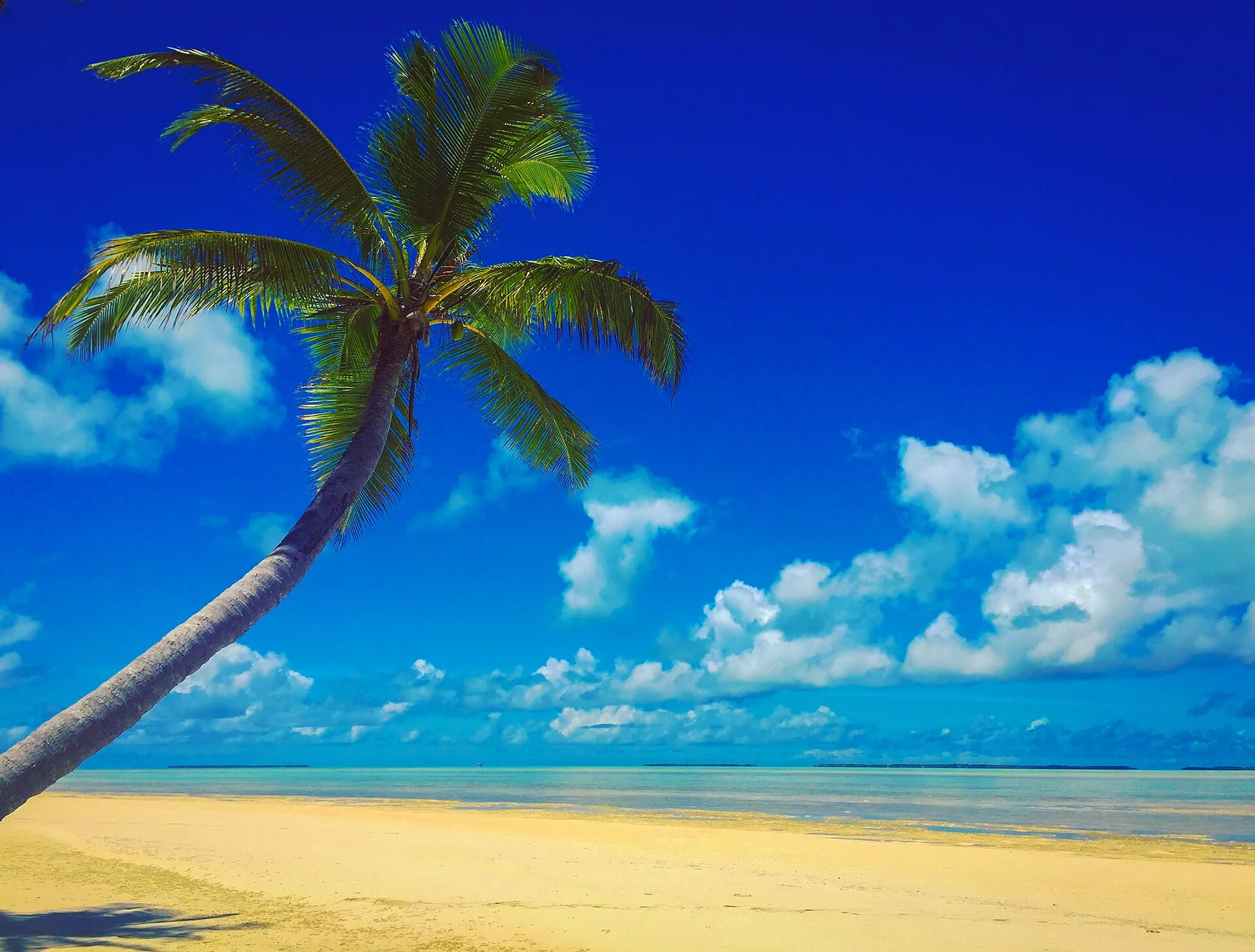
Dolly Beach
A remote beach is reached through forest.
Photo journal
03
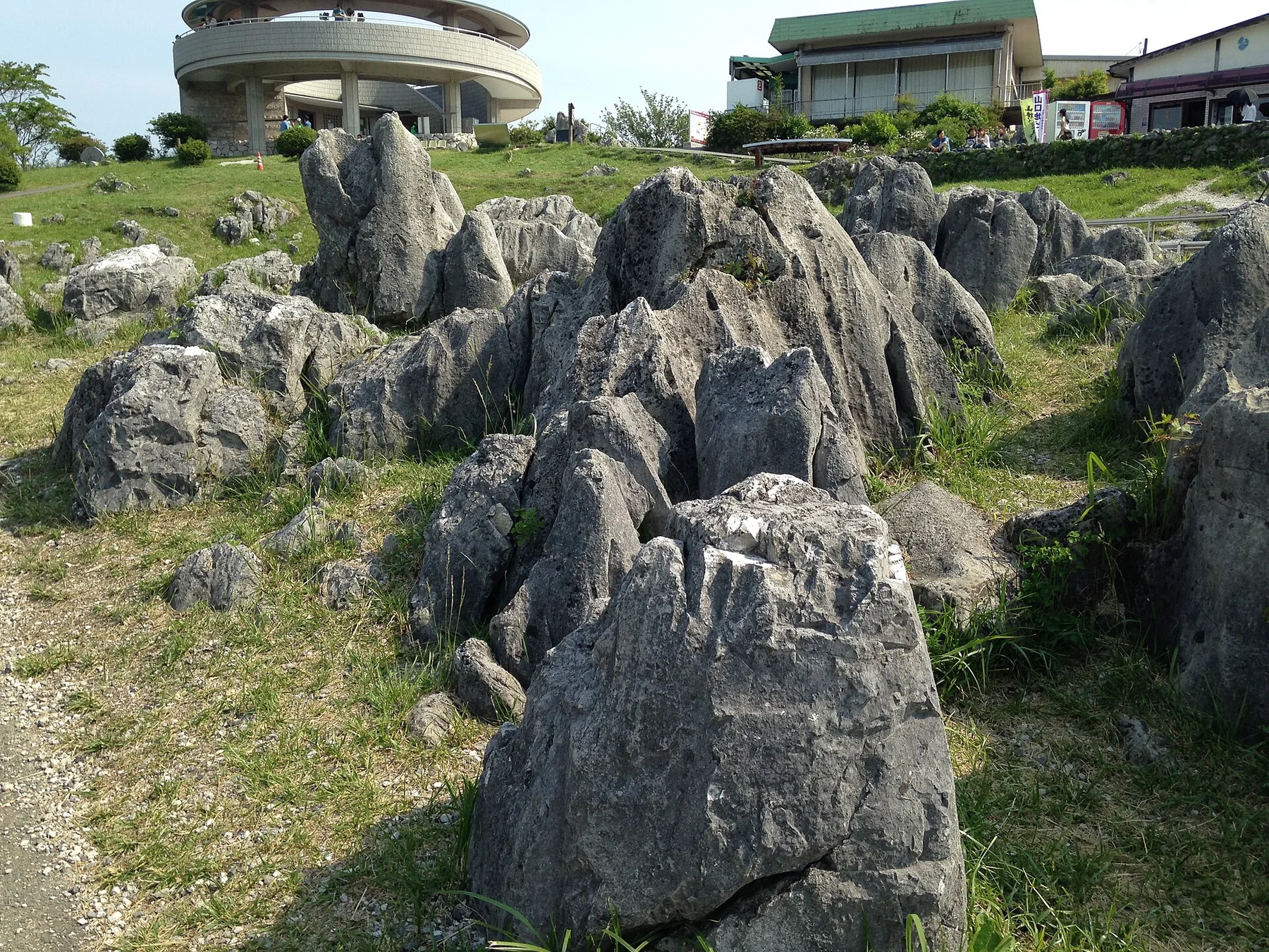
The Blowholes
Ocean swell forces air and spray through coastal rock.
Photo journal
A closer look at Christmas Island
9 photographs
01Lily-Beach-Christmas-Island-881x58802South Coast of Christmas Island (25376180530)03Christmas Island — view 304Christmas Island Golf Course (25192494380)05North East Point (25366256611)06Christmas Island (5774536659)07Christmas Island Blowholes (25539039582)08Spar to the beat09East Coast of Christmas Island (24935368013)
The full story
The landscape memory of Christmas Island
Rainforest, sea cliffs and endemic wildlife occupy an isolated limestone-and-volcanic island south of Java. The deeper story links its visible features with the people and changes behind them.
4 min readIndian Ocean, Australia
Christmas Island is centred on Indian Ocean, where rainforest, sea cliffs and endemic wildlife occupy an isolated limestone-and-volcanic island south of Java. The strongest reason to make the journey is to see the red-crab migration cross the forest roads.
The familiar invitation at Christmas Island is “See the red-crab migration cross the forest roads”, yet that image makes more sense when it is connected to the landform, the local economy and the changes that determined access. When seasonal rain triggers movement, millions of crabs turn roads, bridges and forest floor into a living red current toward the sea.
On an island, coast, altitude and exposure work together. At Christmas Island, the feature described as “Red-crab migration” shows how a short distance can separate sheltered ground from a very different ocean-facing environment. Seasonal movement links rainforest burrows to the coast.
Christmas Island is not a uniform area. Changes in elevation, exposure, water and substrate produce distinct environments over short distances, which is why a route through the place often reveals more than a fixed viewpoint.
02
Cultural landscape
People, work and memory
The island received its English name when William Mynors sailed past on Christmas Day 1643, but difficult cliffs delayed sustained settlement. Phosphate deposits drew British interests in the late nineteenth century, and mining began with a workforce recruited largely from China, Malaya and Singapore. The resulting communities gave the island a cultural history very different from mainland Australia.
Japanese forces occupied Christmas Island during the Second World War. After the war, mining resumed and administration transferred from Singapore to Australia in 1958. Much of the rainforest was later protected as national park, creating a sharp boundary between industrial terraces, multicultural settlements and habitat used by endemic red crabs.
03
Change
What altered the old balance
Phosphate mining transformed the plateau, roads and population, while conservation redirected attention toward the annual crab migration and species found nowhere else. Road closures during migration now reverse the old hierarchy: industrial infrastructure temporarily yields to wildlife moving between rainforest and sea.
04
Field notes
The evidence still visible on the ground
At Christmas Island, the significance of the feature “Red-crab migration” goes beyond its visual impact. Seasonal movement links rainforest burrows to the coast. Within Christmas Island, it is both an attraction and a record of the processes described above.
Look closely at the feature “Dolly Beach” in Christmas Island; it carries information that a panoramic view can miss. A remote beach is reached through forest. Within Christmas Island, the feature explains why this destination differs from nearby landscapes.
Start with the feature “The Blowholes”, because it condenses a much larger part of the story of Christmas Island. Ocean swell forces air and spray through coastal rock. Its position and condition at Christmas Island connect physical history with the way people use the place now.
05
Living landscape
A living landscape, not a frozen scene
At Christmas Island, season is part of the landscape history, not merely a planning detail. For Christmas Island, the most reliable visiting window is May-Nov.
For Christmas Island, the stated visiting window is May-Nov, but its practical meaning depends on local weather, water and transport rather than the calendar alone.
Placed within its wider geography, Christmas Island is not an isolated exception. Beyond the best-known image of Christmas Island feature, Christmas Island matters because dolly beach and the blowholes place the destination inside a broader regional story.
Chronology
Key dates
Island named on Christmas Day
William Mynors recorded the island during an East India Company voyage.
Phosphate mining begins
Mining created permanent settlement and brought workers from across maritime Southeast Asia.
Administration transferred to Australia
Christmas Island became an Australian territory while phosphate remained central to its economy.
Travel notes
Plan your visit
Time needed
3-5 days
Getting around
Local transport, walking and boat or ferry connections
Effort
Easy to moderate
Plan first
Main flight or ferry, accommodation and weather backup
Time of day
Morning movement; late light for coast
Best window
May-Nov
Traveller stories
Stories from people who have been here.
First-hand moments, practical notes and overlooked details from Christmas Island.