Parnidis Dune
Open sand rises above Nida with views toward the lagoon, forest and the border farther south.
Plan the least frequent boat, ferry or exposed coastal section first. Use early or late light and keep a weather alternative during May-Sep.
A long sand barrier of dunes, pine forest and lagoon villages separates the Baltic Sea from the Curonian Lagoon.
Open sand rises above Nida with views toward the lagoon, forest and the border farther south.
Plan the least frequent boat, ferry or exposed coastal section first. Use early or late light and keep a weather alternative during May-Sep.
The details that make Curonian Spit different.
Open sand rises above Nida with views toward the lagoon, forest and the border farther south.
Compact villages occupy sheltered eastern shores where fishing and boat culture developed.
A short cross-island journey moves from calm lagoon water to exposed Baltic beach and surf.
A long sand barrier of dunes, pine forest and lagoon villages separates the Baltic Sea from the Curonian Lagoon. This account follows the forces, communities and decisions that made the present landscape.
The Curonian Spit is a narrow ribbon of sand shared by Lithuania and Russia. On its western side lies the open Baltic; on the eastern side, the calmer lagoon. Forest, dunes, villages and a single road occupy a landscape whose width is often measured in only a few kilometers.
Many visits to Curonian Spit begin with the experience described as “Parnidis Dune”. The more revealing question is why it exists here, how people used the surrounding ground and what remains visible from earlier phases. Open sand rises above Nida with views toward the lagoon, forest and the border farther south.
Continue to practical planningAt Curonian Spit, the physical story begins with the structure of the ground. Wind and wave action built the barrier over thousands of years, while moving dunes repeatedly threatened settlements and vegetation. Large-scale planting stabilized much of the surface, creating pine forest beside open dune fields. The result is both a dynamic coastal system and a landscape heavily shaped by human intervention.
The map understates the role of the sea. At Curonian Spit, “Parnidis Dune” makes clear that water is both a boundary and the route through which settlements, wildlife and outside connections developed. Open sand rises above Nida with views toward the lagoon, forest and the border farther south.
At Curonian Spit, people learned to work with the landscape limits rather than arriving after its story was complete. Fishing villages such as Nida preserve timber architecture, boat traditions and a relationship with the lagoon. Artists and writers were drawn to the light and unusual horizon during the nineteenth and twentieth centuries. Modern tourism now supports local economies but also increases pressure on a very limited strip of land.
The role of “Lagoon settlements” is especially revealing at Curonian Spit. Compact villages occupy sheltered eastern shores where fishing and boat culture developed. In the history of Curonian Spit, it connects the wider regional context with a specific place that can still be examined today.
Formal protection changed how Curonian Spit was described and managed. At Curonian Spit, new boundaries, visitor rules and conservation priorities created a public identity that still has to coexist with settlements, customary use and economic pressures. At Curonian Spit, the result is not a clean break with the past because earlier routes and habits continue to organise the present landscape.
Start with the feature “Parnidis Dune”, because it condenses a much larger part of the story of Curonian Spit. Open sand rises above Nida with views toward the lagoon, forest and the border farther south. Its position and condition at Curonian Spit connect physical history with the way people use the place now.
At Curonian Spit, the feature “Lagoon settlements” provides a precise clue to how the landscape works. Compact villages occupy sheltered eastern shores where fishing and boat culture developed. Within Curonian Spit, the feature explains why this destination differs from nearby landscapes.
At Curonian Spit, the significance of the feature “Two coastlines” goes beyond its visual impact. A short cross-island journey moves from calm lagoon water to exposed Baltic beach and surf. At Curonian Spit, it gives a concrete reference point for reading change rather than merely collecting viewpoints.
At Curonian Spit, season is part of the landscape history, not merely a planning detail. Late spring and early autumn bring long daylight, active bird migration and fewer visitors than midsummer. Summer is warmer and best suited to cycling and beach time. Winter can be severe, with ice, strong wind and a much quieter settlement pattern.
For Curonian Spit, the main seasonal constraint is: the strongest planning window is May-Sep. For Curonian Spit, outside it, check weather, daylight, road or ferry schedules and seasonal closures before committing to a fixed route.
For Curonian Spit, one practical detail matters: wind, sea state and tide can matter as much as distance. For Curonian Spit, check conditions before boat trips, exposed cliffs or tidal sections.
Placed within its wider geography, Curonian Spit is not an isolated exception. For Curonian Spit, the wider context shows that, the spit forms part of a larger Baltic coastal system and a major migratory route. For Curonian Spit, its identity depends on continued dune management, forest care and control of development. For Curonian Spit, the landscape looks natural, but its present stability is inseparable from generations of deliberate maintenance.
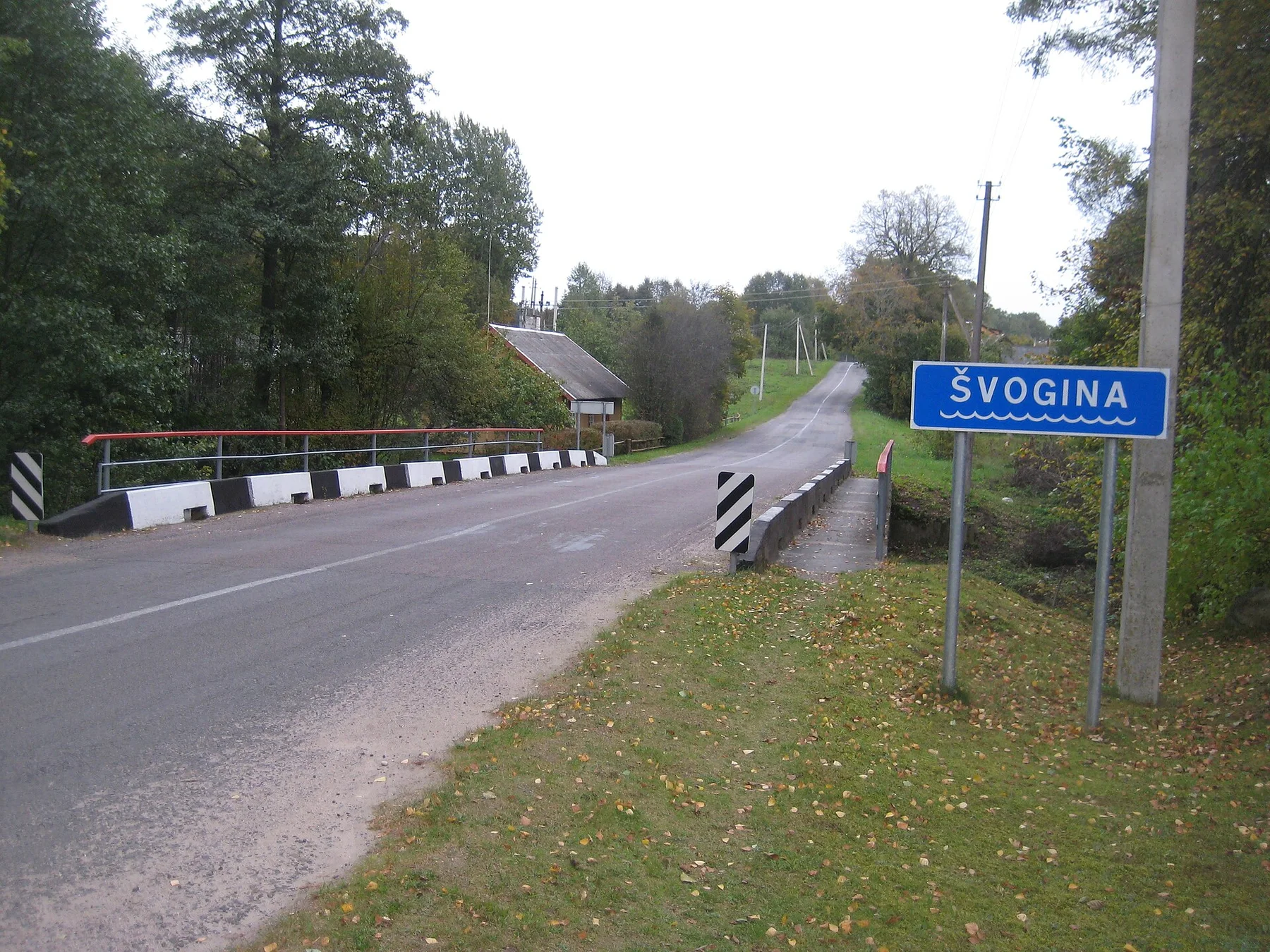
Clear lakes, pine forest and dispersed villages form a quiet inland landscape shaped by water routes and long settlement history.
Explore this place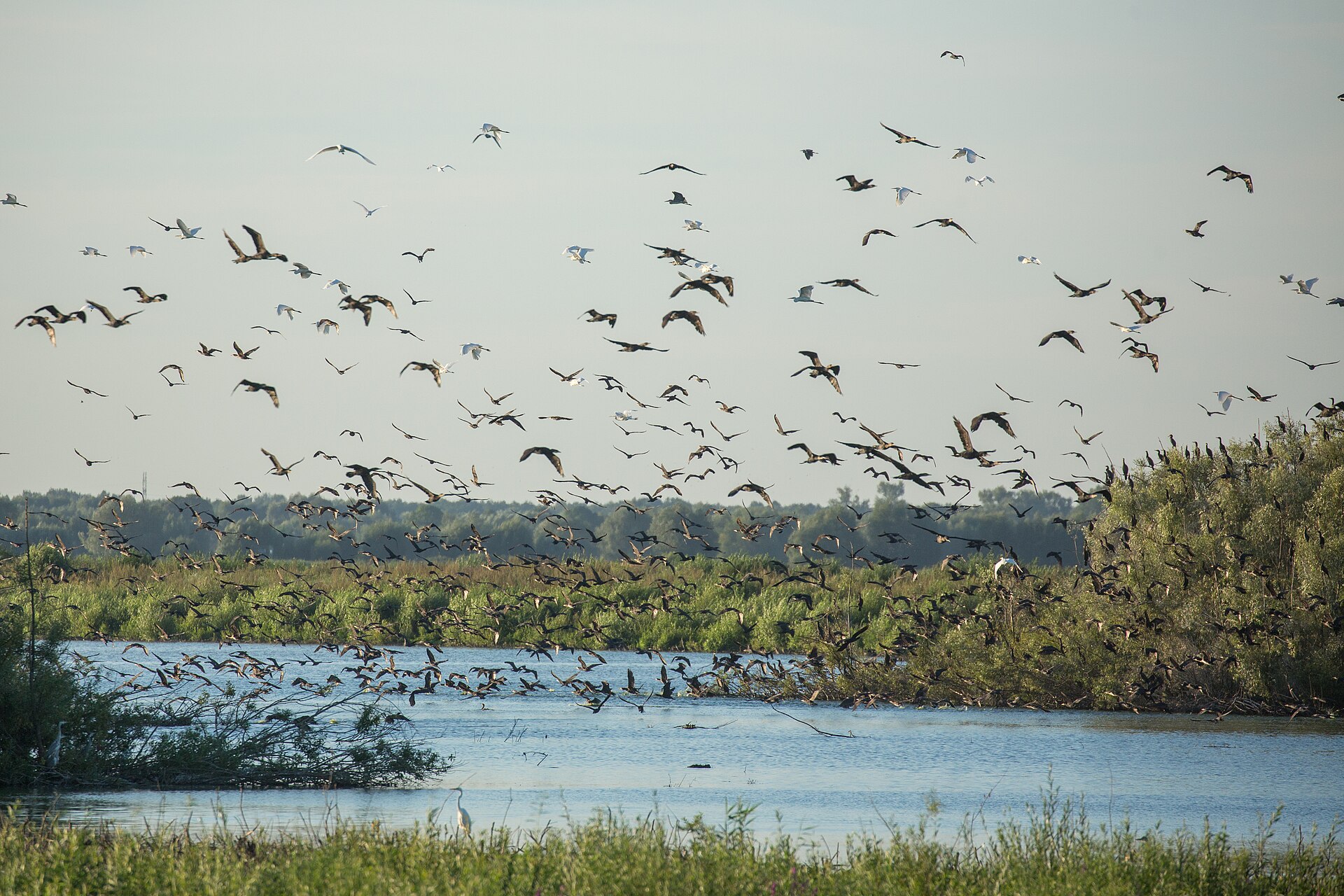
A low, water-threaded landscape of polders, reedbeds, fishing settlements and migrating birds where Lithuania's largest river meets the Curonian Lagoon.
Explore this place
A low Baltic archipelago of red granite, pine forest, ferries and small maritime communities spread between Finland and Sweden.
Explore this place