Dinaric highlands

Durmitor

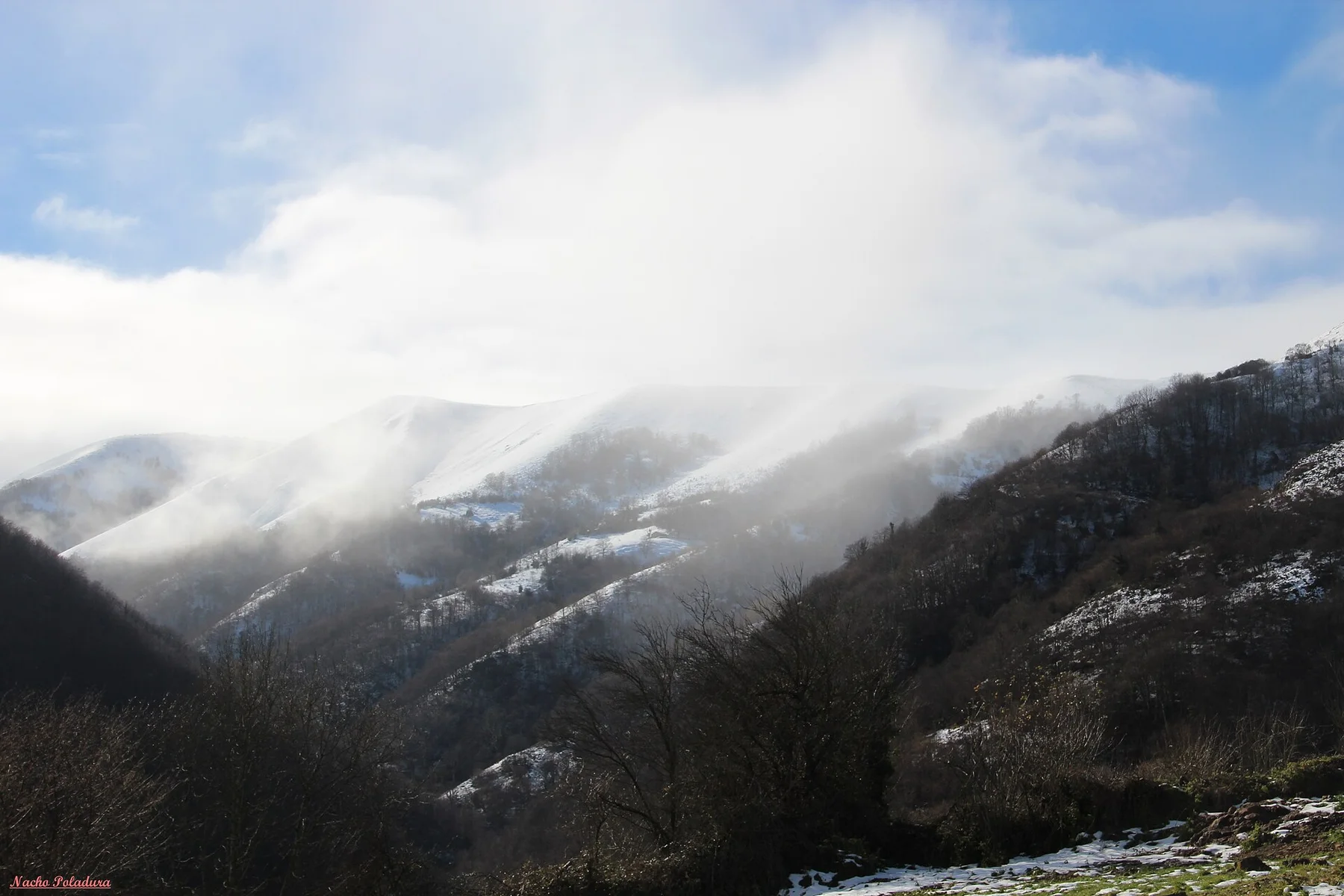
High plateaus, glacial lakes and pale limestone walls form a compact Dinaric landscape around Zabljak and the Tara canyon.

Glacial lakesPlateau roadsDeep canyons

Location
Dinaric Alps, Montenegro
Best window
Jun-Oct
Suggested stay
2-4 days
Go for
High-country loop
The reason to go

Black Lake

Crno Jezero lies beneath the massif and reflects the forested slopes and high peaks above Zabljak.

Start early and make this the first exposed stop of the day. Keep a lower route ready if cloud, heat, wind or trail conditions change during Jun-Oct.

Look a little closer

Worth discovering

The details that make Durmitor different.

Photo journal
01

Black Lake

Crno Jezero lies beneath the massif and reflects the forested slopes and high peaks above Zabljak.

Photo journal
02

Durmitor Ring

A high scenic road circles the massif through plateaus, passes and small mountain settlements.

Photo journal
03

Tara canyon

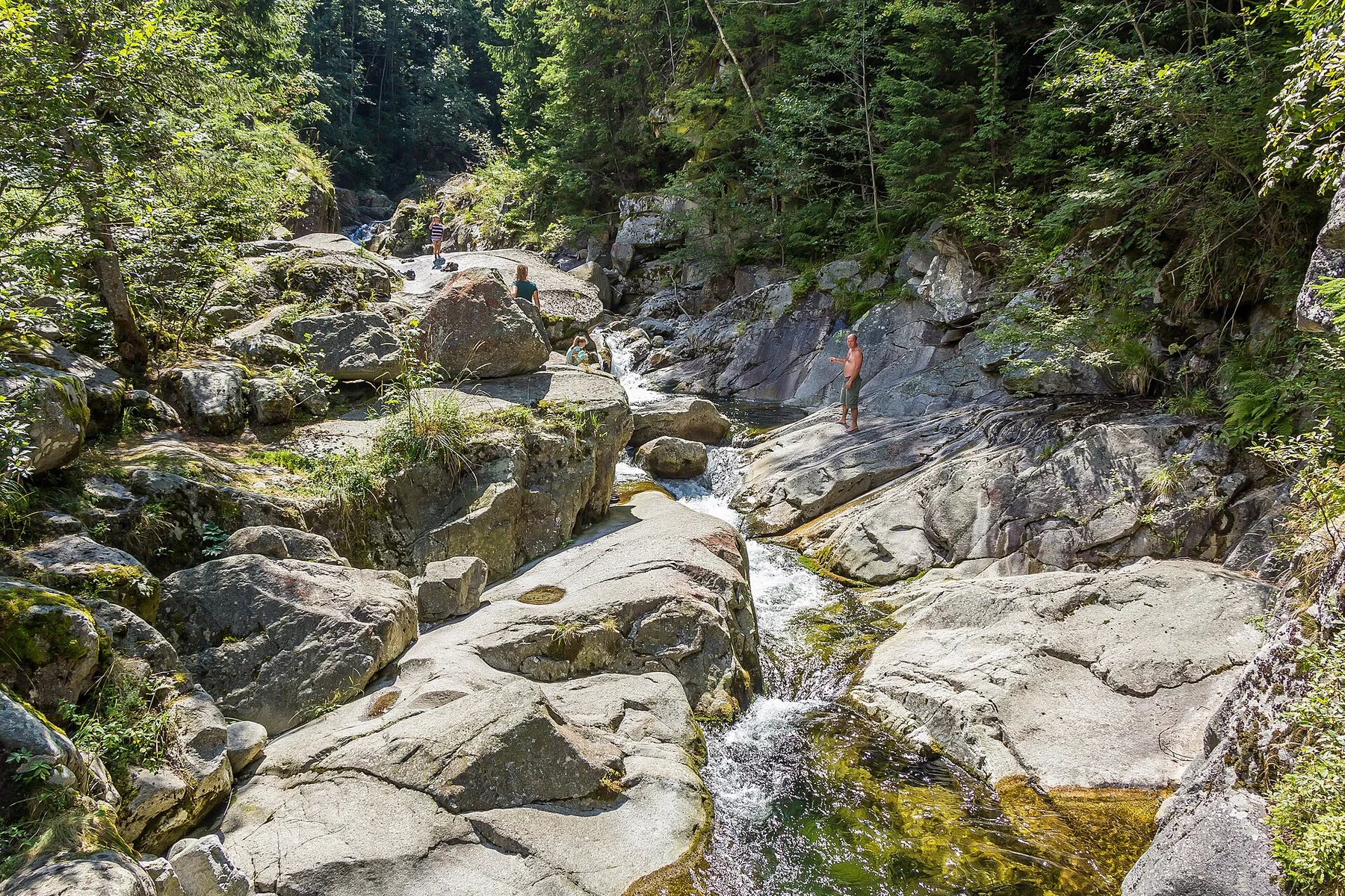
The Tara River cuts through a deep canyon on the eastern side of the national park landscape.

Photo journal

A closer look at Durmitor

14 photographs
Origins and change

Durmitor: the story behind the landscape

High plateaus, glacial lakes and pale limestone walls form a compact Dinaric landscape around Zabljak and the Tara canyon. The view is only the surface of a longer story of formation, use and change.

Durmitor brings together glacial lakes, high plateaus, limestone peaks and deep river canyons in northern Montenegro. The massif rises above Zabljak, but its character extends well beyond the summit skyline: open grazing land, forest, small settlements and the high road around the mountain are equally important to understanding the region.

The strongest visual shorthand for Durmitor is the experience described as “Black Lake”. Behind it lies a more complex relationship between physical processes, settlement and the modern idea of the place as a destination. Crno Jezero lies beneath the massif and reflects the forested slopes and high peaks above Zabljak.

Continue to practical planning
Durmitor - mountain rangeSee the complete photo journal
Origins

From underlying structure to visible landscape

At Durmitor, the physical story begins with the structure of the ground. The landscape reflects glaciation, karst and river erosion. Dark conifer forest encloses several lakes, pale rock dominates the upper massifs, and the Tara, Piva and Komarnica rivers cut dramatically into the surrounding highlands. Short distances can therefore produce large changes in elevation, vegetation and visual scale.

Relief controls far more than the view. At Durmitor, “Black Lake” reveals how elevation divides vegetation, weather, water and the routes available to people. Crno Jezero lies beneath the massif and reflects the forested slopes and high peaks above Zabljak.

Human history

Routes, livelihoods and belonging

At Durmitor, human history is written into settlement and land use rather than separated from the scenery. Zabljak is the principal inhabited centre, while villages and seasonal pastoral landscapes continue around the Durmitor Ring. Traditional houses, hayfields and livestock remain visible beside a growing tourism economy. The human landscape is sparse, but it prevents the national park from feeling detached from the wider highland region.

At Durmitor, “Durmitor Ring” should not be treated as a decorative detail. A high scenic road circles the massif through plateaus, passes and small mountain settlements. The feature records how construction, movement or livelihood adapted to local conditions at Durmitor.

Change

A landscape reorganised

Formal protection changed how Durmitor was described and managed. At Durmitor, new boundaries, visitor rules and conservation priorities created a public identity that still has to coexist with settlements, customary use and economic pressures. Durmitor should therefore be read as an evolving cultural landscape rather than a timeless scene.

Details to read

Landmarks that carry the deeper story

At Durmitor, the significance of the feature “Black Lake” goes beyond its visual impact. Crno Jezero lies beneath the massif and reflects the forested slopes and high peaks above Zabljak. Within Durmitor, it is both an attraction and a record of the processes described above.

At Durmitor, the feature “Durmitor Ring” is best understood as part of the surrounding system rather than an isolated stop. A high scenic road circles the massif through plateaus, passes and small mountain settlements. Its position and condition at Durmitor connect physical history with the way people use the place now.

Look closely at the feature “Tara canyon” in Durmitor; it carries information that a panoramic view can miss. The Tara River cuts through a deep canyon on the eastern side of the national park landscape. At Durmitor, it gives a concrete reference point for reading change rather than merely collecting viewpoints.

Living landscape

The place within its wider region

At Durmitor, season is part of the landscape history, not merely a planning detail. Summer and early autumn provide the widest access to high roads and trails. June can retain snow at elevation while meadows are intensely green. September often brings clearer light and quieter roads. Winter is a different landscape centred on snow, local access and the conditions around Zabljak.

For Durmitor, the main seasonal constraint is: the strongest planning window is Jun-Oct. For Durmitor, outside it, check weather, daylight, road or ferry schedules and seasonal closures before committing to a fixed route.

For Durmitor, one practical detail matters: cloud, wind and trail conditions can change quickly. For Durmitor, put the highest or most exposed stop first and keep a lower-level alternative.

Placed within its wider geography, Durmitor is not an isolated exception. Durmitor forms part of a larger Dinaric system extending across Montenegro and neighbouring countries. For Durmitor, the Tara canyon, Piva plateau and routes toward Bosnia and Herzegovina show that the massif is one element within a much broader pattern of limestone mountains and river valleys.
Travel notes

Plan your visit

Time needed
2-4 days
Getting around
Car to access points, then walking or hiking
Effort
Moderate to demanding
Plan first
Accommodation and seasonal transport
Time of day
Start early for clearer conditions and more time
Best window
Jun-Oct
Traveller stories

Stories from people who have been here.

First-hand moments, practical notes and overlooked details from Durmitor.

Loading traveller stories…

Browse all traveller stories ↗

Keep exploring

Where next?

All place stories