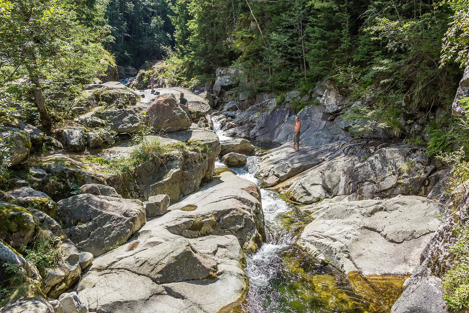
Northern lake network

Masurian Lake District

A northern Polish landscape of linked lakes, forest, sailing towns and former borderland heritage spread across glacial terrain.

Glacial lakesSailing routesForest villages

Location
Warmia-Masuria, Poland
Best window
May-Sep
Suggested stay
3-5 days
Go for
Lake and forest circuit
The reason to go

Great Masurian Lakes route

Connected water and canals create a continuous north-south journey through several distinct lake basins.

Check opening days or local access first, then connect the main site to the surrounding streets, paths or landscape instead of treating it as an isolated stop.

Look a little closer

Worth discovering

The details that make Masurian Lake District different.

Destination view
01

Great Masurian Lakes route

Connected water and canals create a continuous north-south journey through several distinct lake basins.

Destination view
02

Pisz Forest

Large woodland areas give the region an ecological scale that is easy to miss from the busiest marinas.

Destination view
03

Boyen Fortress and borderland history

Military and civic sites show how the lake country occupied a strategic position as well as a recreational one.

Photo journal

A closer look at Masurian Lake District

11 photographs
The full story

The making of Masurian Lake District

A northern Polish landscape of linked lakes, forest, sailing towns and former borderland heritage spread across glacial terrain. The deeper story links its visible features with the people and changes behind them.

The Masurian Lake District is a broad glacial landscape rather than a single resort lake. Waterways, forest, fields and small towns repeat across the region, creating many possible routes by road, bicycle or boat. The largest lakes feel open and expansive, while smaller basins can be intimate and heavily wooded.

The strongest visual shorthand for Masurian Lake District is the experience described as “Great Masurian Lakes route”. Behind it lies a more complex relationship between physical processes, settlement and the modern idea of the place as a destination. Connected water and canals create a continuous north-south journey through several distinct lake basins.

Continue to practical planning
LAWKI,POLAND,EU. - panoramio (16)See the complete photo journal
Physical setting

The physical foundations of the place

Before roads, settlements or protected-area boundaries, the terrain of Masurian Lake District set the basic terms. Low moraines and sandy soils shape a gently rolling terrain. Channels connect some lakes directly, while others are separated by narrow ridges, wetlands or farmland. Forest creates long green corridors, and islands and peninsulas break up the horizon.

The visible shoreline or channel at Masurian Lake District is only one stage in a larger cycle. “Great Masurian Lakes route” demonstrates how flow, season and terrain interact. Connected water and canals create a continuous north-south journey through several distinct lake basins.

Lives and livelihoods

Routes, livelihoods and belonging

Masurian Lake District has been shaped as much by livelihoods and movement as by natural processes. Sailing, fishing, agriculture and tourism all influence the region. Towns such as Gizycko and Mikolajki are busy seasonal hubs, but many villages and quieter shores retain a local rhythm. Fortifications, churches and changing historical borders add depth beyond the recreational image.

At Masurian Lake District, the feature described as “Pisz Forest” offers a second line of evidence. Large woodland areas give the region an ecological scale that is easy to miss from the busiest marinas. Within Masurian Lake District, it shows how local knowledge and practical use became embedded in the landscape.

Turning point

The change that redefined the place

Formal protection changed how Masurian Lake District was described and managed. At Masurian Lake District, new boundaries, visitor rules and conservation priorities created a public identity that still has to coexist with settlements, customary use and economic pressures. At Masurian Lake District, the consequences are clearest where traditional use, protection and tourism occupy the same ground.

Field notes

The small features that reveal the larger pattern

At Masurian Lake District, the feature “Great Masurian Lakes route” provides a precise clue to how the landscape works. Connected water and canals create a continuous north-south journey through several distinct lake basins. Its position and condition at Masurian Lake District connect physical history with the way people use the place now.

Start with the feature “Pisz Forest”, because it condenses a much larger part of the story of Masurian Lake District. Large woodland areas give the region an ecological scale that is easy to miss from the busiest marinas. Its position and condition at Masurian Lake District connect physical history with the way people use the place now.

At Masurian Lake District, the feature “Boyen Fortress and borderland history” is best understood as part of the surrounding system rather than an isolated stop. Military and civic sites show how the lake country occupied a strategic position as well as a recreational one. Its position and condition at Masurian Lake District connect physical history with the way people use the place now.

Season and scale

Season, scale and the present day

At Masurian Lake District, light, water and temperature reveal different structures at different times of year. Late spring offers fresh forest and relatively quiet marinas. Summer is the main boating season and brings the fullest transport and accommodation network. Early autumn can be calm and colourful, while winter freezes some lakes and sharply reduces visitor services.

For Masurian Lake District, the main seasonal constraint is: the strongest planning window is May-Sep. For Masurian Lake District, outside it, check weather, daylight, road or ferry schedules and seasonal closures before committing to a fixed route.

For Masurian Lake District, one practical detail matters: opening days can be more limiting than travel time. For Masurian Lake District, check the principal site first, then organise the wider route around it.

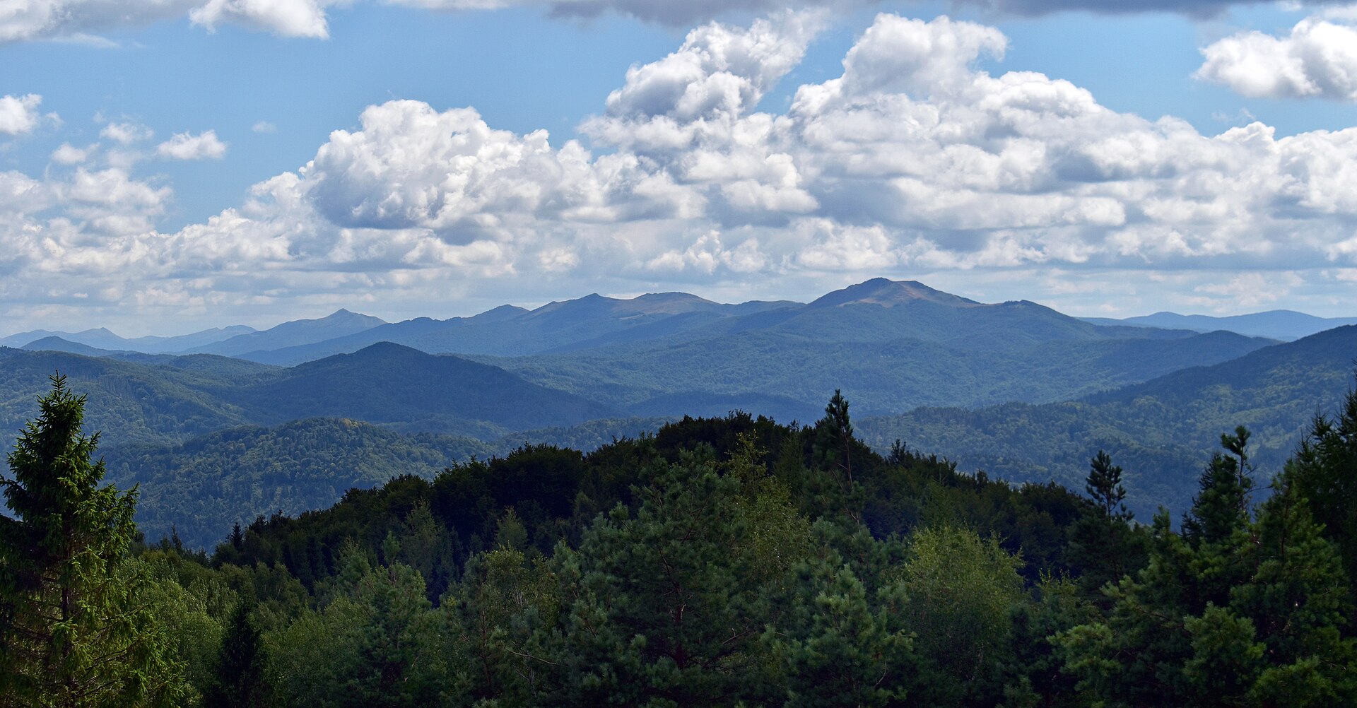
Placed within its wider geography, Masurian Lake District is not an isolated exception. For Masurian Lake District, the wider context shows that, the district links with Warmia, the Pisz Forest and the wider lake country of northeastern Poland. For Masurian Lake District, moving beyond the main sailing towns reveals a more complex landscape of protected wetlands, local agriculture and layered Central European history.
Travel notes

Plan your visit

Time needed
3-5 days
Getting around
Walking locally, with a car or regional transport between stops
Effort
Moderate
Plan first
Opening days and any limited-entry sites
Time of day
Morning and late afternoon
Best window
May-Sep
Traveller stories

Stories from people who have been here.

First-hand moments, practical notes and overlooked details from Masurian Lake District.

Loading traveller stories…

Browse all traveller stories ↗

Keep exploring

Where next?

All place stories