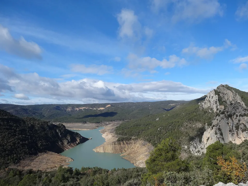
Suspension bridge route

El Saltillo

A village path and old water-channel route lead to a high suspension bridge above the Almanchares gorge.

Suspension bridge routeDramatic routeViewpointsEl Saltillo bridgeAcequia path

Location
Axarquia, Andalusia, Spain
Best window
Oct-May
Suggested stay
Half day
Go for
Village-to-gorge suspension bridge walk
The reason to go

Cross the bridge above the Almanchares gorge

The approach begins among white village streets and irrigation channels before reaching a slender bridge suspended between rugged limestone walls.

Start in the village early and decide whether the bridge is the endpoint or part of a longer mountain circuit.

Look a little closer

Worth discovering

The details that make El Saltillo different.

Destination view
01

El Saltillo bridge

The suspended span crosses a steep ravine with open views toward the Mediterranean foothills.

Destination view
02

Acequia path

Parts of the approach follow the line of a traditional water channel cut into the slope.

Photo journal
03

Canillas de Aceituno

The route begins and ends in a compact white village beneath La Maroma.

Photo journal

A closer look at El Saltillo

11 photographs
Beyond the surface

El Saltillo: land, people and change

A village path and old water-channel route lead to a high suspension bridge above the Almanchares gorge. This account follows the forces, communities and decisions that made the present landscape.

El Saltillo is centred on Axarquia, Andalusia, where a village path and old water-channel route lead to a high suspension bridge above the Almanchares gorge. The strongest reason to make the journey is to cross the bridge above the Almanchares gorge.

Visitors often encounter El Saltillo through the idea of “Cross the bridge above the Almanchares gorge”, but the destination is more than that single scene. Its landscape carries evidence of work, movement, adaptation and environmental change. The approach begins among white village streets and irrigation channels before reaching a slender bridge suspended between rugged limestone walls.

Continue to practical planning
Alcaucín - Canillas de Aceituno, Abril 2013 (8624734037)See the complete photo journal
Landform

From underlying structure to visible landscape

At El Saltillo, the form of the landscape explains many of the choices that came later. Changes in height, rock, water and exposure make the sequence important: the approach, the most engineered or natural passage and the final overlook each reveal a different part of Axarquia, Andalusia.

A route records decisions about gradient, exposure and access. At El Saltillo, “El Saltillo bridge” shows why this line was chosen and what kind of movement it was designed to permit. The suspended span crosses a steep ravine with open views toward the Mediterranean foothills.

Settlement and memory

The human landscape behind the scenery

El Saltillo follows the logic of an acequia: a narrow water channel engineered to bring mountain water toward the settlements and cultivated slopes of the Axarquia. Its ledges and passages were shaped by the practical need to inspect and maintain that supply.

The modern suspension bridge extended the walking circuit and became the most photographed element, but the older water infrastructure is the reason a route exists on the cliff at all. Canillas de Aceituno's agricultural history is written into the channel, terraces and access paths.

Reorganisation

The modern turning point

The route changed from a largely local maintenance line into a major hiking attraction after new safety works and the long bridge were completed, increasing visitor pressure on a path with limited width and exposed terrain.

Details to read

What to read in the landscape

Start with the feature “El Saltillo bridge”, because it condenses a much larger part of the story of El Saltillo. The suspended span crosses a steep ravine with open views toward the Mediterranean foothills. Its position and condition at El Saltillo connect physical history with the way people use the place now.

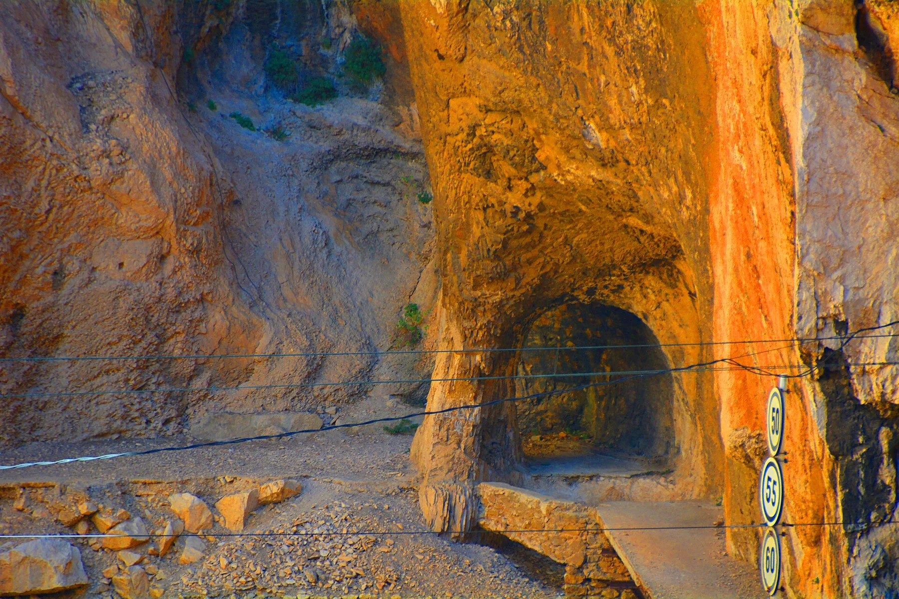
At El Saltillo, the feature “Acequia path” is best understood as part of the surrounding system rather than an isolated stop. Parts of the approach follow the line of a traditional water channel cut into the slope. Within El Saltillo, the feature explains why this destination differs from nearby landscapes.

At El Saltillo, the feature “Canillas de Aceituno” is best understood as part of the surrounding system rather than an isolated stop. The route begins and ends in a compact white village beneath La Maroma. Its position and condition at El Saltillo connect physical history with the way people use the place now.

Season and scale

Why the landscape still feels dynamic

At El Saltillo, season is part of the landscape history, not merely a planning detail. For El Saltillo, the most reliable visiting window is Oct-May.

For El Saltillo, one practical detail matters: summer heat can make the exposed approach unpleasant. For El Saltillo, confirm current trail conditions after heavy rain or maintenance works.

For El Saltillo, the most useful visiting period is: morning for clear views and cooler ascent.

Placed within its wider geography, El Saltillo is not an isolated exception. Beyond the best-known image of El Saltillo crossing, El Saltillo is useful because acequia path and canillas de aceituno place the route inside a broader landscape story.

Chronology

Key dates

  1. Water carried along the slope

    An irrigation channel and its maintenance path linked mountain springs with cultivated land around Canillas de Aceituno.

  2. A new suspension bridge

    A long footbridge expanded the circuit and rapidly raised the route's public profile.

  3. A working landscape under visitor pressure

    The acequia remains the key to understanding why the cliff path exists and how it should be used.

Travel notes

Plan your visit

Time needed
Half day
Getting around
Walking from Canillas de Aceituno
Effort
Moderate; exposed bridge
Plan first
Heat, water and route extension choice
Time of day
Morning for clear views and cooler ascent
Best window
Oct-May
Traveller stories

Stories from people who have been here.

First-hand moments, practical notes and overlooked details from El Saltillo.

Loading traveller stories…

Browse all traveller stories ↗

Keep exploring

Where next?

All place stories