River oasis
Irrigated fields and villages create a vivid green axis through otherwise arid terrain.
Build the visit around sunrise or late afternoon. Low light reveals relief, animal movement and surface colour that disappear around midday.
Irrigated vineyards and villages follow a narrow green corridor between dry Andean slopes under exceptionally clear skies.
Irrigated fields and villages create a vivid green axis through otherwise arid terrain.
Build the visit around sunrise or late afternoon. Low light reveals relief, animal movement and surface colour that disappear around midday.
The details that make Elqui Valley different.
Irrigated fields and villages create a vivid green axis through otherwise arid terrain.
Scientific and public astronomy make the clear night sky part of the valley's cultural identity.
Vineyards and distillation connect climate, agriculture and regional production.
Irrigated vineyards and villages follow a narrow green corridor between dry Andean slopes under exceptionally clear skies. Its character becomes clearer when geology, settlement and modern protection are considered together.
The Elqui Valley is defined by contrast. A narrow ribbon of irrigated agriculture follows the river through dry mountains, creating fields, orchards and villages beneath bare, mineral-coloured slopes. Above, the region's clear atmosphere has attracted major observatories and made the night sky central to its modern identity.
The strongest visual shorthand for Elqui Valley is the experience described as “River oasis”. Behind it lies a more complex relationship between physical processes, settlement and the modern idea of the place as a destination. Irrigated fields and villages create a vivid green axis through otherwise arid terrain.
Continue to practical planningAt Elqui Valley, the physical story begins with the structure of the ground. The valley narrows as it rises toward the Andes, while tributary valleys and side roads reveal different elevations and microclimates. Sparse vegetation exposes geology and topography, making the pattern of water use immediately visible. Terraces and reservoirs show how carefully the river is managed.
Altitude turns distance into effort and creates abrupt ecological boundaries. At Elqui Valley, “River oasis” provides a useful reference point for understanding that vertical structure. Irrigated fields and villages create a vivid green axis through otherwise arid terrain.
At Elqui Valley, daily life gives the terrain a historical meaning that a viewpoint alone cannot provide. Grapes, pisco production, small towns and the legacy of poet Gabriela Mistral contribute to the cultural landscape. Astronomy has added a new layer through scientific facilities and public observatories. The result is a region where agriculture, literature and sky observation coexist within the same corridor.
At Elqui Valley, the feature described as “Observatory landscape” offers a second line of evidence. Scientific and public astronomy make the clear night sky part of the valley's cultural identity. Within Elqui Valley, it shows how local knowledge and practical use became embedded in the landscape.
Economic use reorganised the landscape of Elqui Valley. At Elqui Valley, extraction, farming or engineered infrastructure created routes and clearings that still influence settlement and the scenery interpreted as natural today. At Elqui Valley, that transition remains visible in the contrast between older working features and visitor infrastructure.
At Elqui Valley, the feature “River oasis” provides a precise clue to how the landscape works. Irrigated fields and villages create a vivid green axis through otherwise arid terrain. At Elqui Valley, the detail links local scale with the wider regional pattern.
At Elqui Valley, the feature “Observatory landscape” is best understood as part of the surrounding system rather than an isolated stop. Scientific and public astronomy make the clear night sky part of the valley's cultural identity. At Elqui Valley, it gives a concrete reference point for reading change rather than merely collecting viewpoints.
At Elqui Valley, the feature “Pisco country” is best understood as part of the surrounding system rather than an isolated stop. Vineyards and distillation connect climate, agriculture and regional production. For Elqui Valley, that relationship is more informative than treating the feature only as a photograph or checklist item.
At Elqui Valley, season is part of the landscape history, not merely a planning detail. Dry conditions dominate much of the year, with warm days and cooler nights. Winter can bring snow to higher Andes and occasional rain to the valley, while summer intensifies heat and agricultural activity. Clear skies are frequent but not guaranteed, especially during coastal cloud or changing mountain weather.
For Elqui Valley, the main seasonal constraint is: the strongest planning window is Mar-Nov. For Elqui Valley, outside it, check weather, daylight, road or ferry schedules and seasonal closures before committing to a fixed route.
For Elqui Valley, one practical detail matters: distances, fuel, food and mobile coverage can be less predictable than the map suggests. For Elqui Valley, carry offline maps and keep a margin in the schedule.
Placed within its wider geography, Elqui Valley is not an isolated exception. For Elqui Valley, the wider context shows that, elqui connects the Pacific city of La Serena with high Andean passes and the border region toward Argentina. For Elqui Valley, nearby Limari and Choapa valleys show other ways water and settlement occupy Chile's Norte Chico transition zone.
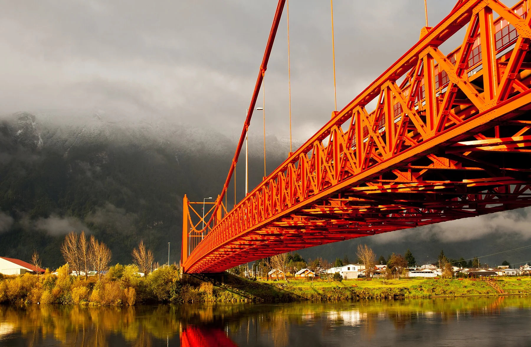
Glacial rivers, forested mountains, steppe and fjords meet along a sparsely settled section of Chilean Patagonia.
Explore this place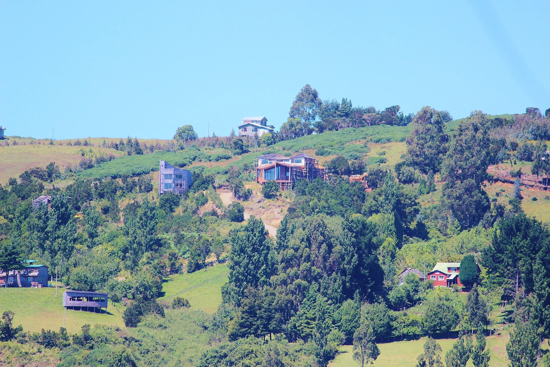
Wooden churches, stilt houses, temperate rainforest and a deeply indented coast define an archipelago with a strong island culture.
Explore this place
A jagged subantarctic mountain circuit above the Beagle Channel, with peat bogs, lakes and severe weather near the southern edge of inhabited South America.
Explore this place