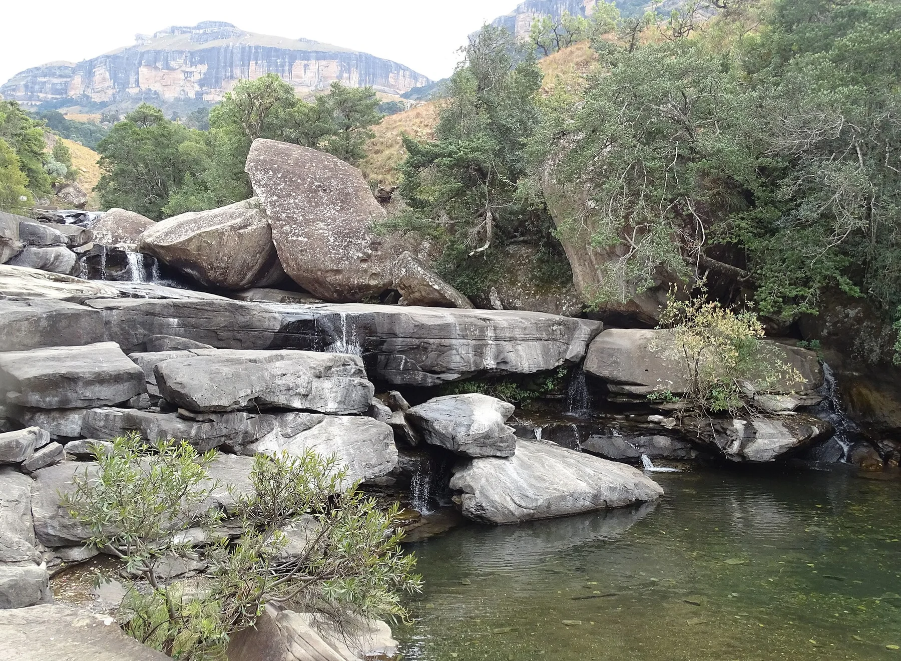
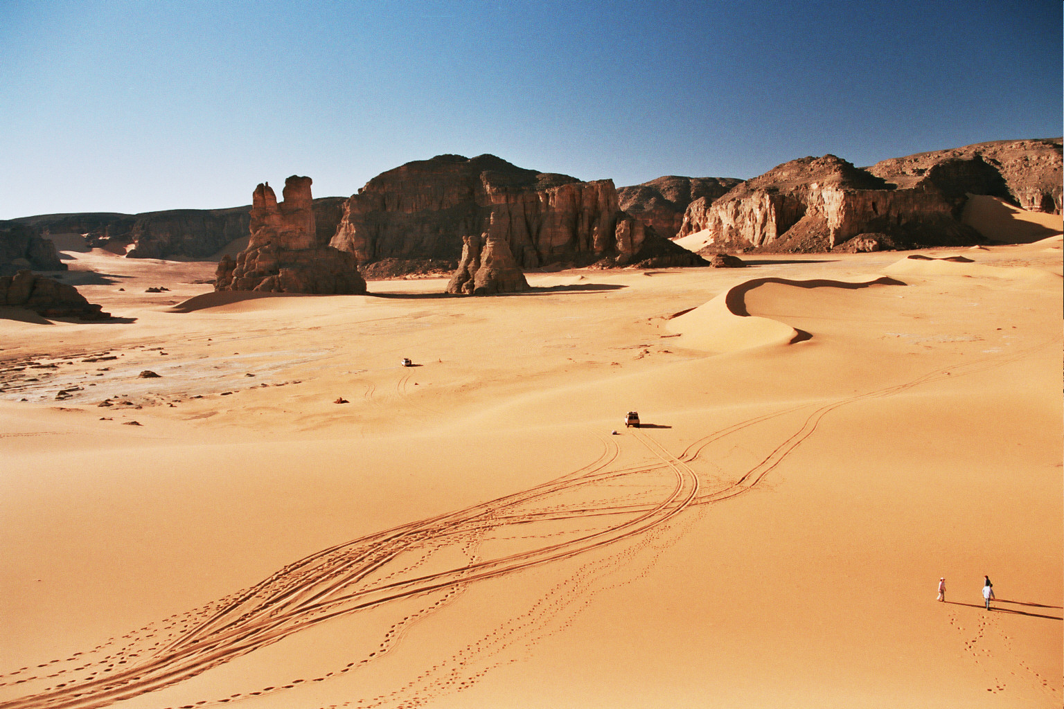
At Ennedi Massif, light, water and temperature reveal different structures at different times of year. The cooler months from November to February provide the most viable conditions for extended travel. Day and night temperatures can still vary sharply, and water access remains a central planning constraint. Summer heat is extreme, while rare rain can rapidly transform dry channels and isolated basins.
For Ennedi Massif, the main seasonal constraint is: the strongest planning window is Nov-Feb. For Ennedi Massif, outside it, check weather, daylight, road or ferry schedules and seasonal closures before committing to a fixed route.
For Ennedi Massif, one practical detail matters: distances, fuel, food and mobile coverage can be less predictable than the map suggests. For Ennedi Massif, carry offline maps and keep a margin in the schedule.
Placed within its wider geography, Ennedi Massif is not an isolated exception. For Ennedi Massif, the wider context shows that, ennedi belongs to a larger Saharan cultural and geological zone extending toward Tibesti, Sudan and Libya. For Ennedi Massif, its rock art and water refuges reveal that the desert has never been an empty barrier; it has repeatedly supported movement, pastoral life and exchange across northeast Africa.