Iberian oak country

Extremadura Dehesa

Open oak woodland, grazing land, stone villages and large skies define a working cultural landscape across western Spain.

Holm oaksPastoral landscapeHistoric towns

Location
Western Iberia, Spain
Best window
Mar-Jun, Sep-Nov
Suggested stay
3-5 days
Go for
Slow rural and wildlife route
The reason to go

Monfrague horizons

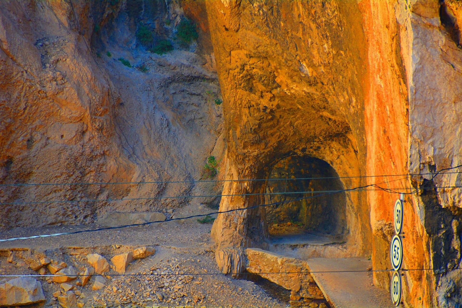
Rocky river gorges rise from the surrounding oak country and concentrate raptors above a much larger pastoral landscape.

Arrange a local guide or boat where appropriate and use the first or final hours of daylight, when water, wildlife and temperature usually make the experience strongest.

Look a little closer

Worth discovering

The details that make Extremadura Dehesa different.

Destination view
01

Monfrague horizons

Rocky river gorges rise from the surrounding oak country and concentrate raptors above a much larger pastoral landscape.

Destination view
02

Trujillo and granite towns

Historic centres provide a strong built contrast to the open dehesa and connect rural routes with regional history.

Destination view
03

Seasonal grazing country

Changes in grass, livestock movement and acorn production make the working calendar visible across the land.

Photo journal

A closer look at Extremadura Dehesa

4 photographs
Beyond the surface

The landscape memory of Extremadura Dehesa

Open oak woodland, grazing land, stone villages and large skies define a working cultural landscape across western Spain. This account follows the forces, communities and decisions that made the present landscape.

Extremadura Dehesa is best approached through the relationship between its setting and its lived landscape. The dehesa is not wilderness in the conventional sense but a long-managed mosaic of open holm-oak woodland, pasture and cultivated ground. Across Extremadura it creates broad, park-like views where trees are spaced enough for grazing and agriculture while still supporting a rich ecological network.

Many visits to Extremadura Dehesa begin with the experience described as “Monfrague horizons”. The more revealing question is why it exists here, how people used the surrounding ground and what remains visible from earlier phases. Rocky river gorges rise from the surrounding oak country and concentrate raptors above a much larger pastoral landscape.

Continue to practical planning
Extremadura Dehesa — view 4See the complete photo journal
Landform

Why the terrain has this form

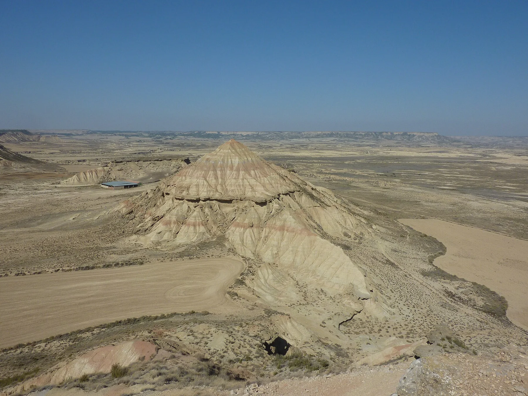
At Extremadura Dehesa, the physical story begins with the structure of the ground. Low hills and plains dominate, with granite outcrops, reservoirs and river valleys adding local variation. The repeated pattern of dark oak crowns over pale grass becomes especially powerful at regional scale. Seasonal colour changes are pronounced, from spring green to the dry gold of late summer.

Architecture at Extremadura Dehesa responds to environment as much as style. “Monfrague horizons” makes that relationship particularly clear. Rocky river gorges rise from the surrounding oak country and concentrate raptors above a much larger pastoral landscape.

Settlement and memory

Routes, livelihoods and belonging

At Extremadura Dehesa, people learned to work with the landscape limits rather than arriving after its story was complete. Livestock, cork, acorns and seasonal farming have shaped the dehesa for centuries. Historic towns, isolated farmsteads and transhumance routes connect the landscape to a wider rural economy. The result is a place where biodiversity and production cannot be separated cleanly.

At Extremadura Dehesa, “Trujillo and granite towns” should not be treated as a decorative detail. Historic centres provide a strong built contrast to the open dehesa and connect rural routes with regional history. The feature records how construction, movement or livelihood adapted to local conditions at Extremadura Dehesa.

Turning point

A landscape reorganised

Formal protection changed how Extremadura Dehesa was described and managed. At Extremadura Dehesa, new boundaries, visitor rules and conservation priorities created a public identity that still has to coexist with settlements, customary use and economic pressures. At Extremadura Dehesa, that transition remains visible in the contrast between older working features and visitor infrastructure.

On the ground

Landmarks that carry the deeper story

At Extremadura Dehesa, the feature “Monfrague horizons” provides a precise clue to how the landscape works. Rocky river gorges rise from the surrounding oak country and concentrate raptors above a much larger pastoral landscape. For Extremadura Dehesa, that relationship is more informative than treating the feature only as a photograph or checklist item.

Look closely at the feature “Trujillo and granite towns” in Extremadura Dehesa; it carries information that a panoramic view can miss. Historic centres provide a strong built contrast to the open dehesa and connect rural routes with regional history. For Extremadura Dehesa, that relationship is more informative than treating the feature only as a photograph or checklist item.

At Extremadura Dehesa, the feature “Seasonal grazing country” provides a precise clue to how the landscape works. Changes in grass, livestock movement and acorn production make the working calendar visible across the land. Its position and condition at Extremadura Dehesa connect physical history with the way people use the place now.

Present day

What continues to change

A single visit to Extremadura Dehesa captures only one phase of its annual cycle. Spring is the most colourful period, with wildflowers, active birdlife and comfortable temperatures. Autumn brings softer light and renewed pasture after rain. Mid-summer is intensely hot and visually austere, while winter can be cool but remains useful for wildlife and cultural routes.

For Extremadura Dehesa, the main seasonal constraint is: the strongest planning window is Mar-Jun, Sep-Nov. For Extremadura Dehesa, outside it, check weather, daylight, road or ferry schedules and seasonal closures before committing to a fixed route.

For Extremadura Dehesa, one practical detail matters: distances, fuel, food and mobile coverage can be less predictable than the map suggests. For Extremadura Dehesa, carry offline maps and keep a margin in the schedule.

Placed within its wider geography, Extremadura Dehesa is not an isolated exception. For Extremadura Dehesa, the wider context shows that, the dehesa extends beyond individual protected areas and links landscapes around Monfrague, Caceres, Trujillo and the Portuguese border. For Extremadura Dehesa, moving through the region reveals how woodland, pasture, historic settlement and river systems form one continuous cultural geography.

Travel notes

Plan your visit

Time needed
3-5 days
Getting around
4x4 or local driver, with short walks at the main sites
Effort
Moderate to demanding
Plan first
Main transport and accommodation
Time of day
Early morning and late afternoon
Best window
Mar-Jun, Sep-Nov
Traveller stories

Stories from people who have been here.

First-hand moments, practical notes and overlooked details from Extremadura Dehesa.

Loading traveller stories…

Browse all traveller stories ↗

Keep exploring

Where next?

All place stories