Khongoryn Els
Long dune ridges create the park's most monumental desert form.
Start early and make this the first exposed stop of the day. Keep a lower route ready if cloud, heat, wind or trail conditions change during May-Sep.
Mountain ranges, dune fields, fossil country and cold desert valleys create a varied landscape within Mongolia's South Gobi.
Long dune ridges create the park's most monumental desert form.
Start early and make this the first exposed stop of the day. Keep a lower route ready if cloud, heat, wind or trail conditions change during May-Sep.
The details that make Gobi Gurvansaikhan different.
Long dune ridges create the park's most monumental desert form.
A narrow mountain gorge introduces shade, ice and wildlife into the wider arid region.
Herding patterns reveal a lived geography based on water, pasture and seasonal mobility.
Mountain ranges, dune fields, fossil country and cold desert valleys create a varied landscape within Mongolia's South Gobi. This account follows the forces, communities and decisions that made the present landscape.
Gobi Gurvansaikhan National Park covers a vast section of southern Mongolia where mountain ranges interrupt the open desert. The region contains dunes, rocky basins, fossil sites and narrow valleys rather than one uniform expanse. Long distances between features make travel itself part of the landscape, with horizon, weather and navigation shaping the experience.
Visitors often encounter Gobi Gurvansaikhan through the idea of “Khongoryn Els”, but the destination is more than that single scene. Its landscape carries evidence of work, movement, adaptation and environmental change. Long dune ridges create the park's most monumental desert form.
Continue to practical planningUnderstanding Gobi Gurvansaikhan starts below the visible surface. The Gurvan Saikhan mountains rise above gravel plains and support cooler habitats at elevation. Khongoryn Els forms a major dune system, while Yolyn Am narrows into a shaded gorge where ice can persist unusually late. Red cliffs and eroded formations elsewhere reveal geological layers associated with internationally significant fossil discoveries.
Colour and form at Gobi Gurvansaikhan are the result of long physical processes. “Khongoryn Els” helps distinguish the underlying structure from the surface image seen in photographs. Long dune ridges create the park's most monumental desert form.
At Gobi Gurvansaikhan, people learned to work with the landscape limits rather than arriving after its story was complete. Nomadic herding communities move livestock through a region where water and seasonal pasture determine viable routes. Ger camps and small settlements provide the practical network for visitors and residents alike. Mining, tourism and conservation now overlap across the South Gobi, creating difficult questions about water use, access and the future of mobile pastoral life.
At Gobi Gurvansaikhan, “Yolyn Am” should not be treated as a decorative detail. A narrow mountain gorge introduces shade, ice and wildlife into the wider arid region. The feature records how construction, movement or livelihood adapted to local conditions at Gobi Gurvansaikhan.
Formal protection changed how Gobi Gurvansaikhan was described and managed. At Gobi Gurvansaikhan, new boundaries, visitor rules and conservation priorities created a public identity that still has to coexist with settlements, customary use and economic pressures. At Gobi Gurvansaikhan, the consequences are clearest where traditional use, protection and tourism occupy the same ground.
At Gobi Gurvansaikhan, the feature “Khongoryn Els” provides a precise clue to how the landscape works. Long dune ridges create the park's most monumental desert form. For Gobi Gurvansaikhan, that relationship is more informative than treating the feature only as a photograph or checklist item.
At Gobi Gurvansaikhan, the feature “Yolyn Am” is one of the most useful pieces of visible evidence. A narrow mountain gorge introduces shade, ice and wildlife into the wider arid region. For Gobi Gurvansaikhan, that relationship is more informative than treating the feature only as a photograph or checklist item.
At Gobi Gurvansaikhan, the feature “Pastoral desert routes” is one of the most useful pieces of visible evidence. Herding patterns reveal a lived geography based on water, pasture and seasonal mobility. Its position and condition at Gobi Gurvansaikhan connect physical history with the way people use the place now.
At Gobi Gurvansaikhan, light, water and temperature reveal different structures at different times of year. Late spring and early autumn avoid the strongest summer heat and the most severe winter cold. Summer days can be hot while nights remain cool, especially near the mountains. Wind, dust and rapid temperature changes are normal, and winter conditions are extreme across exposed plains.
For Gobi Gurvansaikhan, the main seasonal constraint is: the strongest planning window is May-Sep. For Gobi Gurvansaikhan, outside it, check weather, daylight, road or ferry schedules and seasonal closures before committing to a fixed route.
For Gobi Gurvansaikhan, one practical detail matters: distances, fuel, food and mobile coverage can be less predictable than the map suggests. For Gobi Gurvansaikhan, carry offline maps and keep a margin in the schedule.
Placed within its wider geography, Gobi Gurvansaikhan is not an isolated exception. For Gobi Gurvansaikhan, the wider context shows that, the park connects with Dalanzadgad, the Flaming Cliffs and broader desert routes toward the Chinese border. For Gobi Gurvansaikhan, seen as part of the South Gobi, it demonstrates how mountain ecology, paleontology, nomadic land use and industrial development meet within one of Asia's largest open landscapes.

Forest-steppe, river headwaters and broad mountain valleys form a quieter, greener Mongolia east of the central grasslands.
Explore this place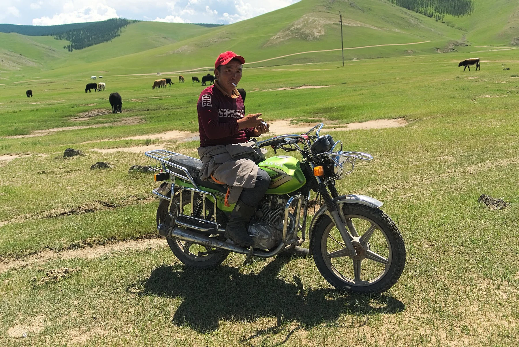
A wide grassland corridor where rivers, volcanic terrain, herding camps and traces of former capitals reveal Mongolia's long mobile history.
Explore this place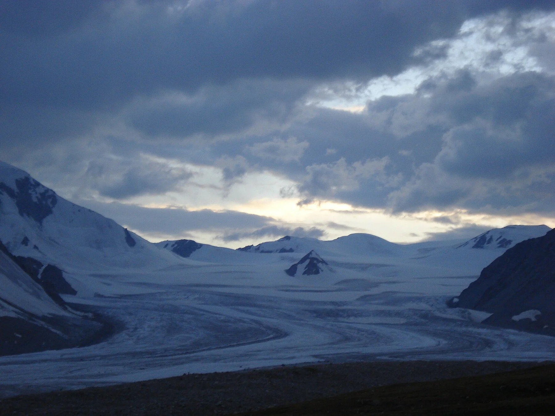
Glaciers, high peaks and open steppe meet at Mongolia’s western edge near the borders with China and Russia.
Explore this place