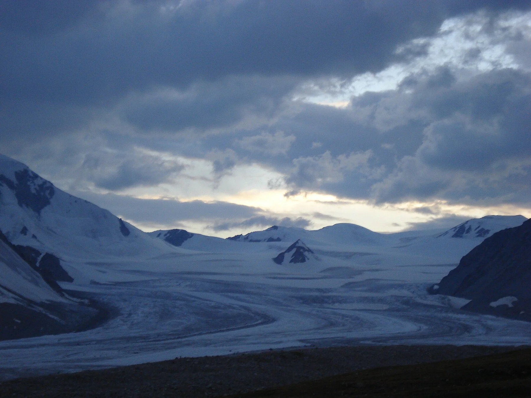
Mongolian forest-steppe

Khentii Mountains

Forest-steppe, river headwaters and broad mountain valleys form a quieter, greener Mongolia east of the central grasslands.

River headwatersTaiga edgeNomadic valleys

Location
Northeastern Mongolia, Mongolia
Best window
Jun-Sep
Suggested stay
3-5 days
Go for
Forest-steppe expedition
The reason to go

Follow the Onon River into the forest-steppe

The Khentii are most memorable at the forest-steppe boundary, where larch-covered ridges, open grazing land and the headwaters of the Onon create a landscape that changes character within a single day.

Use a local driver or guide, allow time for rough tracks and avoid treating sacred or restricted areas as ordinary hiking terrain. Confirm current local access before setting the route.

Look a little closer

Worth discovering

The details that make Khentii Mountains different.

Destination view
01

Onon river headwaters

Forest, meadow and river channels create a landscape tied closely to Mongolian historical memory.

Destination view
02

Burkhan Khaldun region

Sacred mountain country combines cultural meaning with remote forested terrain and restricted access.

Destination view
03

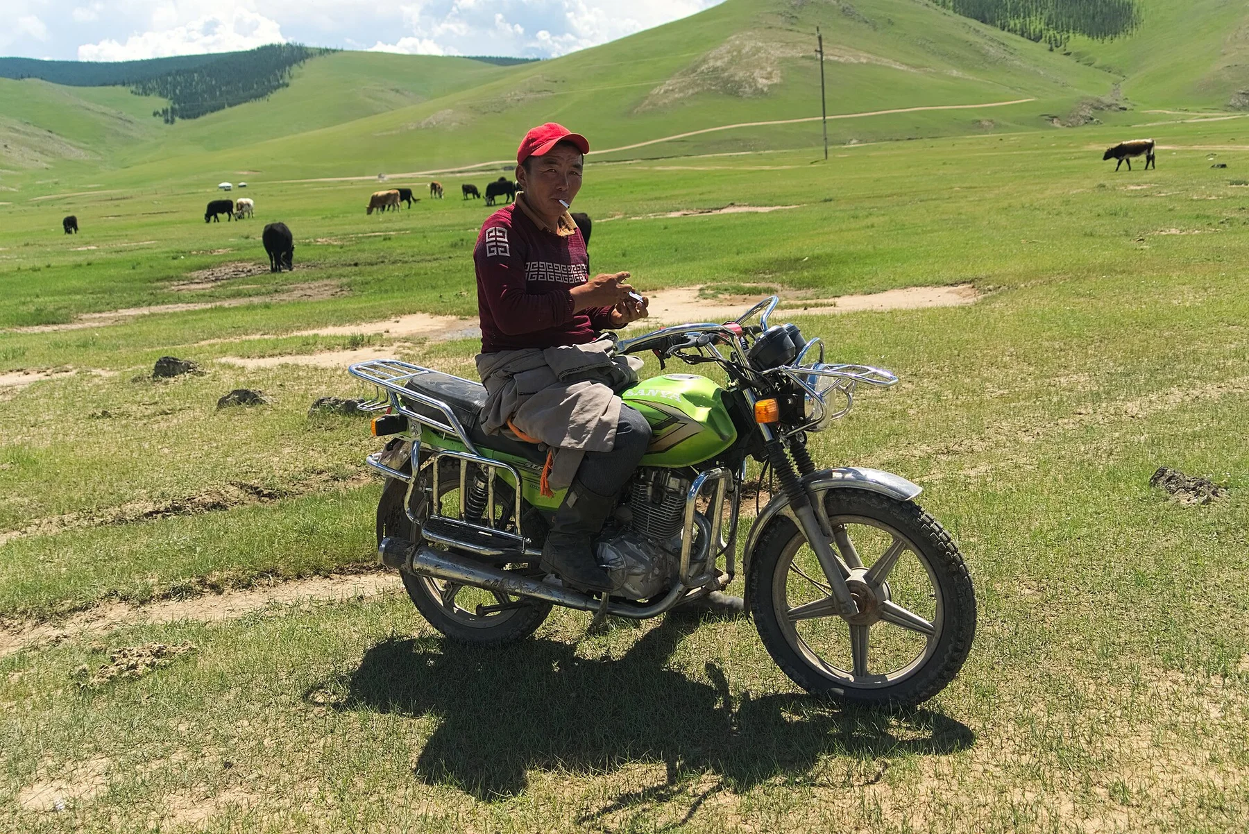
Open herding valleys

Seasonal camps and broad grassland show how human use fits within the surrounding mountain forest.

Photo journal

A closer look at Khentii Mountains

12 photographs
Origins and change

Khentii Mountains: the story behind the landscape

Forest-steppe, river headwaters and broad mountain valleys form a quieter, greener Mongolia east of the central grasslands. This account follows the forces, communities and decisions that made the present landscape.

The Khentii Mountains rise northeast of Ulaanbaatar as a broad region of forested ridges, open valleys and major river headwaters. Compared with the classic image of treeless Mongolian steppe, the landscape is greener and more enclosed, with larch and birch extending across north-facing slopes.

The strongest visual shorthand for Khentii Mountains is the experience described as “Follow the Onon River into the forest-steppe”. Behind it lies a more complex relationship between physical processes, settlement and the modern idea of the place as a destination. The Khentii are most memorable at the forest-steppe boundary, where larch-covered ridges, open grazing land and the headwaters of the Onon create a landscape that changes character within a single day.

Continue to practical planning
Die Schotterebene des Cherlen und angrenzende Berge, MongoleiSee the complete photo journal
Physical setting

How the landscape was assembled

Understanding Khentii Mountains starts below the visible surface. Rivers, wetlands and low mountain passes shape travel through the region. Valleys open into grazing land, while higher ground becomes increasingly forested and roadless. The lack of dense infrastructure preserves a strong sense of distance even where elevations are moderate.

Relief controls far more than the view. At Khentii Mountains, “Onon river headwaters” reveals how elevation divides vegetation, weather, water and the routes available to people. Forest, meadow and river channels create a landscape tied closely to Mongolian historical memory.

Human history

Settlement, movement and local knowledge

Khentii Mountains has been shaped as much by livelihoods and movement as by natural processes. Nomadic herding, small settlements and historical associations with Chinggis Khaan give the mountains cultural significance. Sacred sites and seasonal camps require respectful local guidance. Travel is often organised around tracks, river crossings and the practical knowledge of drivers and hosts.

At Khentii Mountains, the feature described as “Burkhan Khaldun region” offers a second line of evidence. Sacred mountain country combines cultural meaning with remote forested terrain and restricted access. Within Khentii Mountains, it shows how local knowledge and practical use became embedded in the landscape.

Turning point

A landscape reorganised

The decisive modern change at Khentii Mountains was access. At Khentii Mountains, transport and visitor infrastructure made the landscape easier to reach while concentrating pressure at the few points where roads, boats or trails enter it. At Khentii Mountains, the consequences are clearest where traditional use, protection and tourism occupy the same ground.

On the ground

Three details that explain the whole place

At Khentii Mountains, the feature “Onon river headwaters” is one of the most useful pieces of visible evidence. Forest, meadow and river channels create a landscape tied closely to Mongolian historical memory. Within Khentii Mountains, it is both an attraction and a record of the processes described above.

At Khentii Mountains, the feature “Burkhan Khaldun region” provides a precise clue to how the landscape works. Sacred mountain country combines cultural meaning with remote forested terrain and restricted access. Within Khentii Mountains, the feature explains why this destination differs from nearby landscapes.

At Khentii Mountains, the feature “Open herding valleys” provides a precise clue to how the landscape works. Seasonal camps and broad grassland show how human use fits within the surrounding mountain forest. Within Khentii Mountains, it is both an attraction and a record of the processes described above.

Present day

A living landscape, not a frozen scene

A single visit to Khentii Mountains captures only one phase of its annual cycle. Summer is the principal access period, bringing green valleys and long daylight. Rain can make tracks difficult, and insects can be intense near water. Autumn arrives early with cold nights and yellow forest, while winter conditions are severe.

For Khentii Mountains, the main seasonal constraint is: the strongest planning window is Jun-Sep. For Khentii Mountains, outside it, check weather, daylight, road or ferry schedules and seasonal closures before committing to a fixed route.

For Khentii Mountains, one practical detail matters: distances, fuel, food and mobile coverage can be less predictable than the map suggests. For Khentii Mountains, carry offline maps and keep a margin in the schedule.

Placed within its wider geography, Khentii Mountains is not an isolated exception. For Khentii Mountains, the wider context shows that, the Khentii region feeds rivers flowing toward both the Pacific and Arctic basins. For Khentii Mountains, its wider importance lies in this watershed role and in the transition between central steppe and Siberian taiga.

Travel notes

Plan your visit

Time needed
3-5 days
Getting around
4x4 or local driver, with short walks at the main sites
Effort
Moderate to demanding
Plan first
Main transport and accommodation
Time of day
Start early for clearer conditions and more time
Best window
Jun-Sep
Traveller stories

Stories from people who have been here.

First-hand moments, practical notes and overlooked details from Khentii Mountains.

Loading traveller stories…

Browse all traveller stories ↗

Keep exploring

Where next?

All place stories