Coastal temperate rainforest
Ancient forest grows directly beside fjords, estuaries and marine channels.
Plan the least frequent boat, ferry or exposed coastal section first. Use early or late light and keep a weather alternative during May-Sep.
Temperate rainforest, fjords, islands and Indigenous territories form a vast coastal landscape on British Columbia's Pacific edge.
Ancient forest grows directly beside fjords, estuaries and marine channels.
Plan the least frequent boat, ferry or exposed coastal section first. Use early or late light and keep a weather alternative during May-Sep.
The details that make Great Bear Rainforest different.
Ancient forest grows directly beside fjords, estuaries and marine channels.
First Nations governance and knowledge are fundamental to conservation and access.
Migrating fish connect ocean productivity with bears, forests and inland rivers.
Temperate rainforest, fjords, islands and Indigenous territories form a vast coastal landscape on British Columbia's Pacific edge. The deeper story links its visible features with the people and changes behind them.
The Great Bear Rainforest covers a vast section of British Columbia's central and northern coast, where temperate rainforest descends through fjords and islands to the Pacific. There is no single entrance or viewpoint; the region is experienced through coastal communities, waterways and protected valleys. Its scale is ecological, cultural and political at the same time.
The strongest visual shorthand for Great Bear Rainforest is the experience described as “Coastal temperate rainforest”. Behind it lies a more complex relationship between physical processes, settlement and the modern idea of the place as a destination. Ancient forest grows directly beside fjords, estuaries and marine channels.
Continue to practical planningThe first layer of Great Bear Rainforest is geological and ecological rather than scenic. Heavy rainfall supports cedar, spruce and hemlock forests of exceptional age and biomass. Glaciated channels cut deep into the Coast Mountains, while estuaries concentrate salmon and wildlife. Islands, rocky shorelines and forested river systems create a continuous land-sea relationship rather than a clean boundary between terrestrial and marine environments.
Forest history at Great Bear Rainforest is often visible through openings, old routes and changes in species rather than monuments. “Coastal temperate rainforest” is one such point of evidence. Ancient forest grows directly beside fjords, estuaries and marine channels.
Great Bear Rainforest has been shaped as much by livelihoods and movement as by natural processes. The territories of many First Nations extend across the rainforest and coast, with governance, stewardship and cultural knowledge central to the region's future. Communities rely on marine transport, fisheries, forestry and emerging conservation economies. Agreements over land use have created globally significant models, though industrial pressure and climate change remain active concerns.
The role of “Indigenous stewardship” is especially revealing at Great Bear Rainforest. First Nations governance and knowledge are fundamental to conservation and access. In the history of Great Bear Rainforest, it connects the wider regional context with a specific place that can still be examined today.
Formal protection changed how Great Bear Rainforest was described and managed. At Great Bear Rainforest, new boundaries, visitor rules and conservation priorities created a public identity that still has to coexist with settlements, customary use and economic pressures. Great Bear Rainforest should therefore be read as an evolving cultural landscape rather than a timeless scene.
At Great Bear Rainforest, the feature “Coastal temperate rainforest” is best understood as part of the surrounding system rather than an isolated stop. Ancient forest grows directly beside fjords, estuaries and marine channels. Within Great Bear Rainforest, the feature explains why this destination differs from nearby landscapes.
At Great Bear Rainforest, the feature “Indigenous stewardship” provides a precise clue to how the landscape works. First Nations governance and knowledge are fundamental to conservation and access. At Great Bear Rainforest, the detail links local scale with the wider regional pattern.
Look closely at the feature “Salmon watersheds” in Great Bear Rainforest; it carries information that a panoramic view can miss. Migrating fish connect ocean productivity with bears, forests and inland rivers. Its position and condition at Great Bear Rainforest connect physical history with the way people use the place now.
At Great Bear Rainforest, season is part of the landscape history, not merely a planning detail. Late spring through early autumn provides the broadest boat access and the longest daylight. Salmon runs and wildlife activity vary by river and month, so timing depends on the part of the coast being visited. Winter storms, heavy rain and limited transport reinforce the region's remoteness.
For Great Bear Rainforest, the main seasonal constraint is: the strongest planning window is May-Sep. For Great Bear Rainforest, outside it, check weather, daylight, road or ferry schedules and seasonal closures before committing to a fixed route.
For Great Bear Rainforest, one practical detail matters: distances, fuel, food and mobile coverage can be less predictable than the map suggests. For Great Bear Rainforest, carry offline maps and keep a margin in the schedule.
Placed within its wider geography, Great Bear Rainforest is not an isolated exception. The Great Bear Rainforest connects the Inside Passage, Haida Gwaii, the Coast Mountains and Southeast Alaska. For Great Bear Rainforest, it is best understood as part of a larger northeast Pacific system in which salmon, ocean currents, Indigenous territories and old-growth forest cross administrative boundaries.
Rainforest islands, exposed Pacific beaches and Haida cultural landscapes lie off the northern coast of British Columbia.
Explore this place
Limestone canyons, waterfalls and a long shipwreck coast define a large island in the Gulf of St Lawrence.
Explore this place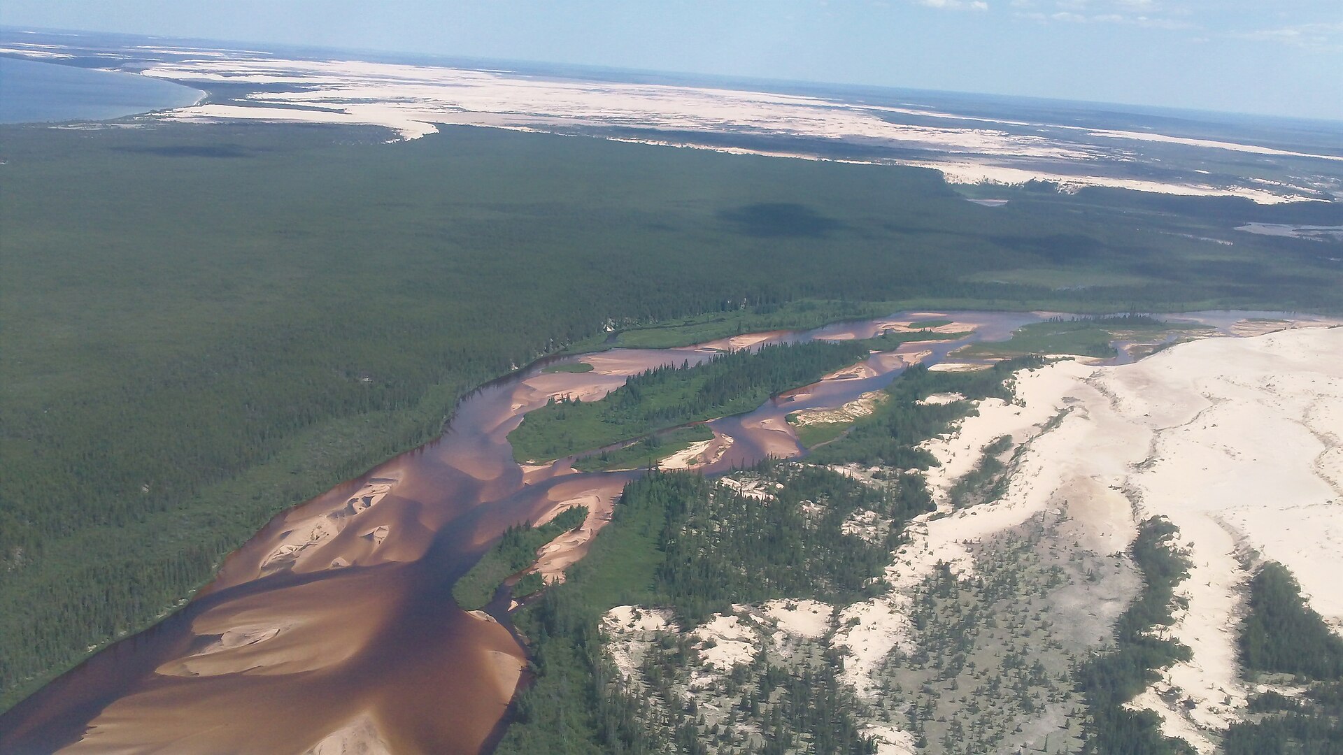
Canada's largest active dune field runs along the south shore of Lake Athabasca and supports rare endemic plants.
Explore this place