Rainbow Valley
Mineral-rich slopes display an unusual range of colours.
Plan the least frequent boat, ferry or exposed coastal section first. Use early or late light and keep a weather alternative during Nov-Mar.
Multicoloured earth, salt formations and a strategic island history meet at the entrance to the Persian Gulf.
Mineral-rich slopes display an unusual range of colours.
Plan the least frequent boat, ferry or exposed coastal section first. Use early or late light and keep a weather alternative during Nov-Mar.
The details that make Hormuz Island different.
Mineral-rich slopes display an unusual range of colours.
The coastal fortress records competition over the strait.
Caves and crystalline formations reveal the island’s evaporite geology.
Multicoloured earth, salt formations and a strategic island history meet at the entrance to the Persian Gulf. The view is only the surface of a longer story of formation, use and change.
Hormuz Island occupies a small island near Bandar Abbas in the Strait of Hormuz. Multicoloured earth, salt formations and a strategic island history meet at the entrance to the Persian Gulf. Hormuz is part of a wider group with Qeshm and Larak, where geology, maritime trade and the narrow strait shape regional identity.
The familiar invitation at Hormuz Island is “Rainbow Valley”, yet that image makes more sense when it is connected to the landform, the local economy and the changes that determined access. Mineral-rich slopes display an unusual range of colours.
Continue to practical planningUnderstanding Hormuz Island starts below the visible surface. Red, yellow and white mineral soils, folded cliffs and salt structures create a compact geological landscape around the coast.
Because land is limited, every ridge, bay and passage acquires practical importance. At Hormuz Island, “Rainbow Valley” is where that compressed geography becomes easiest to read. Mineral-rich slopes display an unusual range of colours.
The cultural layer of Hormuz Island is easiest to read in homes, fields, paths and local institutions. Fishing communities, Portuguese fortifications and the island’s position on historic sea routes add a strong human layer to the terrain.
At Hormuz Island, the feature described as “Portuguese Fort” offers a second line of evidence. The coastal fortress records competition over the strait. Within Hormuz Island, it shows how local knowledge and practical use became embedded in the landscape.
The modern identity of Hormuz Island emerged as livelihoods, transport and outside attention changed their balance. At Hormuz Island, the present destination was assembled from places that previously served practical, seasonal or community purposes. At Hormuz Island, the result is not a clean break with the past because earlier routes and habits continue to organise the present landscape.
Start with the feature “Rainbow Valley”, because it condenses a much larger part of the story of Hormuz Island. Mineral-rich slopes display an unusual range of colours. Its position and condition at Hormuz Island connect physical history with the way people use the place now.
Start with the feature “Portuguese Fort”, because it condenses a much larger part of the story of Hormuz Island. The coastal fortress records competition over the strait. Within Hormuz Island, it is both an attraction and a record of the processes described above.
At Hormuz Island, the feature “Salt landscape” provides a precise clue to how the landscape works. Caves and crystalline formations reveal the island’s evaporite geology. Within Hormuz Island, the feature explains why this destination differs from nearby landscapes.
At Hormuz Island, season is part of the landscape history, not merely a planning detail. Cooler winter months are most practical; summer heat and humidity are extreme, and local travel conditions should be checked carefully.
For Hormuz Island, the main seasonal constraint is: the strongest planning window is Nov-Mar. For Hormuz Island, outside it, check weather, daylight, road or ferry schedules and seasonal closures before committing to a fixed route.
For Hormuz Island, one practical detail matters: wind, sea state and tide can matter as much as distance. For Hormuz Island, check conditions before boat trips, exposed cliffs or tidal sections.
Placed within its wider geography, Hormuz Island is not an isolated exception. For Hormuz Island, the wider context shows that, hormuz is part of a wider group with Qeshm and Larak, where geology, maritime trade and the narrow strait shape regional identity.
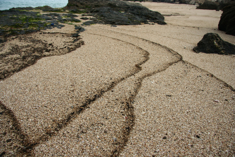
A large Persian Gulf island of eroded canyons, salt caves, mangrove channels and coastal villages shaped by trade across the Strait of Hormuz.
Explore this place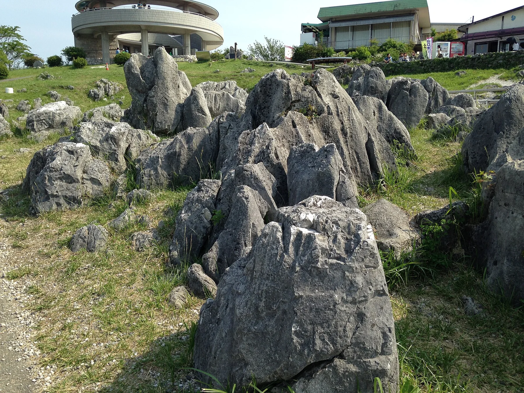
Japan's largest karst plateau combines pale limestone pinnacles, grassland, caves and a long record of human land management.
Explore this place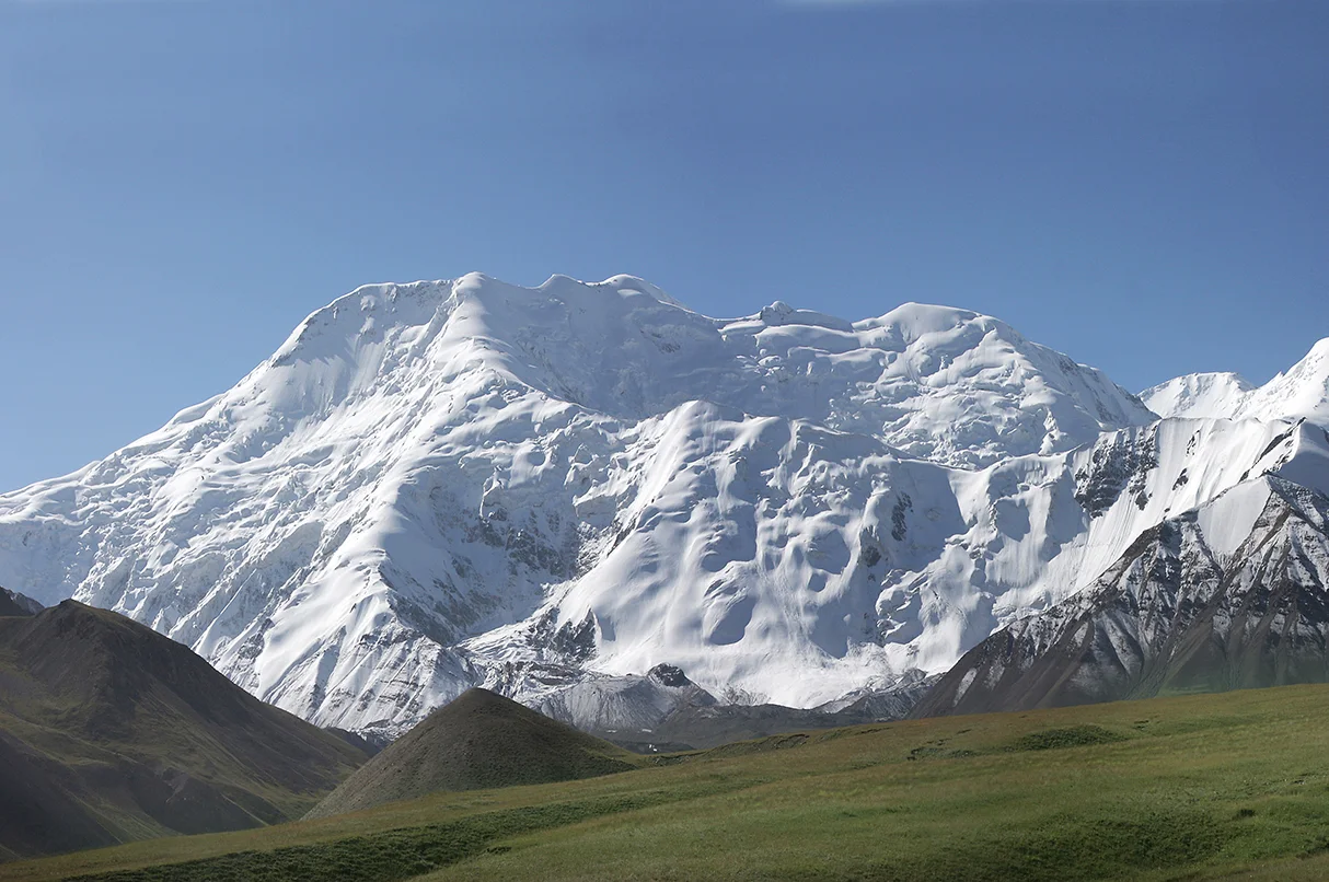
A broad high valley separates the Alay and Trans-Alay ranges, opening long views toward the Pamirs.
Explore this place