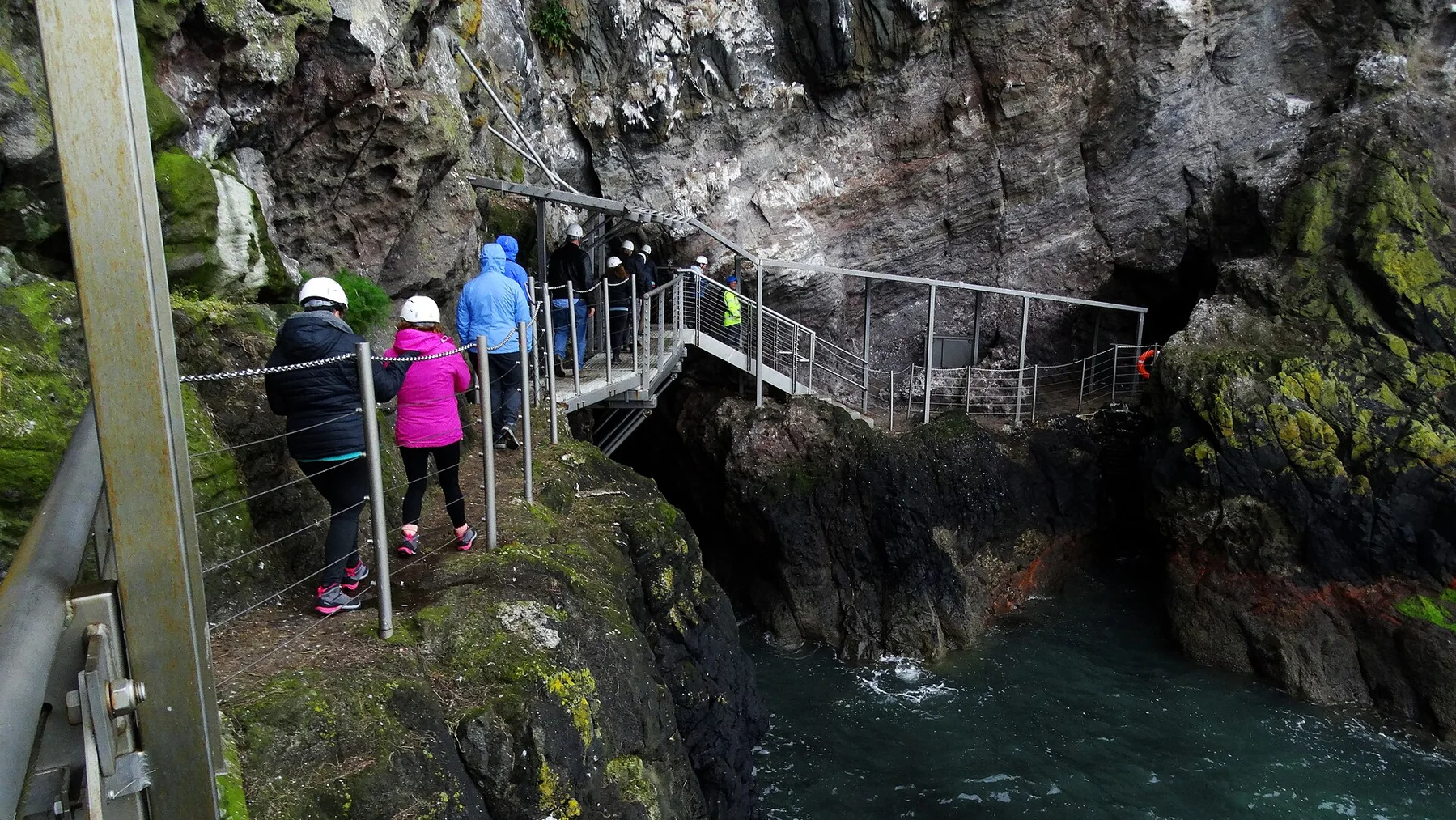
The jagged ridge feels far larger than the island, with steep rock, deer country and ocean on both sides.
Start early, put the exposed high point first and keep a lower route ready if cloud, wind or trail conditions change.
Look a little closer
Worth discovering
The details that make Isle of Rum different.
Destination view
01
Rum Cuillin
A demanding ridge traverse dominates the island.
Photo journal
02
Kinloch Castle
An eccentric Edwardian building stands near the ferry landing.
Photo journal
03
Kilmory Bay
Red deer research and a broad beach occupy the north coast.
Photo journal
A closer look at Isle of Rum
6 photographs
01Isle of Rum - Hydroelectric Dam - geograph.org.uk - 250676802Isle of Rum — view 203Meall Breac - geograph.org.uk - 222167604Corrie Dubh - geograph.org.uk - 250655505Kinloch Castle, Isle of Rum - geograph.org.uk - 657384906Kilmory Bay, Isle of Rum - geograph.org.uk - 6182674
Beyond the surface
The landscape memory of Isle of Rum
A mountainous island of volcanic ridges, red deer and one small settlement sits west of the Scottish mainland. The view is only the surface of a longer story of formation, use and change.
4 min readInner Hebrides, United Kingdom
Isle of Rum is centred on Inner Hebrides, where a mountainous island of volcanic ridges, red deer and one small settlement sits west of the Scottish mainland. The strongest reason to make the journey is to cross part of the rum cuillin above the sea.
Many visits to Isle of Rum begin with the experience described as “Cross part of the Rum Cuillin above the sea”. The more revealing question is why it exists here, how people used the surrounding ground and what remains visible from earlier phases. The jagged ridge feels far larger than the island, with steep rock, deer country and ocean on both sides.
The first layer of Isle of Rum is geological and ecological rather than scenic. Ridges, valleys and changing elevation create several distinct micro-landscapes. The strongest views usually require an early start and enough time to continue beyond the first accessible viewpoint.
The skyline is only the upper edge of a larger system. At Isle of Rum, “Rum Cuillin” connects the high ground with valleys, settlement and the movement of water below. A demanding ridge traverse dominates the island.
02
Settlement and memory
The human landscape behind the scenery
Rum's mountains and glens contain prehistoric sites and the remains of Gaelic townships, but nineteenth-century estate reorganisation removed much of the resident population. The island later became a sporting estate, with deer forests and managed landscapes replacing many earlier farming communities.
Industrial heir George Bullough inherited Rum and completed Kinloch Castle around 1900, filling it with technology and imported materials that contrasted sharply with the cleared glens. The island passed to the Nature Conservancy in 1957 and became a major field site for red deer, seabird and ecological research.
03
Modern history
The modern turning point
Public ownership shifted Rum from private sporting estate to national nature reserve, while Kinloch Castle and abandoned settlements preserved the social cost of earlier ownership. Modern community transfer around Kinloch added another layer to the island's long debate about who controls land and infrastructure.
04
On the ground
Landmarks that carry the deeper story
At Isle of Rum, the feature “Rum Cuillin” provides a precise clue to how the landscape works. A demanding ridge traverse dominates the island. Within Isle of Rum, the feature explains why this destination differs from nearby landscapes.
At Isle of Rum, the feature “Kinloch Castle” is best understood as part of the surrounding system rather than an isolated stop. An eccentric Edwardian building stands near the ferry landing. At Isle of Rum, it gives a concrete reference point for reading change rather than merely collecting viewpoints.
Look closely at the feature “Kilmory Bay” in Isle of Rum; it carries information that a panoramic view can miss. Red deer research and a broad beach occupy the north coast. At Isle of Rum, the detail links local scale with the wider regional pattern.
05
Present day
Why the landscape still feels dynamic
At Isle of Rum, light, water and temperature reveal different structures at different times of year. For Isle of Rum, the most reliable visiting window is May-Sep.
For Isle of Rum, the stated visiting window is May-Sep, but its practical meaning depends on local weather, water and transport rather than the calendar alone.
Placed within its wider geography, Isle of Rum is not an isolated exception. Beyond the best-known image of Isle of Rum feature, Isle of Rum matters because kinloch castle and kilmory bay place the destination inside a broader regional story.
Chronology
Key dates
Townships cleared and estate consolidated
Many Gaelic residents were displaced as Rum was reorganised for sheep and later deer stalking.
Kinloch Castle completed
The Bullough family built an extravagant residence at the head of Loch Scresort.
Nature reserve era begins
The state acquired Rum and placed conservation and research at the centre of island management.
Travel notes
Plan your visit
Time needed
2-4 days
Getting around
Road access to trailheads, then hiking
Effort
Moderate to demanding
Plan first
Trail conditions, weather and transport to the start
Time of day
Start early for clearer conditions
Best window
May-Sep
Traveller stories
Stories from people who have been here.
First-hand moments, practical notes and overlooked details from Isle of Rum.