Walk the White Cliffs, then finish in a wild hot spring
Few places compress such contrasting surfaces into one day: pale eroded walls, dark volcanic sand and naturally heated water within the same coastal corridor.
Plan the least frequent boat or flight first, then use the remaining time for the signature route rather than trying to collect every viewpoint.
Look a little closer
Worth discovering
The details that make Iturup Island different.
Destination view
01
White Cliffs
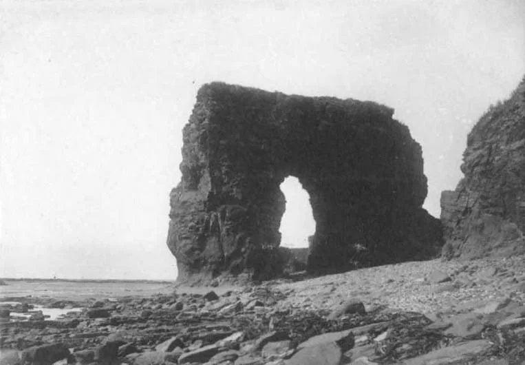
Wind-carved pumice forms bright walls above a dark beach.
Destination view
02
Baransky Volcano
Fumaroles and hot-water channels occupy an active volcanic valley.
Photo journal
03
Kasatka Bay
A broad Pacific bay holds wartime history and dramatic weather.
Photo journal
A closer look at Iturup Island
2 photographs
01Остров Итуруп. Вулкан Баранского02Iturup Kasatka bay
Beyond the surface
What made Iturup Island distinctive
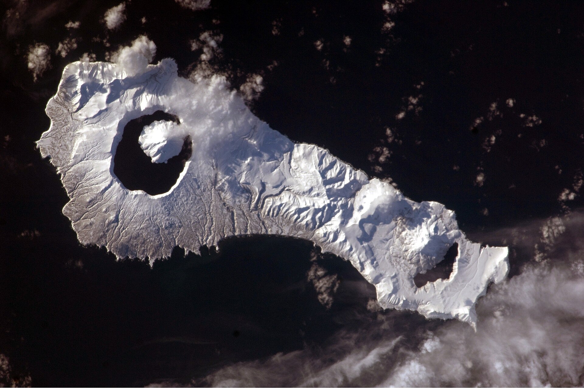
A long volcanic island of white pumice cliffs, black beaches, hot rivers and active fumaroles. Its character becomes clearer when geology, settlement and modern protection are considered together.
4 min readSouthern Kuril Islands, Russia
Iturup Island is centred on Southern Kuril Islands, where a long volcanic island of white pumice cliffs, black beaches, hot rivers and active fumaroles. The strongest reason to make the journey is to walk the white cliffs, then finish in a wild hot spring.
The familiar invitation at Iturup Island is “Walk the White Cliffs, then finish in a wild hot spring”, yet that image makes more sense when it is connected to the landform, the local economy and the changes that determined access. Few places compress such contrasting surfaces into one day: pale eroded walls, dark volcanic sand and naturally heated water within the same coastal corridor.
On an island, coast, altitude and exposure work together. At Iturup Island, the feature described as “White Cliffs” shows how a short distance can separate sheltered ground from a very different ocean-facing environment. Wind-carved pumice forms bright walls above a dark beach.
Iturup Island is not a uniform area. Changes in elevation, exposure, water and substrate produce distinct environments over short distances, which is why a route through the place often reveals more than a fixed viewpoint.
02
Human history
Lives shaped by the terrain
Iturup was inhabited and used by Ainu communities before Russian traders and Japanese authorities competed for control of the southern Kurils. Fisheries, sulphur deposits and strategic position made the island far more than a remote volcanic landscape.
Japan administered Iturup until Soviet forces occupied it in 1945. The Japanese population was expelled, Soviet settlements and military facilities expanded, and the island remains part of the unresolved territorial dispute between Russia and Japan.
03
Turning point
The modern turning point
Post-war resettlement replaced one cultural landscape with another, while roads, ports and defence infrastructure concentrated around a few settlements. The waterfalls and volcanoes visitors see today sit inside an actively contested geopolitical space.
04
Visible evidence
Landmarks that carry the deeper story
Look closely at the feature “White Cliffs” in Iturup Island; it carries information that a panoramic view can miss. Wind-carved pumice forms bright walls above a dark beach. At Iturup Island, the detail links local scale with the wider regional pattern.
Start with the feature “Baransky Volcano”, because it condenses a much larger part of the story of Iturup Island. Fumaroles and hot-water channels occupy an active volcanic valley. Within Iturup Island, the feature explains why this destination differs from nearby landscapes.
At Iturup Island, the feature “Kasatka Bay” is best understood as part of the surrounding system rather than an isolated stop. A broad Pacific bay holds wartime history and dramatic weather. Within Iturup Island, it is both an attraction and a record of the processes described above.
05
Season and scale
The current chapter
A single visit to Iturup Island captures only one phase of its annual cycle. For Iturup Island, the most reliable visiting window is Jul-Oct.
For Iturup Island, the stated visiting window is Jul-Oct, but its practical meaning depends on local weather, water and transport rather than the calendar alone.
Placed within its wider geography, Iturup Island is not an isolated exception. Beyond the best-known image of Iturup Island feature, Iturup Island matters because baransky volcano and kasatka bay place the destination inside a broader regional story.
Chronology
Key dates
Ainu use of the island
Fishing, hunting and exchange connected Iturup with the wider Kuril world.
Japanese administration
Treaties and colonisation placed the island under Japan.
Soviet and Russian control
Military occupation, population transfer and continuing dispute reshaped settlement and access.
Travel notes
Plan your visit
Time needed
3-5 days
Getting around
Local transport, walking and boat or ferry connections
Effort
Easy to moderate
Plan first
Main flight or ferry, accommodation and weather backup
Time of day
Morning movement; late light for coast
Best window
Jul-Oct
Traveller stories
Stories from people who have been here.
First-hand moments, practical notes and overlooked details from Iturup Island.