Ghunsa valley
High villages and forest form the cultural core of the northern approach.
Start early and make this the first exposed stop of the day. Keep a lower route ready if cloud, heat, wind or trail conditions change during Mar-May, Oct-Nov.
Deep river valleys, rhododendron forest, high villages and enormous Himalayan peaks form Nepal’s remote eastern mountain frontier.
High villages and forest form the cultural core of the northern approach.
Start early and make this the first exposed stop of the day. Keep a lower route ready if cloud, heat, wind or trail conditions change during Mar-May, Oct-Nov.
The details that make Kanchenjunga Conservation Area different.
High villages and forest form the cultural core of the northern approach.
Huge mountain walls dominate the upper valleys without reducing the importance of the approach landscape.
Subtropical, forest, alpine and glacial zones unfold across a single long journey.
Deep river valleys, rhododendron forest, high villages and enormous Himalayan peaks form Nepal’s remote eastern mountain frontier. The view is only the surface of a longer story of formation, use and change.
The Kanchenjunga Conservation Area occupies Nepal’s far eastern Himalaya beneath the world’s third-highest mountain. Approaches follow long river valleys and village routes before reaching increasingly open alpine and glacial terrain.
Visitors often encounter Kanchenjunga Conservation Area through the idea of “Ghunsa valley”, but the destination is more than that single scene. Its landscape carries evidence of work, movement, adaptation and environmental change. High villages and forest form the cultural core of the northern approach.
Continue to practical planningThe first layer of Kanchenjunga Conservation Area is geological and ecological rather than scenic. Elevation changes are extreme, moving from subtropical valleys through temperate forest and rhododendron belts to moraine, glacier and high mountain walls. The length of these transitions gives the region a strong expedition character.
Altitude turns distance into effort and creates abrupt ecological boundaries. At Kanchenjunga Conservation Area, “Ghunsa valley” provides a useful reference point for understanding that vertical structure. High villages and forest form the cultural core of the northern approach.
At Kanchenjunga Conservation Area, daily life gives the terrain a historical meaning that a viewpoint alone cannot provide. Sherpa, Limbu, Rai and other communities live along the approach valleys, maintaining agriculture, herding and trade connections adapted to altitude and seasonal access. Lodges are fewer and settlements more dispersed than on Nepal’s busiest trekking circuits.
A close look at “Kanchenjunga massif” makes the cultural layer of Kanchenjunga Conservation Area more concrete. Huge mountain walls dominate the upper valleys without reducing the importance of the approach landscape. At Kanchenjunga Conservation Area, the surviving form links present-day identity with earlier work and settlement.
Formal protection changed how Kanchenjunga Conservation Area was described and managed. At Kanchenjunga Conservation Area, new boundaries, visitor rules and conservation priorities created a public identity that still has to coexist with settlements, customary use and economic pressures. Kanchenjunga Conservation Area should therefore be read as an evolving cultural landscape rather than a timeless scene.
At Kanchenjunga Conservation Area, the significance of the feature “Ghunsa valley” goes beyond its visual impact. High villages and forest form the cultural core of the northern approach. At Kanchenjunga Conservation Area, the detail links local scale with the wider regional pattern.
Look closely at the feature “Kanchenjunga massif” in Kanchenjunga Conservation Area; it carries information that a panoramic view can miss. Huge mountain walls dominate the upper valleys without reducing the importance of the approach landscape. Within Kanchenjunga Conservation Area, it is both an attraction and a record of the processes described above.
Start with the feature “Elevation sequence”, because it condenses a much larger part of the story of Kanchenjunga Conservation Area. Subtropical, forest, alpine and glacial zones unfold across a single long journey. At Kanchenjunga Conservation Area, it gives a concrete reference point for reading change rather than merely collecting viewpoints.
At Kanchenjunga Conservation Area, season is part of the landscape history, not merely a planning detail. Spring brings rhododendron flowering and gradually improving high-pass access. October and November usually provide the clearest post-monsoon conditions, while winter and the monsoon make remote travel more demanding.
For Kanchenjunga Conservation Area, the main seasonal constraint is: the strongest planning window is Mar-May, Oct-Nov. For Kanchenjunga Conservation Area, outside it, check weather, daylight, road or ferry schedules and seasonal closures before committing to a fixed route.
For Kanchenjunga Conservation Area, one practical detail matters: distances, fuel, food and mobile coverage can be less predictable than the map suggests. For Kanchenjunga Conservation Area, carry offline maps and keep a margin in the schedule.
Placed within its wider geography, Kanchenjunga Conservation Area is not an isolated exception. For Kanchenjunga Conservation Area, the wider context shows that, the conservation area links Nepal with Sikkim and Tibet across a complex high-mountain border zone. For Kanchenjunga Conservation Area, its scale is best understood as a complete valley-to-glacier system rather than only a view of Kanchenjunga itself.
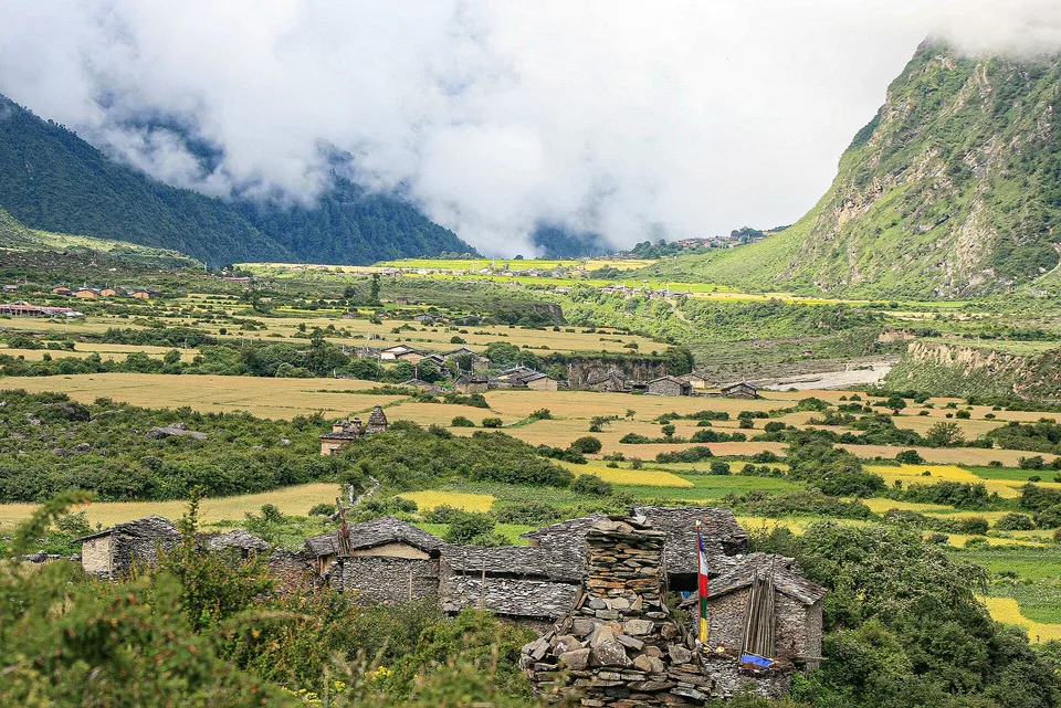
Stone villages, Buddhist monasteries and cultivated terraces occupy a high Himalayan valley beneath the Ganesh Himal range.
Explore this place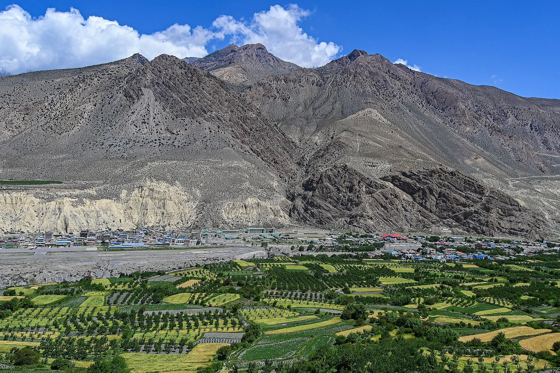
Eroded cliffs, walled settlements and Tibetan cultural landscapes occupy a rain-shadow basin north of the central Himalaya.
Explore this place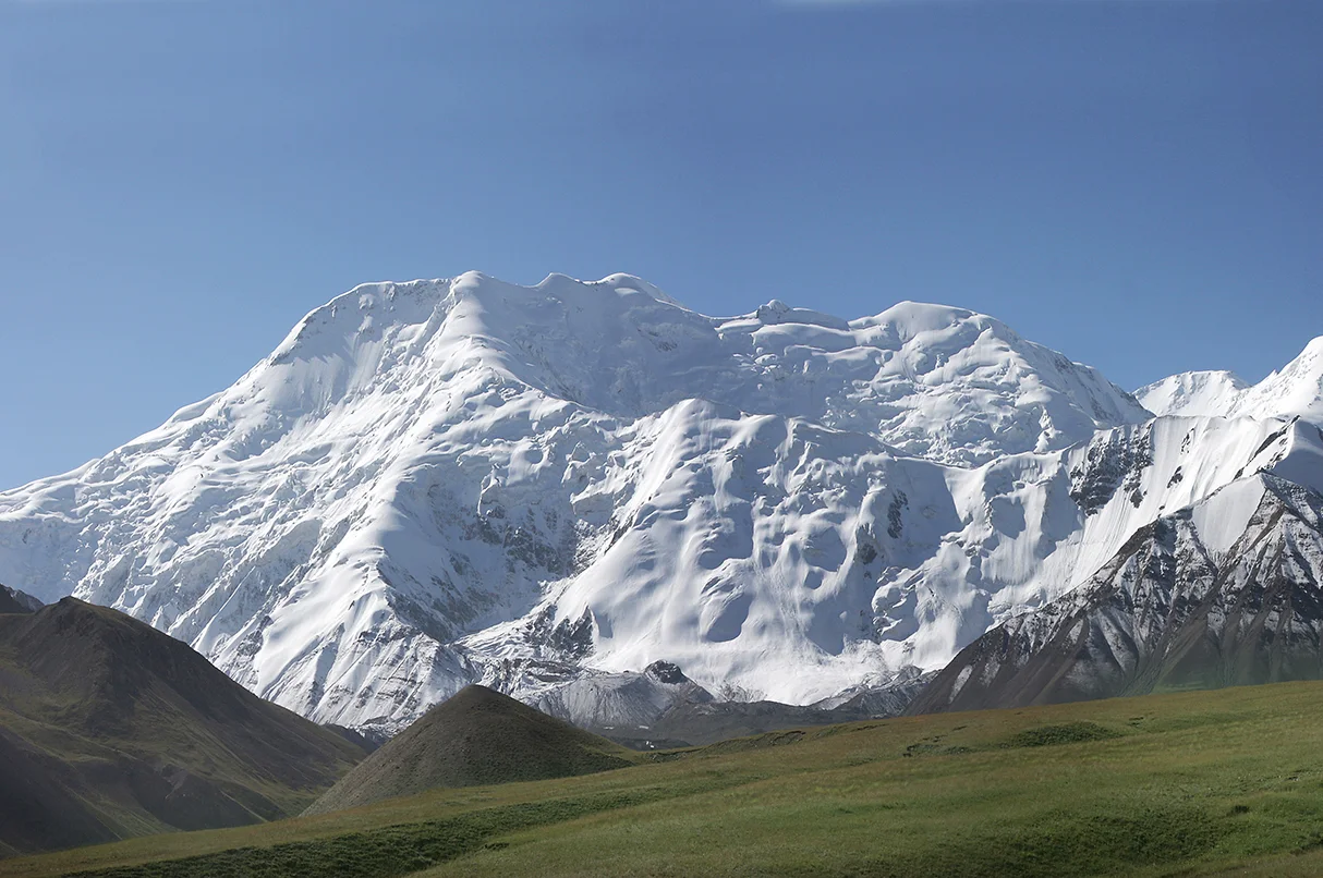
A broad high valley separates the Alay and Trans-Alay ranges, opening long views toward the Pamirs.
Explore this place